
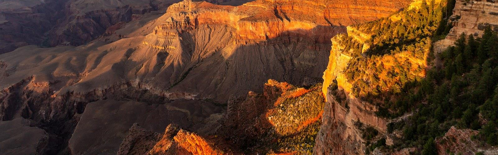
Ready to explore Gran Canyon? Here's everything you need to know before you go!
Discover the trail
Oh no! We don't have any photos 😢
This trail hasn't been captured yet. Be the first to share your adventure!Trail description
The North Rim
The North Rim sits at a higher elevation and has a shorter season, typically open from mid-May through mid-October. However, the exact opening and closing dates can vary based on weather conditions and snow levels — early season snow may delay opening, and the rim may close earlier than mid-October if winter conditions arrive sooner than expected. It's quieter, more forested, and gives a noticeably different perspective on the canyon. If you want the Grand Canyon without the crowds, the North Rim is worth the extra drive. Always check current conditions with the National Park Service before planning a North Rim trip.
In winter
According to the NPS, the South Rim of Grand Canyon National Park is open year round, and roads are drivable except in inclement weather. The park does not use salt or snow melt on its roads; it uses rock cinders for traction, and tire chains are generally not required but may be used by any vehicle. The NPS asks visitors to check AZ 511 or call the park's Roads Line (928-638-7496) before driving. Free South Rim shuttle buses operate during the winter. The North Rim is closed to all vehicle traffic between December 1 and May 14; the NPS says that this winter its developed area, roads and select trails, including the North Kaibab Trail, remain fully closed (page updated September 21, 2026). On the trails, the NPS says there are snow-packed, icy and muddy places and recommends slip-on shoe traction devices and trekking poles. It reminds winter visitors that precipitation in northern Arizona is quite variable, so the ground does not always look like winter, and that locations inside the canyon offer milder temperatures in winter.
Everything you need for your next hike. Bilingual, printable, 1 page.
Get your free hiking checklistRecommended gear for this trail
As an Amazon Associate I earn from qualifying purchases.


Ready to go?
Everything you need to know before you goWhen?
As an Amazon Associate I earn from qualifying purchases.
Affiliate links — LGPO may earn a commission at no extra cost to you.
- Hiking shoes Essential
- → Salomon Elixir Tour Mid WP · 203.38 $
- Layered clothing Essential
- Rain jacket Essential
- Trekking poles
- → Black Diamond Trail Ergo Cork · 69.99 $
- Headlamp
- → Petzl Actik Core 625 · 103.95 $
FAQ - Frequently asked questions
Everything you need to knowOutings near Gran Canyon
Discover other trails you might enjoy
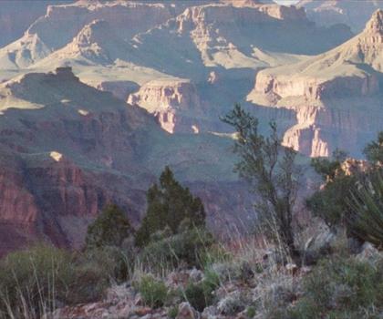
New Hance Trail
Northern Arizona · 19.7 km away
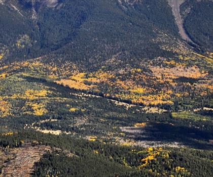
Kendrick Peak
Northern Arizona · 76.3 km away

Humphreys Peak
Northern Arizona · 89.0 km away
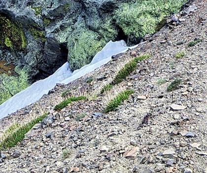
Doyle Peak
Northern Arizona · 92.0 km away
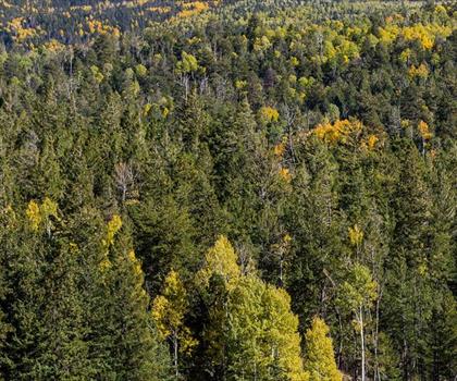
Hart Prairie
Northern Arizona · 92.1 km away
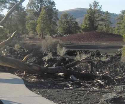
Sunset Crater Volcano
Northern Arizona · 95.8 km away
Hiking near Kelowna
50 trails to explore ~1648 km away
We work hard to provide the most up-to-date and error-free data possible. If something seems incorrect, let us know! Your contribution helps the whole community.
Hikers' opinions
Be the first to review!
No hiker has shared their experience yet. Share your impressions and help other hikers!