

Ready to explore Big Sur? Here's everything you need to know before you go!
Discover the trail
Trail description
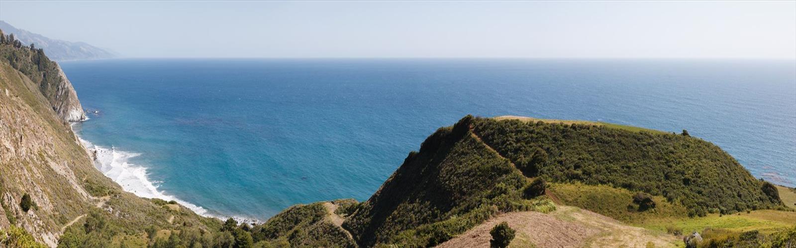
Big Sur is a lightly populated region of the Central Coast of California where the Santa Lucia Mountains rise abruptly from the Pacific Ocean. Although it has no specific boundaries, many definitions of the area include the 90 miles (140 km) of coastline from the Carmel River in Monterey County south to the San Carpoforo Creek in San Luis Obispo County, and extend about 20 miles (30 km) inland to the eastern foothills of the Santa Lucias. Other sources limit the eastern border to the coastal flanks of these mountains, only 3 to 12 miles (5 to 19 km) inland. Another practical definition of the region is the segment of California State Route 1 from Carmel south to San Simeon. The northern end of Big Sur is about 120 miles (190 km) south of San Francisco, and the southern end is approximately 245 miles (394 km) northwest of Los Angeles.
The name "Big Sur" is derived from the original Spanish-language "el sur grande", meaning "the big south", or from "el país grande del sur", "the big country of the south". This name refers to its location south of the city of Monterey. The terrain offers stunning views, making Big Sur a popular tourist destination. Big Sur's Cone Peak is the highest coastal mountain in the contiguous 48 states, ascending nearly a mile (5,155 feet/1571 m) above sea level, only 3 miles (5 km) from the ocean.
The name Big Sur can also specifically refer to any of the small settlements in the region, including Posts, Lucia and Gorda; mail sent to most areas within the region must be addressed "Big Sur".
Free
1 pages
The Essential Hiking Checklist
Everything you need for your next hike. Bilingual, printable, 1 page.
Get your free hiking checklistRecommended gear for this trail
As an Amazon Associate I earn from qualifying purchases.
LGPO Pick

Salomon
Elixir Tour Mid WP
Waterproof mid-height boot ideal for rocky terrain
203.38 $


Affiliate links — LGPO may earn a commission at no extra cost to you.
Ready to go?
Everything you need to know before you goWhen?
Opening hours
No information
Varies by season
Best season
Fall
Spectacular colors
Best time
Early morning
Less crowded
Weather (next days)
Loading
How much?
Entry fees
Adult
Not available
Child
—
What to bring?
As an Amazon Associate I earn from qualifying purchases.
Affiliate links — LGPO may earn a commission at no extra cost to you.
Gear
- Hiking shoes Essential
- → Salomon Elixir Tour Mid WP · 203.38 $
- Layered clothing Essential
- Rain jacket Essential
- Trekking poles
- → Black Diamond Trail Ergo Cork · 69.99 $
- Headlamp
- → Petzl Actik Core 625 · 103.95 $
Water & food
2L minimum
No water point on the trail
Bring energy snacks for a 4h+ hike
Good to know
Safety
Download the GPX before you go
Limited cellular coverage on the trail
Slippery after rain
Be careful on rocky sections
In an emergency
Emergency
911
Parking GPS
36.249, -121.564593
Center
Not available
FAQ - Frequently asked questions
Everything you need to knowBig Sur is rated easy.
The elevation gain of Big Sur is 12 m.
The summit of Big Sur is at 1,310 m.
Allow about 0h20 for Big Sur (1 km).
No, Big Sur has no visitor centre on site.
Didn't find your answer?
Similar hikes nearby
Discover other trails you might enjoy

Saddle Peak, California
Central Coast
5.6 km
2h30
839 m
Intermediate
Indians Road
Central Coast
15.3 KM
4h
470 m
Intermediate
Pinnacles National Park
Central Coast
5 KM
2h15
350 m
Intermediate
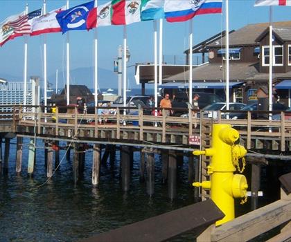
Stearns Wharf
Central Coast
1.6 KM
20 min
10 m
Beginner
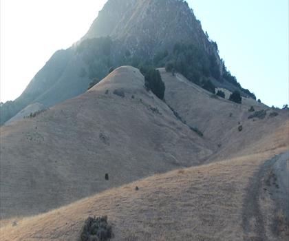
Bishop Peak, California
Central Coast
10.5 KM
5h15
1075 M
Advanced
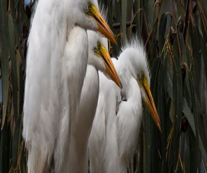
Black Hill, California
Central Coast
17.4 KM
6h30
520 M
Advanced
Top 10 best hiking in Central Coast
Our ranking based on hiker reviews
Hiking near Victoria
93 trails to explore ~1361 km away
Did you spot an error?
We work hard to provide the most up-to-date and error-free data possible. If something seems incorrect, let us know! Your contribution helps the whole community.
Hikers' opinions
Be the first to review!
No hiker has shared their experience yet. Share your impressions and help other hikers!