
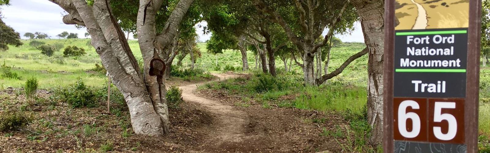
Ready to explore Fort Ord? Here's everything you need to know before you go!
Discover the trail
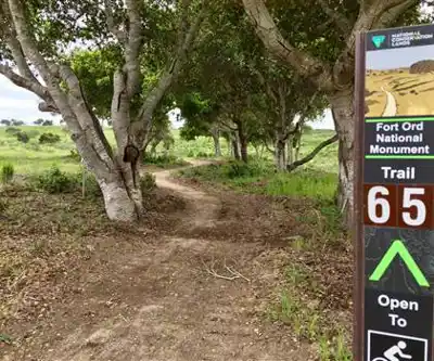
Trail description
Fort Ord is a former United States Army post on Monterey Bay of the Pacific Ocean coast in California, which closed in 1994. Most of the fort's land now makes up the Fort Ord National Monument, managed by the U.S. Bureau of Land Management as part of the National Landscape Conservation System. Before construction and official designation as a fort in 1940, the land was used as a maneuver area and field-artillery target range during 1917. Fort Ord was considered one of the most attractive locations of any U.S. Army post, because of its proximity to the beach and California weather. The 7th Infantry Division was its main garrison for many years. When Fort Ord was converted to civilian use, space was set aside for the first nature reserve in the United States created for conservation of an insect, the endangered Smith's blue butterfly. Additional endangered species are found on Fort Ord including; Contra Costa goldfields and the threatened California Tiger Salamander.
While much of the old military buildings and infrastructure remain abandoned, many structures have been torn down for anticipated development. California State University at Monterey Bay and the Fort Ord Dunes State Park, along with some subdivisions, the Veterans Transition Center, a commercial strip mall, military facilities and a nature preserve occupy the area today.
On April 20, 2012, President Barack Obama signed a proclamation designating a 14,651-acre (5,929 ha) portion of the former post as the Fort Ord National Monument. In his proclamation, the President stated that, "The protection of the Fort Ord area will maintain its historical and cultural significance, attract tourists and recreationalists from near and far, and enhance its unique natural resources, for the enjoyment of all Americans."
In winter
The BLM's trail map and guide for Fort Ord National Monument describes the single-track trails as popular with hikers and bikers and advises avoiding them when wet; it describes the administrative roads, most of them graveled and a few paved, as more durable for wet use. The BLM's trail rules ask cyclists to avoid riding on wet trails to reduce damage. The BLM's 2020 trail map and guide give the monument's hours as one-half hour before sunrise to one-half hour after sunset, while the BLM's monument page says public use is allowed from dawn to dusk. According to the BLM, in winter you might see the federally protected California tiger salamander on the move toward vernal pools as they fill with water, and in late winter and early spring the monument's displays of wildflowers include baby blue-eyes, ceanothus blue blossom, goldfields and lupine. For questions, the BLM lists (831) 582-2200.
Everything you need for your next hike. Bilingual, printable, 1 page.
Get your free hiking checklistRecommended gear for this trail
As an Amazon Associate I earn from qualifying purchases.


Ready to go?
Everything you need to know before you goWhen?
As an Amazon Associate I earn from qualifying purchases.
Affiliate links — LGPO may earn a commission at no extra cost to you.
- Hiking shoes Essential
- → Salomon Elixir Tour Mid WP · 203.38 $
- Layered clothing Essential
- Rain jacket Essential
- Trekking poles
- → Black Diamond Trail Ergo Cork · 69.99 $
- Headlamp
- → Petzl Actik Core 625 · 103.95 $
FAQ - Frequently asked questions
Everything you need to knowOutings near Fort Ord
Discover other trails you might enjoy
Big Sur
Central Coast · 45.4 km away
High Peaks Trail
Central Coast · 53.2 km away
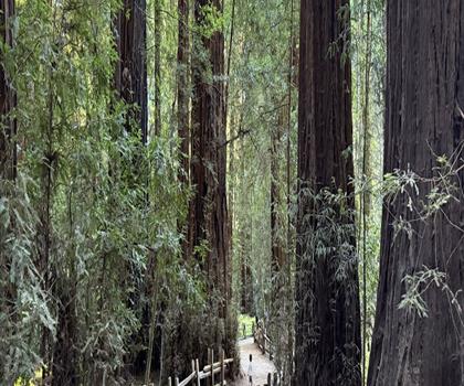
Mount Hermon, California
Central Coast · 53.3 km away
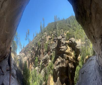
Pinnacles National Park
Central Coast · 55.5 km away
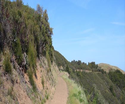
Sierra Azul Open Space Preserve
Gold Country · 59.4 km away
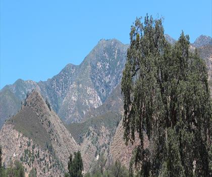
Indians Road
Central Coast · 60.8 km away
Hiking near Victoria
105 trails to explore ~1318 km away
We work hard to provide the most up-to-date and error-free data possible. If something seems incorrect, let us know! Your contribution helps the whole community.
Hikers' opinions
Be the first to review!
No hiker has shared their experience yet. Share your impressions and help other hikers!