
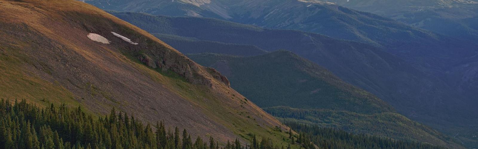

Ready to explore King Peak, California? Here's everything you need to know before you go!
Discover the trail
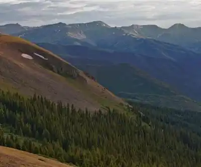
Trail description
King Peak is the highest point in the King Range National Conservation Area, rising to 4,087 feet (1,246 meters) above the rugged Lost Coast of Northern California. Located in the Shasta Cascade region, this summit sits just a few miles from the Pacific Ocean, making it one of the most dramatic coastal climbs in the entire state. The combination of steep terrain, dense forest, and sweeping ocean views makes King Peak a standout objective for hikers and scramblers looking for something more demanding than a typical trail walk.
The Terrain
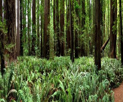
The King Range lives up to its reputation as one of California's most unforgiving landscapes. The mountains here rise sharply from sea level, and King Peak is no exception — the ascent involves significant elevation gain over a relatively short horizontal distance. Trails in the area pass through dense Douglas fir and tanoak forest before breaking out onto exposed ridgelines where the views open up dramatically. The upper sections can involve some route-finding, and the terrain underfoot is often steep, loose, or overgrown depending on the season and recent trail maintenance.
The Bureau of Land Management (BLM) oversees the King Range NCA, and the trail network here is less manicured than what you'd find in a state or national park. Expect a more raw, self-reliant experience. Signage is minimal in places, and conditions can change quickly given the area's proximity to the ocean and its notoriously unpredictable weather.
The Climb
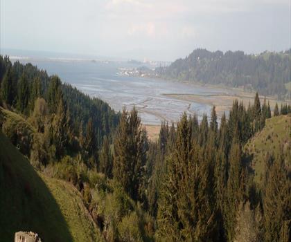
Several routes lead to the summit of King Peak, with the most common approach starting from the Saddle Mountain trailhead or via the Lightning trailhead. The climb is steep throughout, and most routes gain elevation quickly without much flat relief. The upper ridge offers some of the most exposed hiking in the King Range, with views stretching across the Lost Coast, the Pacific Ocean, and on clear days, far into the interior of Northern California.
The summit itself is marked and offers a 360-degree panorama that rewards the effort. On one side, the ocean stretches to the horizon. On the other, the ridges and valleys of the King Range roll inland. It's a genuinely impressive vantage point, and one that feels earned given the work required to get there.
What to Expect on the Trail
- Steep and sustained climbing: This is not a gradual ascent. The King Range is known for dramatic elevation changes, and the routes to King Peak reflect that. Trekking poles are useful, and solid footwear with ankle support is strongly recommended.
- Navigation skills matter: Trail markings can be sparse. Carrying a map and compass — or a downloaded offline GPS track — is a good idea, especially in fog or low visibility conditions.
- Coastal weather: The Lost Coast is famous for fog, wind, and rain that can roll in without much warning. Even on a clear morning, conditions near the summit can shift quickly. Layering is essential year-round.
- Limited facilities: The King Range NCA is a backcountry area. Don't expect restrooms, water stations, or maintained parking at every trailhead. Come prepared with enough water and supplies for the full day.
Access and Logistics
The King Range is located in Humboldt County, in the Shasta Cascade region of Northern California. Access roads into the area are often unpaved and can be rough, particularly after wet weather. A high-clearance vehicle is recommended for reaching some of the trailheads. The nearest services — gas, food, lodging — are in the small communities along the Humboldt coast, so plan accordingly before heading out.
The BLM manages the area and there is no entrance fee for day use, though some campgrounds in the King Range NCA require a fee or permit. If you're planning to combine the King Peak climb with an overnight trip along the Lost Coast Trail, check current permit requirements with the BLM Arcata Field Office before your visit.
Who This Climb Is For
King Peak is best suited for hikers who are comfortable with steep, unmaintained terrain and have some experience navigating in variable conditions. It's not a technical climb in the mountaineering sense, but it demands solid fitness, good judgment, and a willingness to work for the views. If you've done challenging day hikes in the Sierra Nevada or other parts of Northern California and are looking for something with a wilder, more coastal character, King Peak delivers exactly that.
The Lost Coast setting makes this summit unlike almost anything else in California — the combination of ocean proximity, steep relief, and genuine remoteness puts it in a category of its own among the state's hiking objectives.
The Essential Hiking Checklist
Everything you need for your next hike. Bilingual, printable, 1 page.
Get your free hiking checklistRecommended gear for this trail
As an Amazon Associate I earn from qualifying purchases.


Ready to go?
Everything you need to know before you goWhen?
How much?
As an Amazon Associate I earn from qualifying purchases.
Affiliate links — LGPO may earn a commission at no extra cost to you.
- Hiking shoes Essential
- → Salomon Elixir Tour Mid WP · 203.38 $
- Layered clothing Essential
- Rain jacket Essential
- Trekking poles
- → Black Diamond Trail Ergo Cork · 69.99 $
- Headlamp
- → Petzl Actik Core 625 · 103.95 $
FAQ - Frequently asked questions
Everything you need to knowSimilar hikes nearby
Discover other trails you might enjoy

Hiking near Victoria
93 trails to explore ~921 km away
We work hard to provide the most up-to-date and error-free data possible. If something seems incorrect, let us know! Your contribution helps the whole community.
Hikers' opinions
Be the first to review!
No hiker has shared their experience yet. Share your impressions and help other hikers!