

Ready to explore Salmon Mountain, California? Here's everything you need to know before you go!
Discover the trail
Trail description
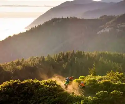
Salmon Mountain sits in the heart of the Klamath Mountains in northern California's Shasta-Cascade region, and it's one of those peaks that rewards the people who make the effort to find it. This isn't a trailhead with a busy parking lot and a kiosk — it's a genuine backcountry objective that draws climbers and peak-baggers looking for something off the beaten path.
The Mountain and Its Setting
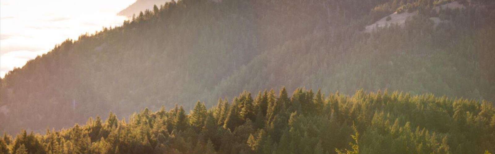
Salmon Mountain is the high point of the Salmon Mountains, a subrange of the Klamath Mountains that straddles the boundary between Siskiyou and Trinity counties. The surrounding landscape is rugged and largely wild, characterized by steep ridgelines, dense conifer forests, and the kind of remote terrain that makes northern California's interior feel genuinely untamed. The Klamath Mountains are geologically distinct from the Sierra Nevada and the Cascades — they're older, more complex, and botanically among the richest mountain ranges in North America.
The area sits within the Klamath National Forest, and the broader region is known for exceptional biodiversity. The Klamath-Siskiyou region is recognized as a global biodiversity hotspot, with an unusually high concentration of endemic plant species. If you pay attention on the approach, the vegetation tells that story clearly.
The Climb
Reaching the summit of Salmon Mountain is a cross-country endeavor for most of the route. There's no maintained trail that takes you directly to the top, which means route-finding skills and solid map reading are genuinely useful here — not just nice to have. The terrain involves open ridgelines, brushy slopes, and rocky sections near the summit.
The approach typically follows forest roads before transitioning to off-trail travel. The exact line varies depending on your starting point and conditions, but the general objective is clear: gain the main ridge and follow it to the high point. The summit itself offers expansive views across the Klamath Mountains, with the Salmon River canyon cutting deep below and ridgelines extending in every direction.
Because this is a cross-country climb rather than a maintained trail hike, it suits people who are comfortable with navigation and don't need a defined path underfoot. Trekking poles are useful on the steeper brushy sections, and sturdy footwear matters more here than on a groomed trail.
What Makes This Place Stand Out
The Salmon Mountains don't get the same attention as the Trinity Alps to the south or Mount Shasta to the northeast, and that's a big part of their appeal. You're unlikely to encounter crowds here. The solitude is real, and the sense of being in genuinely remote terrain is something you feel from the moment you leave the pavement behind.
The Klamath Mountains as a whole are a botanist's dream, and the Salmon Mountain area reflects that. The mix of serpentine soils, varied elevation, and the convergence of different climate influences creates conditions where plant communities you won't find elsewhere in California thrive. Even if botany isn't your thing, the visual variety of the landscape — from dense forest to open rocky ridges — keeps the experience interesting throughout.
Wildlife in the region includes black bear, mountain lion, black-tailed deer, and a wide range of raptors. The Salmon River watershed below is one of the most important salmon and steelhead rivers remaining in California, which gives the whole area an ecological significance that goes well beyond the summit itself.
Practical Considerations
Getting to the trailhead or road access point for Salmon Mountain requires navigating forest roads, and conditions on those roads can vary significantly by season. A high-clearance vehicle is strongly recommended. Check current road conditions with the Klamath National Forest before heading out, especially earlier in the season when snow and mud can make access unpredictable.
Cell service in this area is essentially nonexistent. Download your maps offline before you go, and carry a paper backup. A GPS device or a satellite communicator is a smart addition to your kit given the remote nature of the terrain.
Water sources exist in the area, but as with any backcountry objective, treat all water before drinking. Carry more than you think you'll need, particularly on warmer days when the exposed ridgeline sections can be drier than expected.
There are no fees associated with accessing this area for day use, and no permit is currently required for this type of cross-country travel within the Klamath National Forest. That said, regulations can change, and it's always worth confirming current requirements with the forest service before your trip.
Best Time to Visit
The window for climbing Salmon Mountain is generally mid-summer through early fall, once the snowpack has melted from the upper elevations and before the fall storms move in. The high ridgelines can hold snow well into June in a heavy snow year, so checking current conditions is important if you're planning an early-season attempt.
Late July through September tends to offer the most reliable conditions — stable weather, clear views, and manageable brush on the approach slopes. Afternoon thunderstorms are possible in summer, so an early start is a good habit on any exposed summit objective in this region.
Who This Is For
Salmon Mountain is best suited for experienced hikers and climbers who are comfortable with off-trail navigation and don't require a marked path. It's not a technical climb in the mountaineering sense — you don't need ropes or specialized gear — but the cross-country nature of the route, the remoteness of the location, and the physical demands of the terrain mean it's not an appropriate objective for beginners or casual day hikers.
If you're someone who actively seeks out the quieter corners of California's mountain ranges and values the experience of earning a summit through genuine effort and navigation, Salmon Mountain delivers exactly that kind of day in the hills.
The Essential Hiking Checklist
Everything you need for your next hike. Bilingual, printable, 1 page.
Get your free hiking checklistRecommended gear for this trail
As an Amazon Associate I earn from qualifying purchases.


Ready to go?
Everything you need to know before you goWhen?
How much?
As an Amazon Associate I earn from qualifying purchases.
Affiliate links — LGPO may earn a commission at no extra cost to you.
- Hiking shoes Essential
- → Salomon Elixir Tour Mid WP · 203.38 $
- Layered clothing Essential
- Rain jacket Essential
- Trekking poles
- → Black Diamond Trail Ergo Cork · 69.99 $
- Headlamp
- → Petzl Actik Core 625 · 103.95 $
FAQ - Frequently asked questions
Everything you need to knowSimilar hikes nearby
Discover other trails you might enjoy

Mount Ingalls, California
Shasta Cascade
Mount Shasta, California
Shasta Cascade
Mule Mountain, California
Shasta Cascade
Round Valley Reservoir
Shasta Cascade
Klamath River
Shasta Cascade
Lassen Volcanic National Park
Shasta Cascade
Hiking near Victoria
93 trails to explore ~805 km away
We work hard to provide the most up-to-date and error-free data possible. If something seems incorrect, let us know! Your contribution helps the whole community.
Hikers' opinions
Be the first to review!
No hiker has shared their experience yet. Share your impressions and help other hikers!