
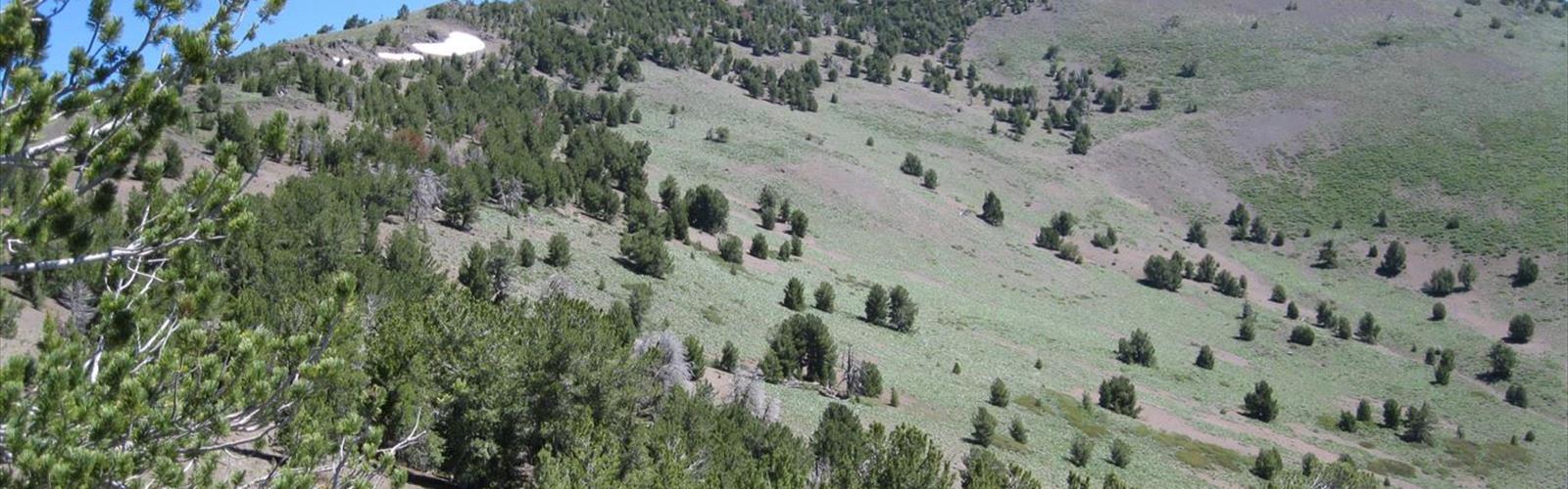

Ready to explore Scott Mountain, California? Here's everything you need to know before you go!
Discover the trail
Trail description
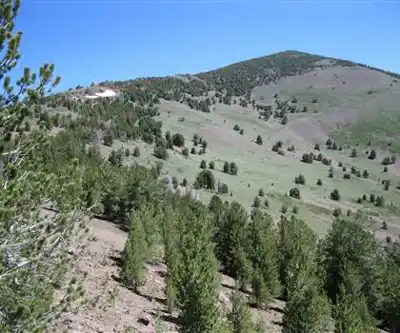
Scott Mountain is located in the Klamath Mountains subrange in Siskiyou County, northwestern California. The mountain is part of an extensive trail network that includes sections of the Pacific Crest Trail, offering hikers and outdoor enthusiasts access to scenic alpine environments.
Access and Trails
Access to Scott Mountain is via CA-3 N, followed by Callahan-Cecilville Road for 2.1 miles until it becomes Forest Highway 903. The trailhead is located on the left side of FH 903. This area provides scenic views of the Forks of Salmon region and integrates with the broader Pacific Crest Trail system.
Trail Network
The Scott Mountain area features a network of trails suitable for hiking and backpacking. The terrain transitions through different elevations and ecosystems, providing varied scenery throughout the year. Early morning starts are recommended to ensure adequate parking during peak recreation periods.
Seasonal Considerations
Scott Mountain trails are most accessible during summer and early fall months. Snow may be present at higher elevations during winter and early spring months. Water sources should be verified before trips, as availability can be seasonal and elevation-dependent.
Navigation and Preparation
Hikers should carry detailed topographic maps and GPS devices for navigation. The area's elevation gains and varying terrain require appropriate physical preparation. Emergency communication devices and first aid supplies are recommended for this backcountry area.
The Essential Hiking Checklist
Everything you need for your next hike. Bilingual, printable, 1 page.
Get your free hiking checklistRecommended gear for this trail
As an Amazon Associate I earn from qualifying purchases.


Ready to go?
Everything you need to know before you goWhen?
How much?
As an Amazon Associate I earn from qualifying purchases.
Affiliate links — LGPO may earn a commission at no extra cost to you.
- Hiking shoes Essential
- → Salomon Elixir Tour Mid WP · 203.38 $
- Layered clothing Essential
- Rain jacket Essential
- Trekking poles
- → Black Diamond Trail Ergo Cork · 69.99 $
- Headlamp
- → Petzl Actik Core 625 · 103.95 $
FAQ - Frequently asked questions
Everything you need to knowSimilar hikes nearby
Discover other trails you might enjoy

Mount Ingalls, California
Shasta Cascade
Mount Shasta, California
Shasta Cascade
Mule Mountain, California
Shasta Cascade
Round Valley Reservoir
Shasta Cascade
Klamath River
Shasta Cascade
Lassen Volcanic National Park
Shasta Cascade
Hiking near Victoria
93 trails to explore ~796 km away
We work hard to provide the most up-to-date and error-free data possible. If something seems incorrect, let us know! Your contribution helps the whole community.
Hikers' opinions
Be the first to review!
No hiker has shared their experience yet. Share your impressions and help other hikers!