
Ready to explore Klamath River? Here's everything you need to know before you go!
Discover the trail
Trail description
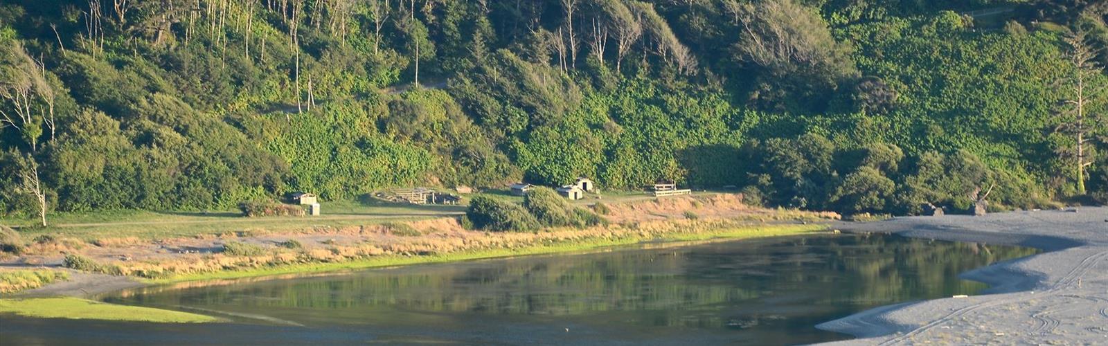
The Klamath River (Karuk: Ishkêesh, Klamath: Koke, Yurok: Hehlkeek 'We-Roy) flows 263 miles (423 km) through Oregon and northern California in the United States, emptying into the Pacific Ocean. By average discharge, the Klamath is the second largest river in California after the Sacramento River. It drains an extensive watershed of almost 16,000 square miles (41,000 km2) that stretches from the arid country of south-central Oregon to the temperate rainforest of the Pacific coast. Unlike most rivers, the Klamath begins in the plains and flows toward the mountains – carving its way through the rugged Cascade Range and Klamath Mountains before reaching the sea. The upper basin once contained vast freshwater marshes that provided habitat for abundant wildlife, including millions of migratory birds; now it is largely agricultural due to European settling, while the mountainous lower basin remains wild. The watershed is known for this peculiar geography, and the Klamath has been called "a river upside down" by National Geographic magazine.
The Klamath is the most important coastal river south of the Columbia River for anadromous fish migration. Its salmon, steelhead and rainbow trout have adapted to unusually high water temperatures and acidity levels relative to other rivers in the Pacific Northwest. The numerous fish were a major source of food for Native Americans, who have inhabited the basin for at least 7,000 years. The first Europeans to enter the Klamath River basin were fur trappers for the Hudson's Bay Company in the 1820s; they established the Siskiyou Trail along the Klamath and Trinity rivers into the Sacramento Valley. Within several decades of white settlement, native peoples were forced into reservations.
During the latter days of the California Gold Rush, increasing numbers of miners began working the Klamath River and its tributaries. Their impact on the surrounding environment was highly detrimental, as well as their impact Native American Klamath Tribes. The greed of the Gold Rush left most tribes with only 10% of the indigenous population. Steamboats operated briefly on the large lakes in the upper basin before they were replaced by railroads in the late 19th century. In the 19th and 20th centuries, the upper basin became a rich agricultural region, and many dams were built to provide irrigation water and hydroelectric power. In the 1960s, the Klamath was targeted as part of a much larger scheme to augment water supplies in central and southern California; however, these works never materialized.
Because the Klamath includes many of the longest free-flowing stretches of river in California, along with excellent whitewater runs, it has become a popular recreational river. However, dams and diversions in the upper basin have caused water quality issues on the lower half of the Klamath. Environmental groups and native tribes have proposed broad changes to water use in the Klamath Basin, principally the removal of some dams on the river to expand fish habitat. They put forth their concerns in what is now the Klamath Basin Restoration Agreement, a water management plan signed by local communities, governments, tribal groups, environmentalists, and fishermen. The proposal has been endorsed by the U.S. Department of the Interior but has not been authorized by the United States Congress.
Free
1 page
The Essential Hiking Checklist
Everything you need for your next hike. Bilingual, printable, 1 page.
Get your free hiking checklistRecommended gear for this trail
As an Amazon Associate I earn from qualifying purchases.
LGPO Pick

Salomon
Elixir Tour Mid WP
Waterproof mid-height boot ideal for rocky terrain
203.38 $


Affiliate links — LGPO may earn a commission at no extra cost to you.
Ready to go?
Everything you need to know before you goWhen?
Opening hours
No information
Weather (next days)
Loading
What to bring?
As an Amazon Associate I earn from qualifying purchases.
Affiliate links — LGPO may earn a commission at no extra cost to you.
General hiking tips, to adapt to your outing.
Gear
- Hiking shoes Essential
- → Salomon Elixir Tour Mid WP · 203.38 $
- Layered clothing Essential
- Rain jacket Essential
- Trekking poles
- → Black Diamond Trail Ergo Cork · 69.99 $
- Headlamp
- → Petzl Actik Core 625 · 103.95 $
Good to know
In an emergency
Emergency
911
GPS coordinates
41.3067, -123.033774
FAQ - Frequently asked questions
Everything you need to know
Didn't find your answer?
Outings near Klamath River
Discover other trails you might enjoy
Scott Mountain, California
Shasta Cascade · 30.0 km away
2081 M
Marble Mountain, California
Shasta Cascade · 32.7 km away
2131 M

Thompsons Peak
Shasta Cascade · 34.0 km away
11.3 KM
4h00
900 m
Advanced
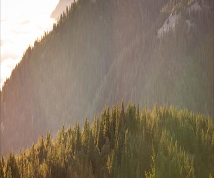
Salmon Mountain, California
Shasta Cascade · 34.4 km away
2120 M
Kangaroo Mountain, California
Shasta Cascade · 69.5 km away
2040 M
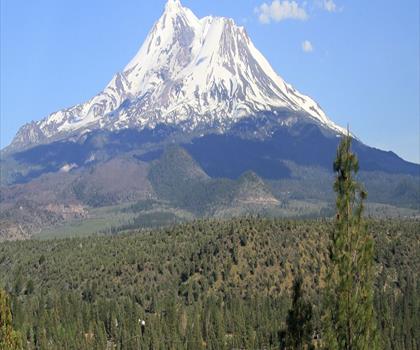
Mount Shasta, California
Shasta Cascade · 71.1 km away
11.3 KM
6h30
1100 M
Expert
Top 10 best hiking in Shasta Cascade
Our ranking based on hiker reviews
Hiking near Victoria
105 trails to explore ~792 km away
Did you spot an error?
We work hard to provide the most up-to-date and error-free data possible. If something seems incorrect, let us know! Your contribution helps the whole community.
Hikers' opinions
Be the first to review!
No hiker has shared their experience yet. Share your impressions and help other hikers!