
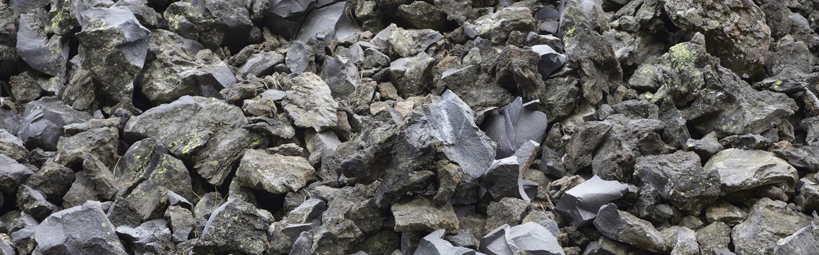
Ready to explore Cinder Cone, California? Here's everything you need to know before you go!
Discover the trail
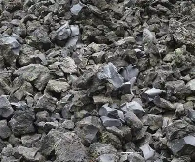
Trail description
Trailhead and Access
The trailhead for Cinder Cone is at Butte Lake, on the eastern side of Lassen Volcanic National Park. This section of the park is less visited than the main Lassen Peak corridor, which means the parking area is generally less crowded — though it can still fill up on summer weekends. The road to Butte Lake is unpaved for part of the route, so check current road conditions before heading out, especially early or late in the season.
Access to Lassen Volcanic National Park requires a park entrance fee. The Butte Lake Campground is nearby if you want to make this an overnight trip, which is worth considering — the area is remote enough that arriving the evening before gives you a real advantage in terms of parking and getting an early start on the trail.
Everything you need for your next hike. Bilingual, printable, 1 page.
Get your free hiking checklistRecommended gear for this trail
As an Amazon Associate I earn from qualifying purchases.


Ready to go?
Everything you need to know before you goWhen?
As an Amazon Associate I earn from qualifying purchases.
Affiliate links — LGPO may earn a commission at no extra cost to you.
- Hiking shoes Essential
- → Salomon Elixir Tour Mid WP · 203.38 $
- Layered clothing Essential
- Rain jacket Essential
- Trekking poles
- → Black Diamond Trail Ergo Cork · 69.99 $
- Headlamp
- → Petzl Actik Core 625 · 103.95 $
FAQ - Frequently asked questions
Everything you need to knowOutings near Cinder Cone, California
Discover other trails you might enjoy
Lassen Volcanic National Park
Shasta Cascade · 10.4 km away
Sulphur Works
Shasta Cascade · 21.3 km away

Bald Mountain, California
Shasta Cascade · 45.2 km away
Butte County High Point, California
Shasta Cascade · 47.5 km away
Round Valley Reservoir
Shasta Cascade · 57.2 km away
Diamond Mountain, California
Shasta Cascade · 59.2 km away
Hiking near Victoria
105 trails to explore ~891 km away
We work hard to provide the most up-to-date and error-free data possible. If something seems incorrect, let us know! Your contribution helps the whole community.
Hikers' opinions
Be the first to review!
No hiker has shared their experience yet. Share your impressions and help other hikers!