


Ready to explore Butte County High Point, California? Here's everything you need to know before you go!
Discover the trail
Oh no! We don't have any photos 😢
This trail hasn't been captured yet. Be the first to share your adventure!Trail description
Butte County High Point is one of those objectives that sits quietly on the radar of California peak baggers — not flashy, not heavily trafficked, but genuinely satisfying for anyone working through the state's county high points. Located in the Shasta Cascade region of Northern California, this summit represents the highest elevation within Butte County, making it a legitimate target for highpointers and explorers who want something a little off the beaten path.
What Kind of Objective Is This?
This is a county highpoint climb, which means the experience is shaped less by a manicured trail system and more by the goal of reaching a specific geographic benchmark. County highpointing is a niche but dedicated pursuit — some peaks on these lists are walk-ups on well-marked paths, others require route-finding through dense brush or technical terrain. Butte County's high point falls into the category of objectives that reward preparation and a willingness to navigate without relying on obvious signage or a packed-dirt trail the whole way.
If you're new to county highpointing, this is a good introduction to what the pursuit actually feels like: purposeful, a bit exploratory, and deeply tied to the landscape of a specific corner of California rather than a famous destination everyone already knows about.
The Terrain and Setting
The Shasta Cascade region is defined by dramatic volcanic geology, dense conifer forests, and a rugged character that sets it apart from the more visited parts of California. Butte County sits at the southern edge of this region, where the terrain transitions and the landscape carries that Northern California mix of oak woodland, mixed conifer, and higher-elevation forest depending on where you are on the slope.
Reaching the high point means moving through terrain that reflects this regional character — expect forest cover, uneven ground, and the kind of quiet that comes with being in a part of the state that doesn't see heavy recreational pressure. The views from the summit area, when you get there, give you a genuine sense of the county's geography spread out around you.
Who This Is For
This objective is best suited for:
- County highpoint collectors working through California's 58 counties — Butte County is a legitimate entry on that list and worth checking off properly.
- Hikers comfortable with route-finding who don't need a well-signed trail from trailhead to summit to feel confident in the field.
- Explorers of Northern California who want to get into the Shasta Cascade region beyond the obvious landmarks and experience the quieter, less-documented corners of the landscape.
- Peak baggers looking to add a county summit to their log with a genuine sense of accomplishment rather than a crowded, over-documented experience.
Practical Considerations Before You Go
Because this is a county highpoint rather than a developed recreational trail, preparation matters more than it would for a standard day hike on a maintained path. A few things worth thinking through before you head out:
- Navigation tools are essential. Bring a detailed topographic map and a GPS device or app loaded with the relevant topo data. Don't rely solely on cell service in this part of Northern California — coverage can be unreliable in remote terrain.
- Research the current access route. Road and trail conditions in the Shasta Cascade region can change with seasons, weather events, and land management decisions. Check current conditions before committing to a specific approach.
- Know whose land you're on. Parts of the Shasta Cascade region involve a mix of national forest, BLM land, and private holdings. Understanding the land status for your specific approach helps you stay on the right side of access rules.
- Footwear and gear. Sturdy hiking boots with good ankle support are the right call for terrain that may involve off-trail travel, loose rock, or dense vegetation depending on your route.
The Highpointing Context
California's county highpoints vary enormously in character — from the towering challenge of Mount Whitney (Tulare County) to gentle hills that barely register as climbs. Butte County's high point sits in the middle of that spectrum in terms of effort and commitment. It's not a technical mountaineering objective, but it's also not a casual stroll. The Shasta Cascade setting gives it a genuine wilderness feel that makes the effort worthwhile beyond just the checkbox.
For anyone building out a California county highpoint list, the Shasta Cascade entries tend to be among the more rewarding simply because the region itself is so compelling — volcanic peaks, river canyons, dense forest, and a scale of landscape that reminds you how large and varied Northern California actually is.
Getting There
The Shasta Cascade region is anchored by Interstate 5 running north through Redding, with Highway 99 serving the valley communities to the south and east. Butte County itself is accessible from the Sacramento Valley, with Chico being the major population center in the county. Your specific approach to the high point will depend on the route you've researched — trailhead access in this part of the state often involves forest roads that may require a high-clearance vehicle depending on conditions.
Plan your drive time accordingly, especially if you're coming from the Bay Area or Sacramento — Northern California distances have a way of being longer than they look on a map, and forest road travel adds time beyond what paved highway mileage suggests.
Leave No Trace
Off-trail and lightly-used terrain like this is particularly sensitive to impact. Stick to durable surfaces where possible, pack out everything you bring in, and be mindful that the low visitor pressure at places like this is part of what makes them worth visiting. Keep it that way for the next person who shows up with a topo map and the same goal.
The Essential Hiking Checklist
Everything you need for your next hike. Bilingual, printable, 1 page.
Get your free hiking checklistRecommended gear for this trail
As an Amazon Associate I earn from qualifying purchases.


Ready to go?
Everything you need to know before you goWhen?
How much?
As an Amazon Associate I earn from qualifying purchases.
Affiliate links — LGPO may earn a commission at no extra cost to you.
- Hiking shoes Essential
- → Salomon Elixir Tour Mid WP · 203.38 $
- Layered clothing Essential
- Rain jacket Essential
- Trekking poles
- → Black Diamond Trail Ergo Cork · 69.99 $
- Headlamp
- → Petzl Actik Core 625 · 103.95 $
FAQ - Frequently asked questions
Everything you need to knowSimilar hikes nearby
Discover other trails you might enjoy

Mount Ingalls, California
Shasta Cascade
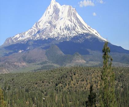
Mount Shasta, California
Shasta Cascade
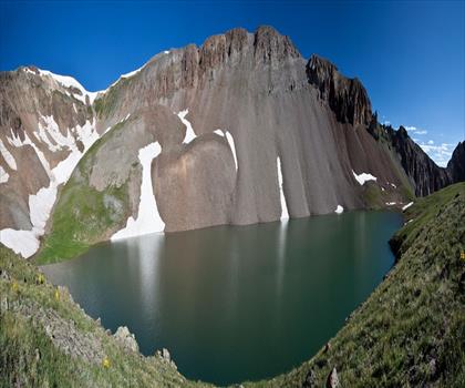
Mule Mountain, California
Shasta Cascade
Round Valley Reservoir
Shasta Cascade
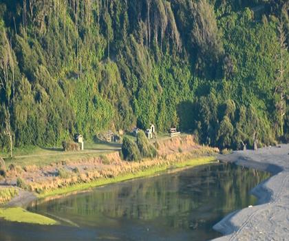
Klamath River
Shasta Cascade
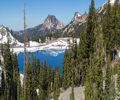
Lassen Volcanic National Park
Shasta Cascade
Hiking near Victoria
93 trails to explore ~936 km away
We work hard to provide the most up-to-date and error-free data possible. If something seems incorrect, let us know! Your contribution helps the whole community.
Hikers' opinions
Be the first to review!
No hiker has shared their experience yet. Share your impressions and help other hikers!