


Ready to explore Diamond Mountain, California? Here's everything you need to know before you go!
Discover the trail
Oh no! We don't have any photos 😢
This trail hasn't been captured yet. Be the first to share your adventure!Trail description
Diamond Mountain is a volcanic peak located in the Shasta-Cascade region of Northern California. Sitting within a landscape shaped by ancient volcanic activity, it offers climbers and hikers a raw, rugged experience that's distinctly different from the polished trail systems found elsewhere in the state. This is the kind of place that rewards people who are comfortable navigating less-developed terrain and want something a little more adventurous than a groomed park trail.
The Terrain
The mountain's volcanic origins define everything about the experience here. Expect loose rock, uneven footing, and open exposed ridgelines as you gain elevation. The landscape is stark and dramatic — open views across the Shasta-Cascade region open up as you climb, with the broader volcanic geography of Northern California visible in multiple directions on a clear day. The terrain demands attention and solid footwear; this isn't a casual stroll.
The approach and climbing route follow the natural contours of the mountain, which means route-finding plays a role in the experience. There are no heavily marked or maintained trail corridors in the traditional sense — this is more of a mountaineering objective than a standard hiking trail, and that distinction matters when you're planning your day.
What to Expect on the Climb
Diamond Mountain is classified as a climbing destination, meaning the upper sections involve more than just walking. Hikers comfortable with scrambling and exposed terrain will find this manageable, but it's not appropriate for beginners or anyone unfamiliar with route-finding on open volcanic slopes. Solid footwear with good ankle support and grip is essential given the rocky, sometimes unstable surface underfoot.
The Shasta-Cascade region is known for its dramatic weather shifts, particularly at elevation. Conditions can change quickly, and the exposed nature of the upper mountain means wind and temperature drops are real factors to account for. Starting early in the day is strongly recommended — both to take advantage of stable morning conditions and to give yourself plenty of time on the mountain without feeling rushed.
The Setting and Views
One of the strongest draws of Diamond Mountain is its position within the broader Shasta-Cascade volcanic landscape. Northern California's volcanic belt is one of the most geologically active regions in the continental United States, and climbing Diamond Mountain puts you directly in the middle of that story. The views from the upper mountain reflect this — open, expansive, and genuinely remote-feeling even by Northern California standards.
The surrounding area is characterized by conifer forests at lower elevations transitioning to open rocky terrain as you gain altitude. Wildlife is present throughout the region, though the exposed upper slopes are less hospitable to most species. The quietness of the area is one of its defining qualities — this is not a heavily trafficked destination, and you're unlikely to encounter crowds.
Practical Information
- Location: Shasta-Cascade region, Northern California
- Type: Climbing / mountaineering objective with hiking approach
- Terrain: Volcanic rock, loose scree, exposed ridgelines
- Skill level: Best suited for experienced hikers and scramblers comfortable with route-finding and exposed terrain
- Footwear: Sturdy hiking boots with solid ankle support and grip are essential
- Timing: Early starts recommended; weather in the Shasta-Cascade region can shift quickly at elevation
Getting There
Diamond Mountain is situated in the Shasta-Cascade region of Northern California. Access details and road conditions in this part of the state can vary seasonally, particularly in late fall and winter when higher elevation roads may be affected by snow and ice. Checking current road and access conditions before heading out is always a good idea for destinations in this region.
Come prepared with a map, adequate water, and layers — the combination of volcanic terrain, elevation, and the remote character of this part of Northern California makes self-sufficiency an important part of any visit to Diamond Mountain.
The Essential Hiking Checklist
Everything you need for your next hike. Bilingual, printable, 1 page.
Get your free hiking checklistRecommended gear for this trail
As an Amazon Associate I earn from qualifying purchases.


Ready to go?
Everything you need to know before you goWhen?
How much?
As an Amazon Associate I earn from qualifying purchases.
Affiliate links — LGPO may earn a commission at no extra cost to you.
- Hiking shoes Essential
- → Salomon Elixir Tour Mid WP · 203.38 $
- Layered clothing Essential
- Rain jacket Essential
- Trekking poles
- → Black Diamond Trail Ergo Cork · 69.99 $
- Headlamp
- → Petzl Actik Core 625 · 103.95 $
FAQ - Frequently asked questions
Everything you need to knowSimilar hikes nearby
Discover other trails you might enjoy

Mount Ingalls, California
Shasta Cascade
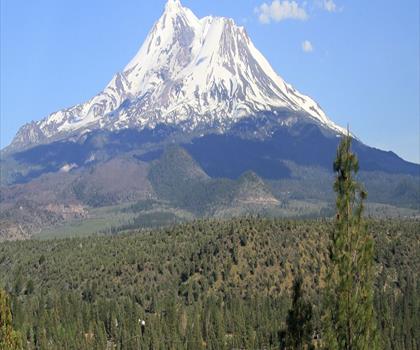
Mount Shasta, California
Shasta Cascade
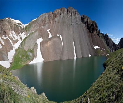
Mule Mountain, California
Shasta Cascade
Round Valley Reservoir
Shasta Cascade
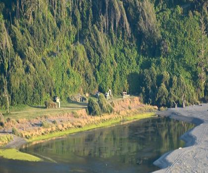
Klamath River
Shasta Cascade
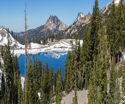
Lassen Volcanic National Park
Shasta Cascade
Hiking near Victoria
93 trails to explore ~926 km away
We work hard to provide the most up-to-date and error-free data possible. If something seems incorrect, let us know! Your contribution helps the whole community.
Hikers' opinions
Be the first to review!
No hiker has shared their experience yet. Share your impressions and help other hikers!