


Ready to explore Guanella Pass Scenic Byway? Here's everything you need to know before you go!
Discover the trail
Oh no! We don't have any photos 😢
This trail hasn't been captured yet. Be the first to share your adventure!Trail description
The Guanella Pass Scenic Byway is one of Colorado's most rewarding mountain drives, cutting through the heart of the Rocky Mountains with sweeping alpine scenery that draws visitors from across the state and beyond. Whether you're behind the wheel, on foot, or on a bike, this corridor offers an accessible gateway into genuine high-country wilderness without requiring a technical background or specialized gear.
The Route and What to Expect
The byway connects the towns of Georgetown and Grant, winding through a dramatic landscape that shifts from dense conifer forest to open tundra as you gain elevation. The road itself is paved for most of its length, making it passable for standard vehicles during the warmer months, though conditions can change quickly and the upper sections demand respect when weather rolls in.
At the summit, Guanella Pass sits well above treeline, offering unobstructed views in every direction. On a clear day, you can see Mount Bierstadt and the Sawatch Range stretching to the west — it's the kind of panorama that makes you stop the car and just stand there for a few minutes. The pass is a popular trailhead for Mount Bierstadt, one of Colorado's 14ers, which draws a steady crowd of peak-baggers throughout the summer season.
Hiking Opportunities Along the Byway
The byway isn't just a drive-through experience. Several trails branch off from pullouts and designated trailheads along the corridor, giving hikers options at different fitness levels. The terrain ranges from gentle valley walks through willow-lined creek bottoms to more demanding routes that push up into rocky alpine zones.
The lower sections near Georgetown pass through mixed forest with good opportunities to spot wildlife, including moose, which are frequently seen in the marshy areas along South Clear Creek. Higher up, the landscape opens into classic tundra — low-growing plants, scattered boulders, and the kind of wide-open sky that feels different from anything you'd find at lower elevations.
Trails in this corridor tend to be well-marked and see enough traffic that you're unlikely to feel isolated, but the upper alpine sections can still feel genuinely remote, especially if you head out early in the morning before the crowds arrive at the Bierstadt trailhead.
Wildlife and Natural Environment
The Guanella Pass area sits within the Pike and Arapaho National Forests, and the diversity of habitat along the byway supports a wide range of wildlife. Moose sightings are common enough that there are dedicated viewing areas in the lower valley — this is one of the more reliable spots in Colorado to see them. Mule deer, elk, and marmots are also regularly spotted throughout the corridor.
Birdwatchers will find plenty to look for as well. The transition zones between forest and tundra are particularly productive, and the open alpine areas near the pass are good habitat for ptarmigan and rosy-finches during the right seasons.
The wildflower display in midsummer is genuinely impressive, particularly in the meadows and along the creek drainages. Columbine, paintbrush, and a variety of other alpine species put on a show that peaks roughly in July, though timing varies year to year depending on snowpack and temperatures.
Practical Information
Access to the byway is straightforward from both ends. Georgetown is easily reached from Interstate 70, making the northern approach a natural starting point for visitors coming from Denver or the Front Range. The Grant end connects to US Highway 285, which is the logical entry point if you're coming from the south.
Parking at the Guanella Pass summit and at the Mount Bierstadt trailhead fills up fast on summer weekends — arriving early is strongly recommended if you want a spot. Weekday visits are noticeably quieter and give you a more relaxed experience at the trailheads and pullouts.
The road is typically open from late spring through fall, but the exact timing depends on snowpack each year. The upper section near the pass can see snow well into June and again as early as September. Always check current road conditions before heading out, especially if you're planning to drive the full length of the byway.
- Access: Northern trailhead via Georgetown off Interstate 70; southern access via Grant on US Highway 285
- Road surface: Paved for most of the route; conditions vary seasonally
- Wildlife highlights: Moose, mule deer, elk, marmots, ptarmigan
- Managed by: Pike and Arapaho National Forests
- Peak wildflower season: Typically mid-July
- Crowds: Heaviest on summer weekends, especially at the Bierstadt trailhead
Tips for Your Visit
If you're planning to hike rather than just drive, give yourself more time than you think you'll need. The altitude affects people differently, and even a moderate trail at this elevation can feel harder than expected if you're coming from sea level or the plains. Take it slow on the first day, drink plenty of water, and pay attention to how you're feeling.
Afternoon thunderstorms are a real concern in the Colorado mountains, particularly in July and August. The standard advice applies here: aim to be off exposed ridges and above treeline by early afternoon. The summit of Guanella Pass is fully exposed, so if you see clouds building to the west, start heading down.
Dogs are generally welcome on the trails in the national forest, but keep them leashed in areas with wildlife activity — particularly near the moose viewing areas in the lower valley, where encounters can happen quickly and moose can be unpredictable.
The byway is also a popular fall destination when the aspen groves in the lower sections turn gold, typically in late September. It's worth timing a visit around that window if you can — the combination of fall color in the valley and snow-dusted peaks above makes for a striking contrast that's hard to find anywhere else in the region.
The Essential Hiking Checklist
Everything you need for your next hike. Bilingual, printable, 1 page.
Get your free hiking checklistRecommended gear for this trail
As an Amazon Associate I earn from qualifying purchases.


Ready to go?
Everything you need to know before you goWhen?
How much?
As an Amazon Associate I earn from qualifying purchases.
Affiliate links — LGPO may earn a commission at no extra cost to you.
- Hiking shoes Essential
- → Salomon Elixir Tour Mid WP · 203.38 $
- Layered clothing Essential
- Rain jacket Essential
- Trekking poles
- → Black Diamond Trail Ergo Cork · 69.99 $
- Headlamp
- → Petzl Actik Core 625 · 103.95 $
FAQ - Frequently asked questions
Everything you need to knowSimilar hikes nearby
Discover other trails you might enjoy

Saint Vrain Mountain, Colorado
Denver and Cities of the Rockies
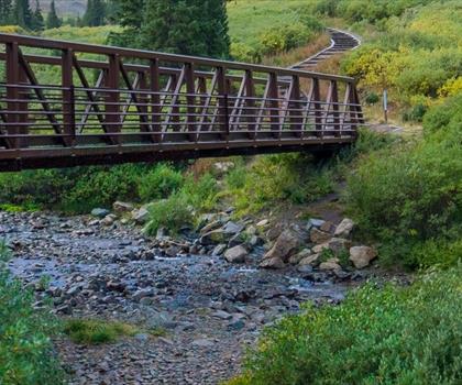
Grays Peak, Colorado
Denver and Cities of the Rockies

Fern Lake Trail
Denver and Cities of the Rockies
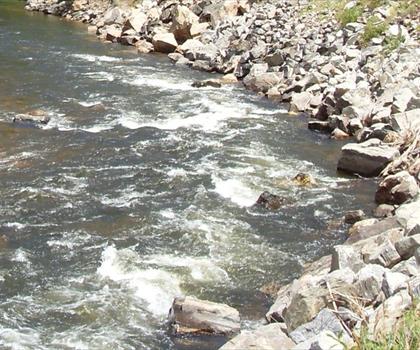
Cache La Poudre River
Denver and Cities of the Rockies
Mount Evans Scenic Byway
Denver and Cities of the Rockies
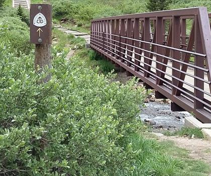
Grays Peak Trail
Denver and Cities of the Rockies
Hiking near Regina
4 trails to explore ~1197 km away
We work hard to provide the most up-to-date and error-free data possible. If something seems incorrect, let us know! Your contribution helps the whole community.
Hikers' opinions
Be the first to review!
No hiker has shared their experience yet. Share your impressions and help other hikers!