
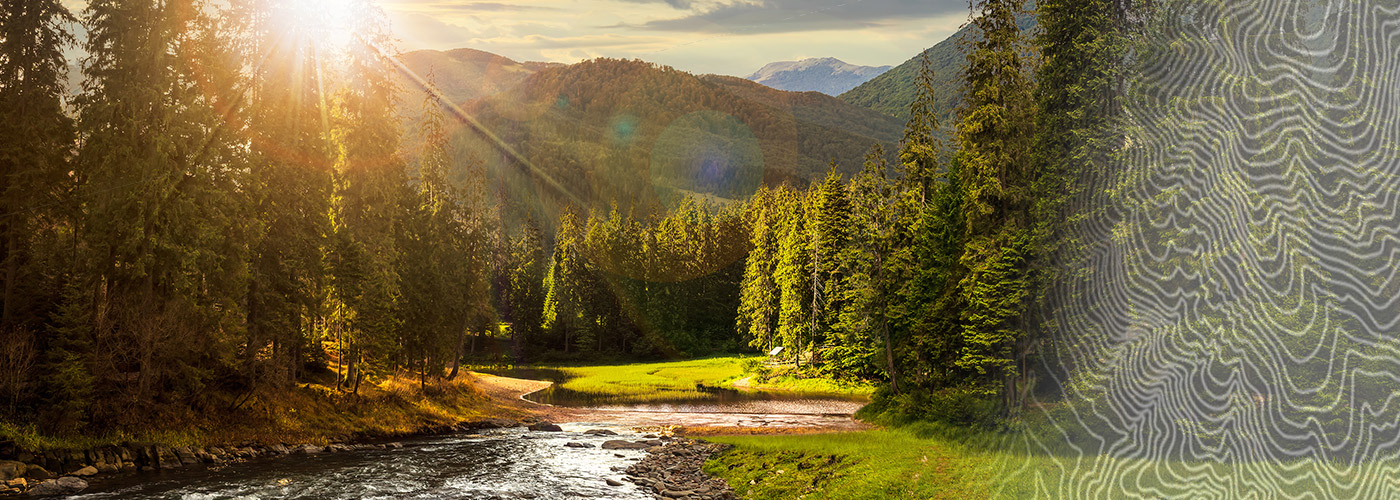

Ready to explore Mount Evans Scenic Byway? Here's everything you need to know before you go!
Discover the trail
Oh no! We don't have any photos 😢
This trail hasn't been captured yet. Be the first to share your adventure!Trail description
The Mount Evans Scenic Byway is one of the most remarkable drives in the American West — a paved road that climbs higher than almost any other in the country, cutting through alpine tundra, past glacial lakes, and into terrain that most people only see from airplane windows. Whether you're driving the full route, stopping to stretch your legs at a trailhead, or simply pulling over to take in the views, this byway delivers an experience that's genuinely hard to match in Colorado.
What Makes This Byway Stand Out
Most scenic drives reward you with pretty views from a comfortable distance. The Mount Evans Scenic Byway does something different — it puts you inside the landscape. As you gain elevation, the forest thins, the air gets noticeably thinner, and the world opens up into a vast, windswept plateau that feels more like the Arctic than the Rockies. The transition from dense conifer forest to open subalpine meadow to bare tundra happens fast, and it's one of those experiences that genuinely shifts your sense of scale.
The byway is part of Colorado State Highway 5, and it's widely recognized as one of the highest paved roads in North America. That distinction isn't just a trivia point — it shapes everything about the experience, from the wildlife you might encounter to the weather you need to prepare for.
The Terrain Along the Route
The drive passes through several distinct ecological zones, each with its own character. Lower sections move through montane forest, where you'll find stands of aspen, ponderosa pine, and Douglas fir. As you climb, the trees shift to Engelmann spruce and subalpine fir, growing shorter and more gnarled as the altitude increases. Above treeline, the landscape opens into alpine tundra — a fragile, low-growing ecosystem that takes decades to recover from a single footstep off the trail.
Several lakes sit along or near the route, including Summit Lake, which sits in a glacially carved cirque and is one of the more striking stops on the drive. The lake's setting — surrounded by rocky ridgelines with the summit of Mount Evans looming above — makes it a natural place to stop, breathe (slowly, given the altitude), and take stock of how far you've climbed.
Wildlife You Might Actually See
This area is genuinely good for wildlife viewing, and not in a vague, hopeful way. Mountain goats are a regular presence on the upper sections of the byway — they're often spotted near the road, seemingly unbothered by passing vehicles. Bighorn sheep are also common in the area. Marmots and pikas are easy to spot among the talus fields above treeline, and if you're paying attention, you'll hear the pikas' sharp calls before you see them.
Bird life includes white-tailed ptarmigan, which are well camouflaged against the rocky tundra, and brown-capped rosy-finches, which are found almost exclusively at high elevations in the Rockies. Raptors, including golden eagles, are sometimes seen riding thermals above the ridgelines.
Stopping Points and Short Walks
The byway isn't just a drive-through experience. There are several places to get out of the car and explore on foot, ranging from short walks to more committed hikes. Summit Lake is one of the most accessible stops, with a short trail around the lake that gives you a real feel for the alpine environment without requiring a major time commitment.
For those who want to push further, trails from the upper sections of the byway connect to the broader network of routes on and around Mount Evans itself. The summit area offers panoramic views that extend across a huge swath of the Rockies on clear days. Keep in mind that conditions at this elevation can change quickly — afternoon thunderstorms are common in summer, and the exposed terrain offers no shelter.
Practical Things to Know Before You Go
The byway is seasonal. The upper sections typically close in fall and don't reopen until late spring or early summer, depending on snowpack and road conditions. Checking current road status before heading out is essential — the Colorado Department of Transportation and the relevant land management agencies post updates, and conditions can shift quickly even within the open season.
There is an entrance fee to access the upper portion of the byway, as it passes through a fee area managed by the U.S. Forest Service. America the Beautiful passes are accepted. If you're planning to visit multiple public lands in the area, the annual pass is worth considering.
- Altitude awareness: The upper sections of the byway sit well above 14,000 feet. If you're coming from lower elevations, give yourself time to acclimatize before attempting any strenuous activity. Symptoms of altitude sickness — headache, nausea, dizziness — are real at this elevation, even for fit individuals.
- Weather: Afternoon thunderstorms are a consistent summer pattern. Plan to be at the highest points in the morning and descend before early afternoon.
- Stay on designated paths: The alpine tundra is extremely fragile. Stepping off trail causes damage that takes generations to repair. This isn't a guideline — it's a genuine conservation issue in heavily visited alpine areas.
- Fuel and supplies: There are no services on the upper byway. Fill your tank and bring water, food, and layers before you start the climb.
- Pets: Dogs are generally allowed but must be kept on leash. Given the wildlife presence and the fragility of the tundra ecosystem, keeping dogs under control is especially important here.
Getting There
The Mount Evans Scenic Byway begins in Idaho Springs, Colorado, which is accessible from Interstate 70. From Idaho Springs, Highway 103 connects to Highway 5, which is the byway itself. The route is well-signed and straightforward to navigate, though the road is narrow and winding in sections — take your time, use pullouts to let faster traffic pass, and keep your eyes on the road rather than the views when you're behind the wheel.
Parking at Summit Lake and other stopping points along the route can fill up quickly on summer weekends, so arriving early in the morning gives you the best chance of finding a spot and enjoying the upper sections before the afternoon crowds and weather roll in.
The Essential Hiking Checklist
Everything you need for your next hike. Bilingual, printable, 1 page.
Get your free hiking checklistRecommended gear for this trail
As an Amazon Associate I earn from qualifying purchases.


Ready to go?
Everything you need to know before you goWhen?
How much?
As an Amazon Associate I earn from qualifying purchases.
Affiliate links — LGPO may earn a commission at no extra cost to you.
- Hiking shoes Essential
- → Salomon Elixir Tour Mid WP · 203.38 $
- Layered clothing Essential
- Rain jacket Essential
- Trekking poles
- → Black Diamond Trail Ergo Cork · 69.99 $
- Headlamp
- → Petzl Actik Core 625 · 103.95 $
FAQ - Frequently asked questions
Everything you need to knowSimilar hikes nearby
Discover other trails you might enjoy
Saint Vrain Mountain, Colorado
Denver and Cities of the Rockies
Grays Peak, Colorado
Denver and Cities of the Rockies

Fern Lake Trail
Denver and Cities of the Rockies
Cache La Poudre River
Denver and Cities of the Rockies
Guanella Pass Scenic Byway
Denver and Cities of the Rockies
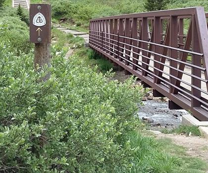
Grays Peak Trail
Denver and Cities of the Rockies
Hiking near Sydney
22 trails to explore ~7619 km away
We work hard to provide the most up-to-date and error-free data possible. If something seems incorrect, let us know! Your contribution helps the whole community.
Hikers' opinions
Be the first to review!
No hiker has shared their experience yet. Share your impressions and help other hikers!