
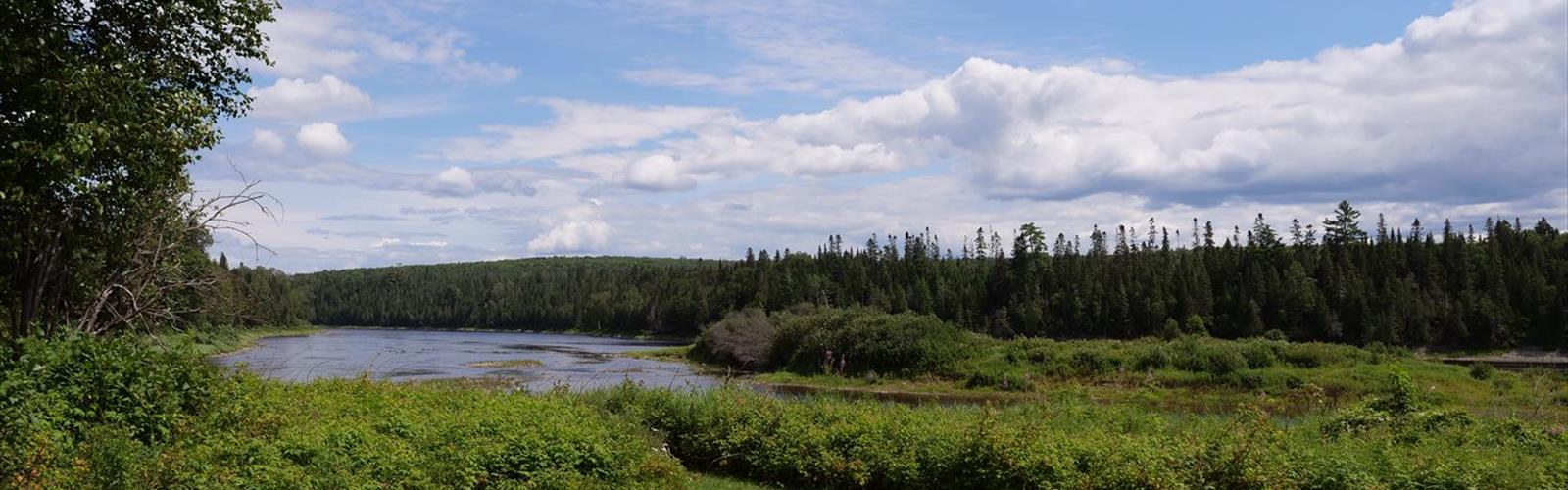
Ready to explore Aroostook River? Here's everything you need to know before you go!
Discover the trail
Trail description
The Broader Aroostook County Context
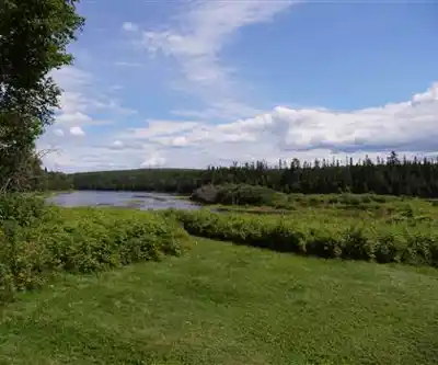
Aroostook County is the largest county in Maine by land area, and it has a character that's entirely its own. The landscape here is shaped by agriculture, forestry, and a deep connection to the land that you feel pretty quickly once you're out of the car. The Aroostook River is central to that identity — it's been a working river for a long time, and the communities along its banks have histories tied directly to the water.
That history adds a layer to any visit here. You're not just walking through a pretty natural area — you're moving through a landscape that has been lived in and worked for generations. Old bridges, riverside towns, and the occasional remnant of earlier industry are part of the scenery in a way that feels honest rather than curated.
Everything you need for your next hike. Bilingual, printable, 1 page.
Get your free hiking checklistRecommended gear for this trail
As an Amazon Associate I earn from qualifying purchases.


Ready to go?
Everything you need to know before you goWhen?
As an Amazon Associate I earn from qualifying purchases.
Affiliate links — LGPO may earn a commission at no extra cost to you.
- Hiking shoes Essential
- → Salomon Elixir Tour Mid WP · 203.38 $
- Layered clothing Essential
- Rain jacket Essential
- Trekking poles
- → Black Diamond Trail Ergo Cork · 69.99 $
- Headlamp
- → Petzl Actik Core 625 · 103.95 $
FAQ - Frequently asked questions
Everything you need to knowOutings near Aroostook River
Discover other trails you might enjoy

Number Nine Mountain, Maine
Aroostook County · 32.0 km away

Mars Hill, Maine
Aroostook County · 39.8 km away
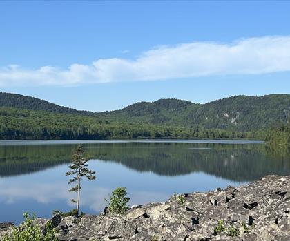
Deboullie Public Reserved Land
Aroostook County · 57.1 km away

Mount Chase, Maine
Maine Highlands · 59.6 km away
Mt Chase
Maine Highlands · 59.7 km away
Mount Pleasant
Upper Saint John River Valley · 68.3 km away
Hiking near Fredericton
11 trails to explore ~148 km away
We work hard to provide the most up-to-date and error-free data possible. If something seems incorrect, let us know! Your contribution helps the whole community.
Hikers' opinions
Be the first to review!
No hiker has shared their experience yet. Share your impressions and help other hikers!