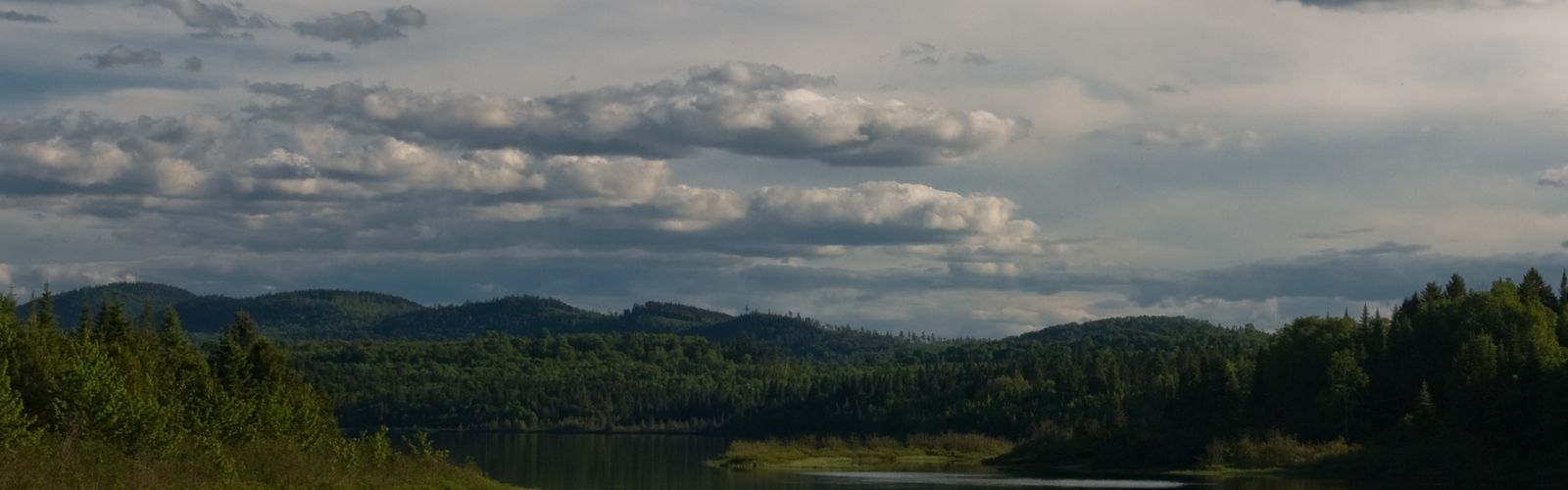
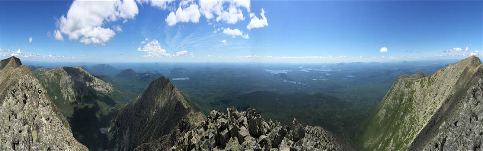
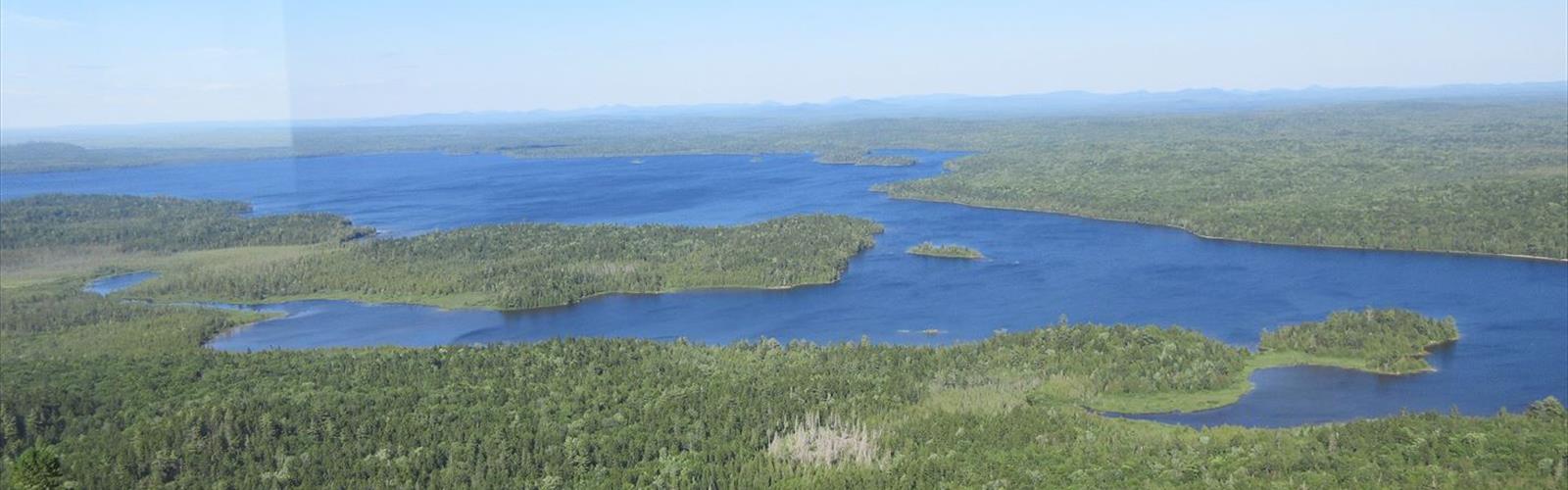
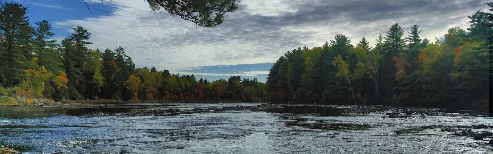
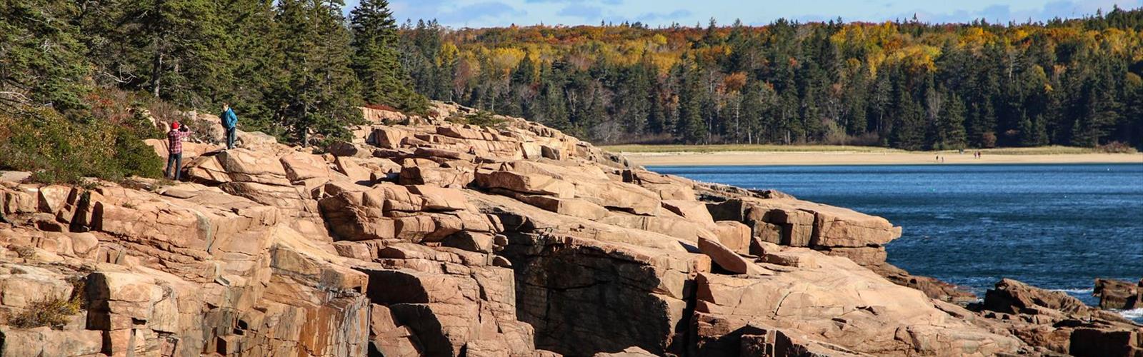
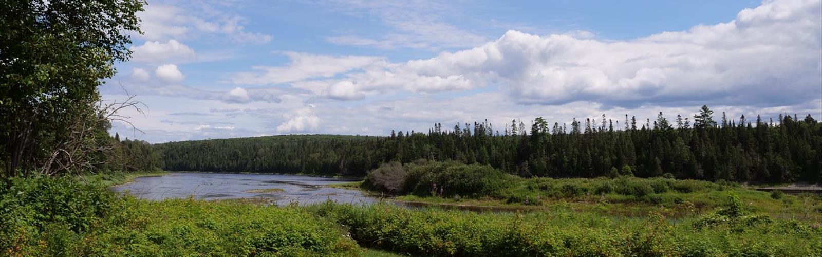
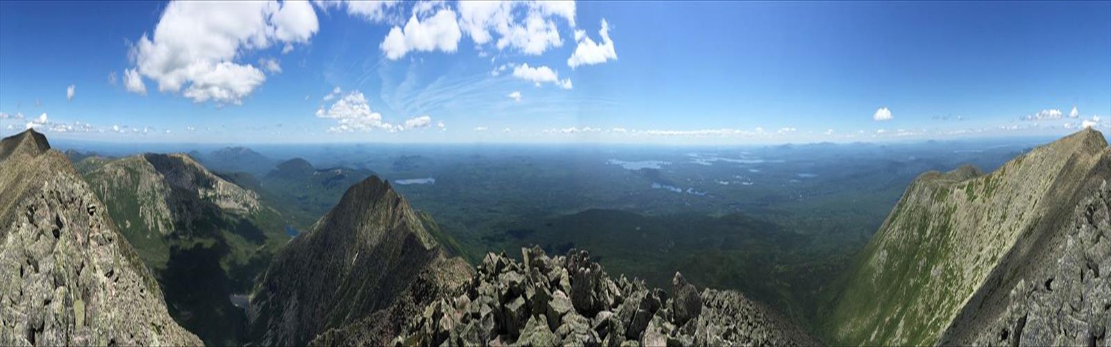
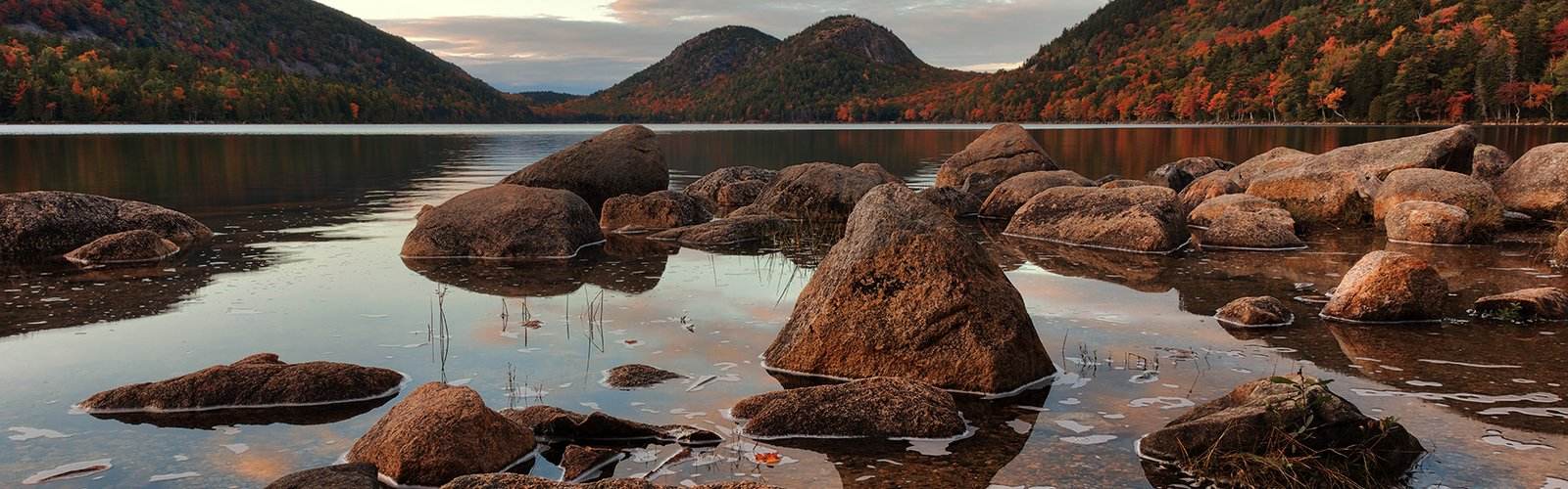
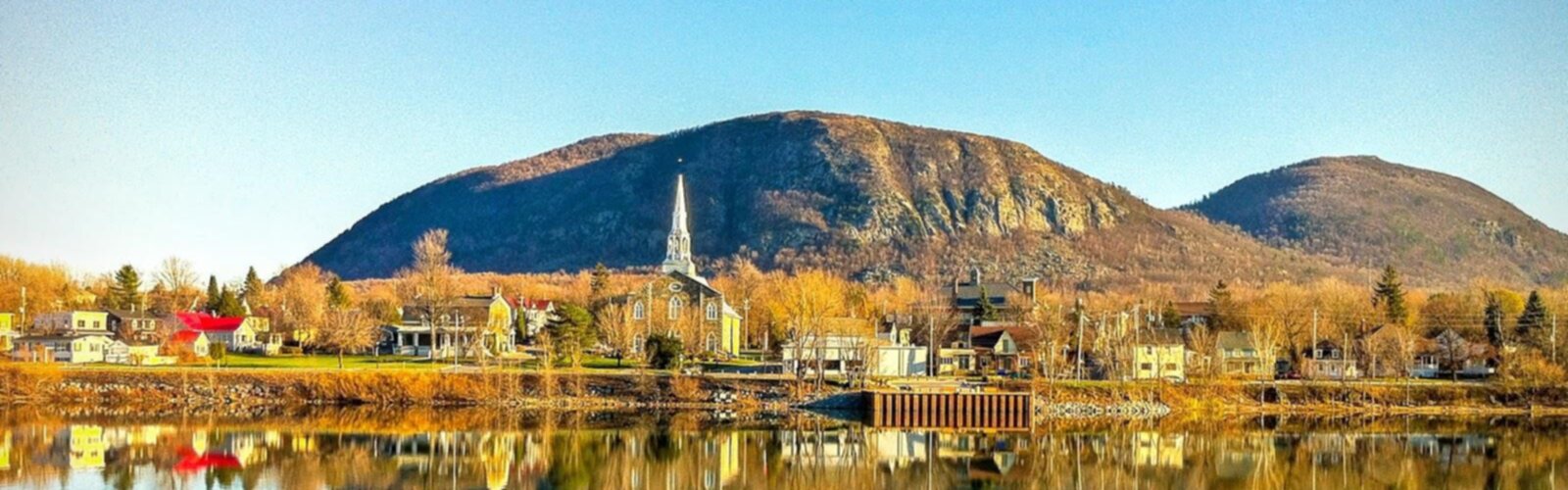
Nestled in the northernmost reaches of Maine, Aroostook County offers outdoor enthusiasts a pristine wilderness experience unlike anywhere else in New England. This vast region, known as "The County" to locals, combines rugged natural beauty with endless opportunities for adventure across its expansive forests, rolling hills, and pristine waterways.
Why Hike in Aroostook County
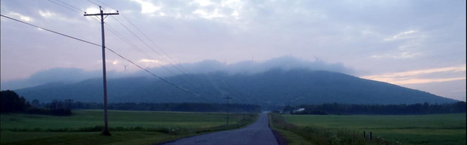
Aroostook County hiking trails showcase Maine's most untouched landscapes, where dense boreal forests stretch to the horizon and wildlife roams freely. The region's unique geography features a mix of gentle agricultural valleys, ancient mountain ranges, and countless lakes and streams that create diverse ecosystems perfect for exploration. Hikers can experience true solitude here, with many trails offering miles of wilderness without encountering another soul. The area's proximity to the Canadian border adds an international flavor to the adventure, while the famous potato fields create a distinctive agricultural backdrop rarely seen in other hiking destinations.
Must-Visit Trails and Natural Areas
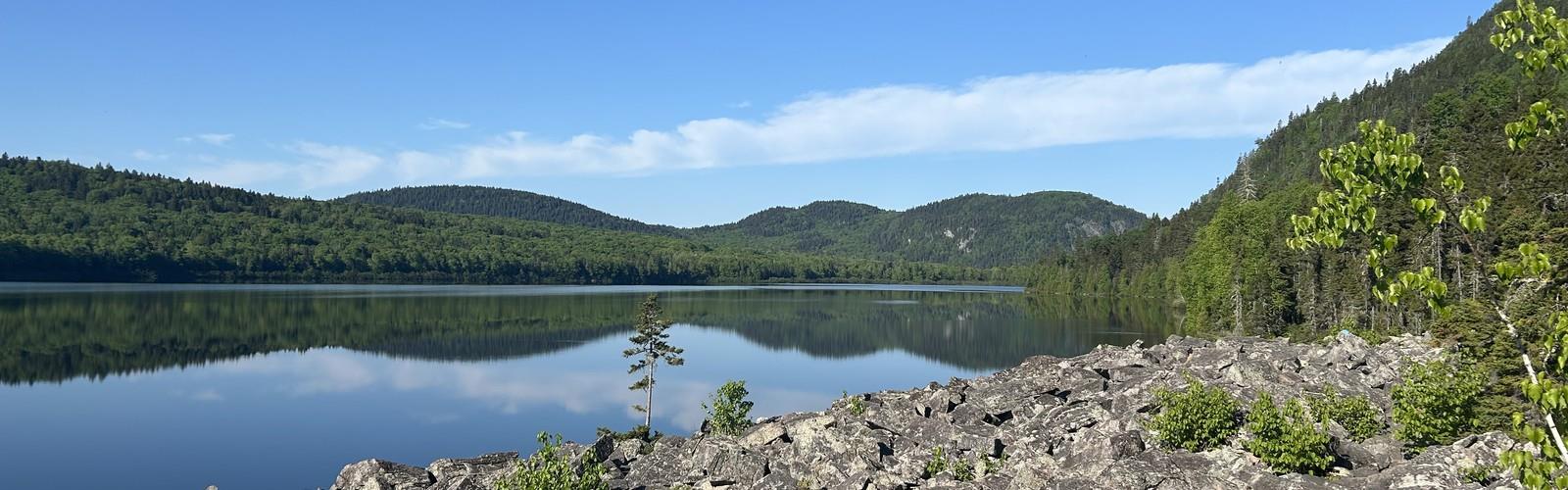
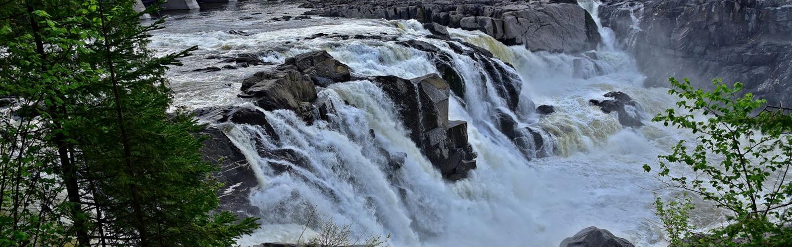
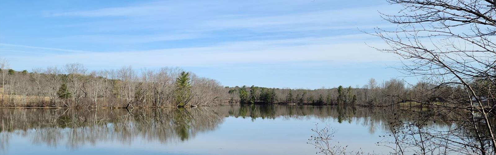
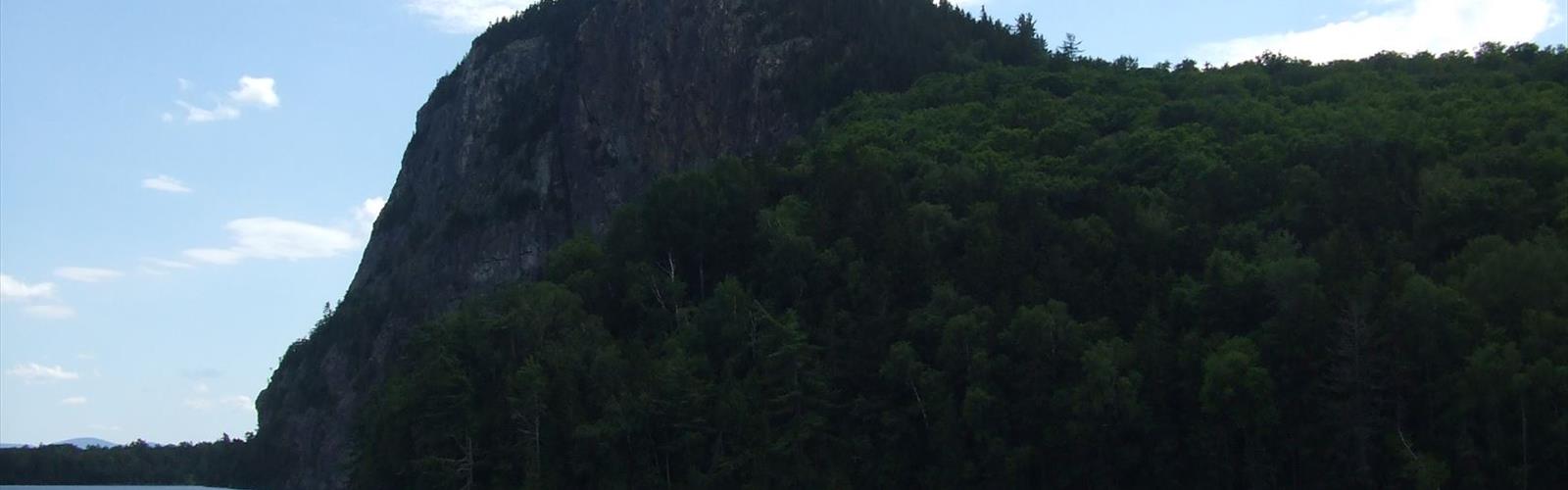
The crown jewel of Aroostook County hiking is Aroostook State Park, Maine's first state park, featuring trails around pristine Echo Lake with opportunities for both leisurely walks and challenging climbs up Quaggy Joe Mountain. Deboullie Public Reserved Land offers remote backcountry experiences with multiple ponds and rugged terrain perfect for multi-day adventures. For those seeking panoramic views, the trails leading to various fire towers throughout the county provide spectacular vistas of the endless forest canopy. The Fish River Falls area combines hiking with stunning waterfall views, while the numerous trails through working forests offer glimpses into Maine's timber industry alongside natural beauty.
Trail Difficulty Options
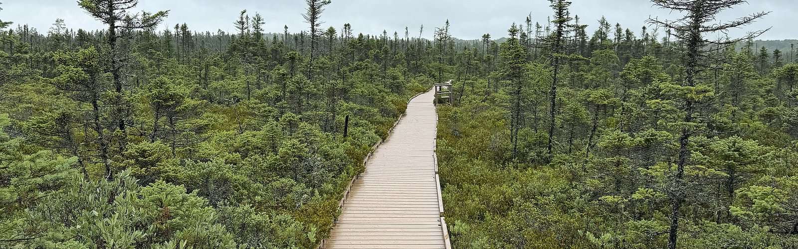
Aroostook County accommodates hikers of all skill levels with its diverse trail network. Beginners can enjoy flat, well-maintained paths around state park areas and along former railroad beds that have been converted to recreational trails. Intermediate hikers will find rolling terrain with moderate elevation gains through mixed forests and alongside scenic waterways. Advanced adventurers can tackle challenging backcountry routes with significant elevation changes, river crossings, and navigation through remote wilderness areas where trail markings may be minimal.
Beyond Hiking Adventures
The region's outdoor recreation extends far beyond hiking trails. Canoeing and kayaking opportunities abound on the Allagash Wilderness Waterway and countless pristine lakes. Fishing enthusiasts can cast lines in some of Maine's most productive waters for brook trout, landlocked salmon, and northern pike. Winter transforms the landscape into a snowshoeing and cross-country skiing paradise, while wildlife watching remains excellent year-round with opportunities to spot moose, black bears, and numerous bird species including bald eagles.
Planning Your Visit
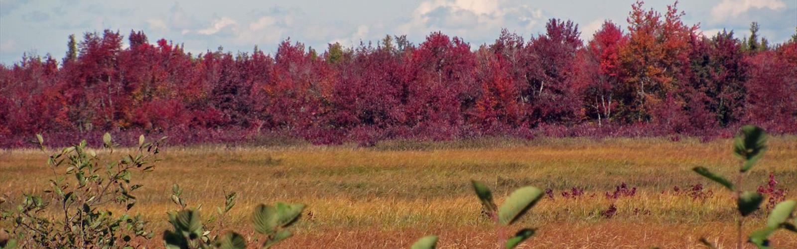
The optimal hiking season runs from late May through October, with peak foliage typically occurring in late September. Summer offers warm days perfect for combining hiking with swimming in pristine lakes. Essential gear includes sturdy hiking boots, insect repellent during summer months, and layers for rapidly changing weather conditions. Many trailheads are accessible via logging roads, so a vehicle with good clearance is recommended. Always inform others of your hiking plans, as cell service can be spotty in remote areas of this vast wilderness region.