

Ready to explore Allagash River? Here's everything you need to know before you go!
Discover the trail
Trail description
The Allagash River is one of the most iconic wilderness waterways in the northeastern United States, cutting through the remote forests of Maine's Highlands region. Whether you're paddling its length or exploring its banks on foot, this is a place that rewards those willing to venture deep into true backcountry. The river runs through the Allagash Wilderness Waterway, a protected corridor managed by the Maine Bureau of Parks and Lands, and it has carried travelers — from Indigenous peoples to fur traders to modern adventurers — for centuries.
This isn't a groomed trail with trailhead kiosks and paved parking lots. The Allagash River experience is raw, expansive, and demands a certain level of self-sufficiency. That's exactly what draws people here.
The Landscape
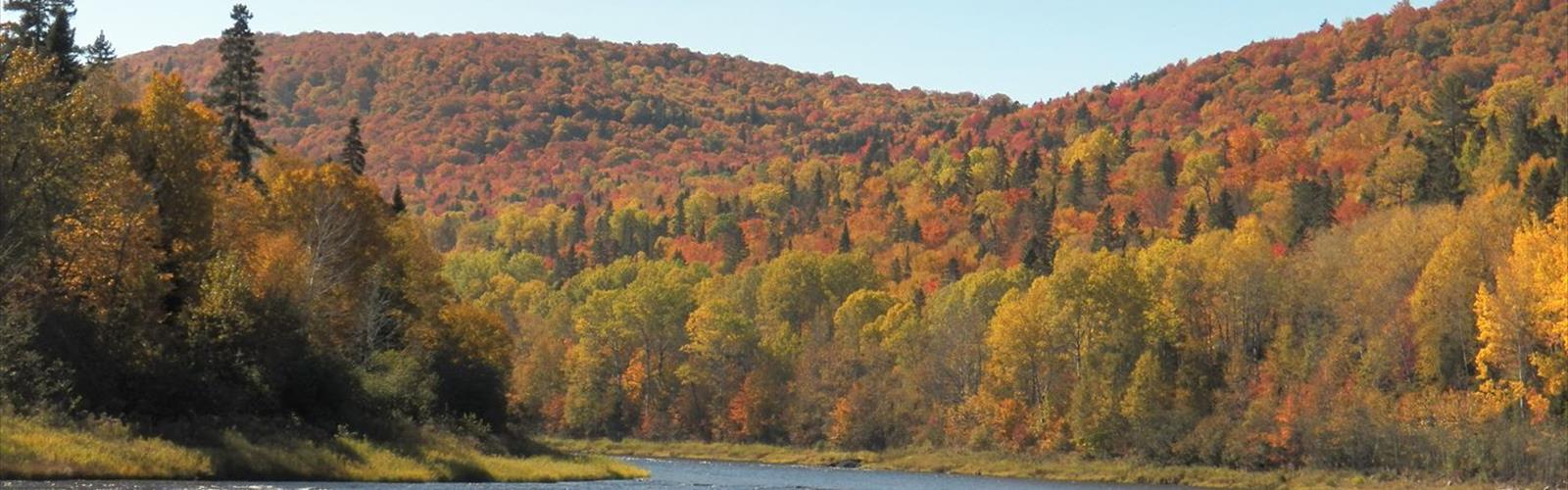
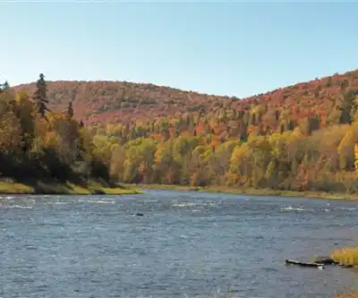
The Allagash flows northward through a vast stretch of Maine's North Woods — a landscape defined by boreal forest, wetlands, lakes, and the kind of quiet that's genuinely hard to find anywhere close to a major city. The surrounding terrain is largely flat to gently rolling, shaped by glacial activity that left behind a mosaic of lakes, bogs, and river channels. Spruce, fir, and northern hardwoods dominate the forest canopy, with alder thickets crowding the riverbanks in many stretches.
The river itself moves through a series of distinct sections — calm flatwater lakes, moderate current, and a handful of more technical whitewater passages. Chase Rapids is one of the most well-known stretches, where the river picks up speed and demands attention. For those exploring on foot along the banks, the terrain shifts between open gravel bars, dense riparian brush, and forested uplands.
Wildlife
The Allagash corridor is exceptional for wildlife. Moose are a regular presence along the river — early morning and evening are the best times to spot them wading in the shallows or feeding in boggy areas near the banks. Black bear, white-tailed deer, and beaver are also common throughout the waterway. Bald eagles nest in the area and are frequently seen soaring over the river or perched in tall riverside trees.
For birders, the boreal forest surrounding the Allagash holds species that are difficult to find further south — including common loons, which nest on the lakes along the route and fill the evenings with their unmistakable calls.
Access and Logistics
Getting to the Allagash River requires some planning. The waterway is located in a remote part of northern Maine, and access points are reached via private logging roads that typically require a fee to use. These roads are managed by timber companies and conditions can vary — a high-clearance vehicle is strongly recommended, and it's worth checking road conditions before heading out.
The primary entry points for the Allagash Wilderness Waterway include Telos Landing and Chamberlain Lake at the southern end, with the northern terminus near the town of Allagash where the river meets the St. John River. There are designated campsites spaced along the waterway, managed by the Maine Bureau of Parks and Lands, and a permit system is in place for overnight use during the peak season.
Day visitors exploring the river corridor should be aware that services are minimal to nonexistent once you're in the backcountry. Fuel up, pack out your trash, and bring more water treatment capacity than you think you'll need.
Camping Along the River
The Allagash Wilderness Waterway has a well-established network of designated campsites along its length. These sites are maintained by the state and range from simple clearings with a fire ring to sites with pit toilets and tent platforms. Camping outside of designated sites is not permitted within the waterway corridor, which helps protect the riparian ecosystem and keeps the experience consistent for everyone traveling through.
A camping fee applies for overnight stays, and during the busy summer season, registering with a ranger at one of the staffed checkpoints is required. Rangers are stationed at key points along the waterway and are a solid resource for current conditions, water levels, and any hazards on the route.
Seasons and Conditions
The Allagash is most accessible from late May through early October. Spring runoff can make water levels high and currents fast — experienced paddlers sometimes prefer this window, but it adds complexity. Midsummer brings warmer temperatures and longer days, making it the most popular time on the water. Fall is stunning, with the boreal and hardwood forest shifting to deep reds and oranges, and the crowds thin out considerably after Labor Day.
Winter access is extremely limited and conditions are severe. The logging roads that provide access are often closed or impassable, and the remote location makes any winter travel a serious undertaking reserved for experienced backcountry travelers.
Black flies and mosquitoes are a real factor from late May through July. Bug protection — including a head net — is not optional if you're spending time near the water during this period.
What Makes This Place Stand Out
The Allagash River was designated as the first National Wild and Scenic River in the United States in 1970, a recognition of its exceptional natural character and the importance of keeping it free-flowing and undeveloped. That designation carries real weight — it means the corridor has been actively protected for decades, and the experience of traveling through it reflects that commitment.
What you get here is genuine wilderness. There are no roads running alongside the river, no cell service, and no quick exit if conditions change. The distance from the nearest town, the scale of the forest, and the silence of the North Woods combine to create an experience that's increasingly rare in the eastern United States. For hikers and paddlers willing to put in the logistical effort to get here, the Allagash delivers something that's hard to replicate anywhere else in Maine — or the region.
- Managed by: Maine Bureau of Parks and Lands
- Designated: National Wild and Scenic River (1970)
- Access: Via private logging roads (fee required)
- Camping: Designated sites only; overnight fee applies
- Peak season: Late May through early October
- Dogs: Permitted; keep under control in wildlife areas
The Essential Hiking Checklist
Everything you need for your next hike. Bilingual, printable, 1 page.
Get your free hiking checklistRecommended gear for this trail
As an Amazon Associate I earn from qualifying purchases.


Ready to go?
Everything you need to know before you goWhen?
How much?
As an Amazon Associate I earn from qualifying purchases.
Affiliate links — LGPO may earn a commission at no extra cost to you.
- Hiking shoes Essential
- → Salomon Elixir Tour Mid WP · 203.38 $
- Layered clothing Essential
- Rain jacket Essential
- Trekking poles
- → Black Diamond Trail Ergo Cork · 69.99 $
- Headlamp
- → Petzl Actik Core 625 · 103.95 $
FAQ - Frequently asked questions
Everything you need to knowSimilar hikes nearby
Discover other trails you might enjoy
Chimney Peak, Maine
Maine Highlands
Katahdin
Maine Highlands

Little Spencer Mountain
Maine Highlands
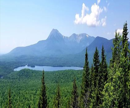
barnard mountain
Maine Highlands
Pleasant Pond Mountain
Maine Highlands
Katahdin Lake
Maine Highlands
Hiking near Bangor
0 trails to explore ~95 km away
We work hard to provide the most up-to-date and error-free data possible. If something seems incorrect, let us know! Your contribution helps the whole community.
Hikers' opinions
Be the first to review!
No hiker has shared their experience yet. Share your impressions and help other hikers!