


Ready to explore Kootenai River? Here's everything you need to know before you go!
Discover the trail
Oh no! We don't have any photos 😢
This trail hasn't been captured yet. Be the first to share your adventure!Trail description
The Kootenai River corridor in Montana offers one of the most scenic and accessible riverside experiences in the northwestern corner of the state. Whether you're looking for a casual walk along the water or a longer stretch through dense forest and open floodplain, this area delivers a genuine sense of wild Montana without demanding technical skills or serious elevation gain.
The River and the Landscape
The Kootenai River is one of Montana's major waterways, flowing west out of the Rocky Mountains before crossing into Idaho. The stretch accessible from this trailhead puts you right alongside the river, where the water runs clear and cold year-round. The surrounding terrain is a mix of riparian forest — cottonwoods, alders, and willows crowding the banks — and the drier conifer forest typical of this part of the state, with Douglas fir and ponderosa pine moving up the slopes away from the water.
What makes this corridor stand out is the contrast between the river's energy and the quiet of the surrounding forest. The Kootenai moves fast in places, especially during spring runoff, and the sound of the current is a constant companion on the trail. In calmer stretches, the water opens up and you get long views across to the far bank and the forested hills beyond.
What to Expect on the Trail
The trail follows the river closely for much of its length, keeping you near the water rather than pulling you up into the hills. The terrain underfoot is generally flat to gently rolling, making this a good option for hikers of most fitness levels. The path is well-defined and easy to follow, though some sections can be muddy after rain or during the spring melt — waterproof footwear is a smart call if you're visiting outside of the dry summer months.
The forest canopy provides good shade along most of the route, which matters on warm summer days when the sun hits hard in this part of Montana. You'll move in and out of open areas near the riverbank, where the views open up and the breeze off the water keeps things comfortable.
Wildlife and Nature
The Kootenai River corridor is genuinely good wildlife habitat. The riparian zone along the river attracts a wide range of birds — expect to see osprey hunting over the water, great blue herons standing motionless in the shallows, and a variety of songbirds moving through the willows and alders. Bald eagles are a real possibility, particularly in the cooler months when they follow the fish.
Larger mammals use this corridor too. White-tailed deer are common, and black bear are present in the area — standard bear country awareness applies. Keep an eye on the riverbanks for signs of beaver activity, which is often visible in the form of chewed stumps and dammed side channels.
The river itself supports healthy populations of native fish, including westslope cutthroat trout and bull trout. If you're a fly fisher, the Kootenai has a strong reputation in Montana angling circles, and you'll likely see other anglers working the water during your hike.
Best Times to Visit
Late spring through early fall is the prime window for hiking the Kootenai River trail. Summer brings long days, dry trails, and the full green of the riparian forest. Spring is dramatic — the river runs high and fast with snowmelt, and the wildflowers along the banks are worth the muddy conditions. Fall is arguably the most visually striking season, when the cottonwoods and aspens turn gold against the dark conifers and the crowds thin out considerably.
Winter access depends on snowfall and temperatures, which can be significant in this part of northwestern Montana. The trail can be passable on snowshoes or microspikes in lighter snow years, but check local conditions before heading out in the colder months.
Getting There and Practical Notes
The Kootenai River trail is located in Lincoln County in the far northwestern corner of Montana, close to the town of Libby. The area is managed within the Kootenai National Forest, which covers a large swath of this region. Access roads and trailhead facilities are typical of national forest land — functional and no-frills.
- Parking: Trailhead parking is available. Arrive early on summer weekends, as popular river access points fill up.
- Dogs: Dogs are generally welcome on national forest trails. Keep them under control near the water and wildlife.
- Fees: No day-use fee is typically required for standard trail access on Kootenai National Forest land, but verify current requirements before your visit as policies can change.
- Cell service: Limited to nonexistent in much of this corridor. Download offline maps before you go.
- Leave No Trace: Pack out everything you bring in. The riparian zone is sensitive habitat and sees enough traffic that cumulative impact is a real concern.
Who This Trail Works For
The Kootenai River corridor is a strong choice for families with kids who want to be near moving water, casual hikers looking for a scenic outing without a punishing climb, and anyone who wants to spend time in a genuinely beautiful stretch of Montana river valley. It also works well as a warm-up or cool-down hike if you're in the area for more demanding objectives in the surrounding Kootenai National Forest.
Anglers, birders, and photographers will find plenty to keep them occupied even at a slow pace — this is a trail where stopping often is part of the experience, not a sign that you're not covering enough ground.
The Essential Hiking Checklist
Everything you need for your next hike. Bilingual, printable, 1 page.
Get your free hiking checklistRecommended gear for this trail
As an Amazon Associate I earn from qualifying purchases.


Ready to go?
Everything you need to know before you goWhen?
How much?
As an Amazon Associate I earn from qualifying purchases.
Affiliate links — LGPO may earn a commission at no extra cost to you.
- Hiking shoes Essential
- → Salomon Elixir Tour Mid WP · 203.38 $
- Layered clothing Essential
- Rain jacket Essential
- Trekking poles
- → Black Diamond Trail Ergo Cork · 69.99 $
- Headlamp
- → Petzl Actik Core 625 · 103.95 $
FAQ - Frequently asked questions
Everything you need to knowSimilar hikes nearby
Discover other trails you might enjoy
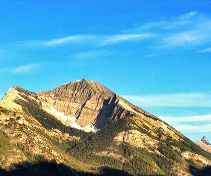
Cleveland Mountain
Glacier Country

Northwest Peak
Glacier Country
Wire Trail
Glacier Country
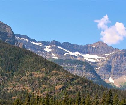
Goat Haunt
Glacier Country
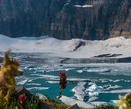
Grinnell Glacier
Glacier Country
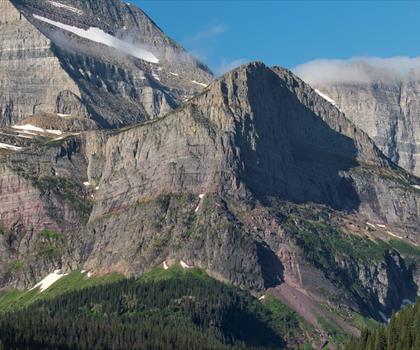
Mt. Gould
Glacier Country
Hiking near Sydney
22 trails to explore ~7455 km away
We work hard to provide the most up-to-date and error-free data possible. If something seems incorrect, let us know! Your contribution helps the whole community.
Hikers' opinions
Be the first to review!
No hiker has shared their experience yet. Share your impressions and help other hikers!