

Ready to explore Piper/Whiteface? Here's everything you need to know before you go!
Discover the trail
Trail description
The Piper Mountain and Whiteface Mountain loop in New Hampshire's Belknap Range delivers some of the most rewarding hiking in the Lakes Region. These twin peaks offer hikers a perfect combination of manageable terrain and spectacular payoffs, making them ideal for both newcomers to White Mountain hiking and experienced adventurers looking for a satisfying day out.
The Mountains
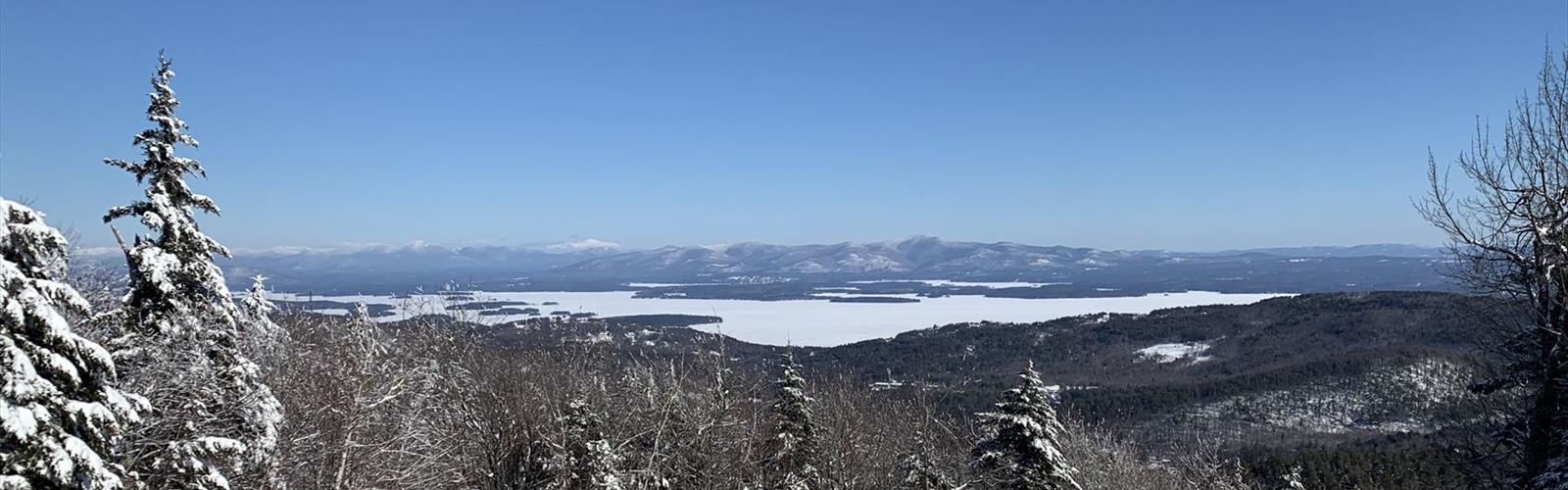
Piper Mountain, at 2,044 feet, serves as the higher and more popular of the two summits. Its relatively gentle approach makes it accessible to hikers of varying abilities, while still providing that sense of accomplishment that comes with reaching a legitimate New Hampshire peak. The mountain's position in the Belknap Range gives it commanding views over Lake Winnipesaukee and the surrounding countryside that feel much more dramatic than the modest elevation might suggest.
Whiteface Mountain, despite its lower elevation of 1,664 feet, shouldn't be overlooked. The trail to its summit presents a moderately challenging climb that takes you through some of the most varied terrain in the range. The rocky outcrops and enchanting woodlands create a hiking experience that feels distinctly different from its taller neighbor, and the summit views stretch across New Hampshire's rolling landscape in a way that complements Piper's lake-focused vistas perfectly.
Trail Experience and Terrain
The trailhead sits off Belknap Mountain Road, providing straightforward access to both peaks through the interconnected Belknap Range Trail system. Most hikers tackle these mountains as a loop, covering the 8.8-kilometer route with 823 meters of elevation gain in approximately 3 hours and 35 minutes of hiking time, though this can vary based on your pace and time spent at the summits.
Starting the ascent to Piper Mountain, you'll find yourself moving through dense New Hampshire forest that shifts character with the seasons. During warmer months, the understory comes alive with vibrant wildflowers that add splashes of color to the green canopy overhead. The trail maintains a steady but manageable grade, allowing you to settle into a comfortable rhythm as you gain elevation.
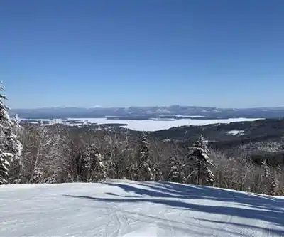
The approach to Piper's summit builds anticipation gradually. As you near the top, glimpses of Lake Winnipesaukee begin to appear through the trees, hinting at the panoramic reward waiting above. The summit itself opens up dramatically, revealing sweeping vistas that stretch across the lake's island-dotted surface and extend to the surrounding mountains. It's the kind of view that makes you want to linger, and the relatively spacious summit area accommodates groups comfortably.
The traverse between peaks takes you through some of the most interesting terrain in the Belknap Range. You'll encounter the rocky outcrops and varied forest types that make this area distinctive among New Hampshire's hiking destinations. The trail connection is well-marked and maintained, though it does require some attention to navigation as you move between the two mountain systems.
Whiteface Mountain's character differs noticeably from Piper's more straightforward approach. The trail here winds through enchanting woodlands that feel more intimate and secluded. Rocky sections add variety to the hiking experience and provide natural rest spots where you can appreciate the forest environment up close. While the summit sits lower than Piper's, the views from Whiteface offer their own appeal, with expansive panoramas across New Hampshire's picturesque landscape that provide a different perspective on the region's geography.
What Makes This Hike Special
What sets the Piper-Whiteface loop apart from other hikes in the White Mountains region is its perfect balance of accessibility and reward. The hard difficulty rating reflects the sustained effort required rather than technical challenges, making it an excellent stepping stone for hikers building toward more demanding peaks. The dual summit experience gives you two distinct perspectives on the same landscape, creating a more complete picture of the Belknap Range's character.
The forest diversity along the route showcases classic New Hampshire woodland ecosystems. You'll move through different forest types as you gain elevation, from mixed hardwood stands in the lower elevations to more coniferous growth near the summits. The rocky outcrops that punctuate the trail provide natural windows into the geological history of the region, while also serving as excellent vantage points for photography and rest breaks.
Planning Your Visit
Sturdy hiking boots are essential for this terrain, particularly when navigating the rocky sections and potentially muddy areas during wet conditions. The elevation gain and varied terrain demand footwear that can handle both forest paths and rocky outcrops confidently. Water requirements are significant for a hike of this duration—plan on carrying more than you think you'll need, especially during warmer weather when the exposed summit areas can be quite warm.
The photographic opportunities throughout this hike are exceptional. Lake Winnipesaukee's expansive surface creates dramatic compositions from Piper's summit, while the forest sections offer intimate shots of New Hampshire's woodland character. The rocky outcrops and varied terrain provide natural foreground elements that can enhance landscape photography, making a camera a worthwhile addition to your pack.
Seasonal considerations play an important role in planning your visit. The warmer months showcase the area's wildflower displays and provide the most comfortable hiking conditions, though they also bring the heaviest trail traffic. Spring offers the excitement of emerging vegetation and flowing water, while fall delivers the spectacular foliage displays that make New Hampshire famous. Winter hiking is possible for experienced hikers with appropriate gear, though conditions can be challenging and require careful preparation.
As part of the larger Belknap Range Trail system, these peaks connect to additional hiking opportunities for those interested in extending their adventure. The trail network provides options for longer explorations or alternative routes that can accommodate different skill levels and time constraints. The importance of Leave No Trace principles cannot be overstated in this popular hiking area, as the combination of accessibility and scenic rewards draws significant numbers of visitors throughout the hiking season.
The Essential Hiking Checklist
Everything you need for your next hike. Bilingual, printable, 1 page.
Get your free hiking checklistRecommended gear for this trail
As an Amazon Associate I earn from qualifying purchases.


Ready to go?
Everything you need to know before you goStarting Point
The piper/whiteface trails are located in the town of Jefferson, New Hampshire. To get to the start of the trails, take Route 115 east from Jefferson to the intersection with Piper Road. Turn left onto Piper Road and drive to the end of the road. The trailhead is located at the end of the road.
When?
How much?
As an Amazon Associate I earn from qualifying purchases.
Affiliate links — LGPO may earn a commission at no extra cost to you.
- Hiking shoes Essential
- → Salomon Elixir Tour Mid WP · 203.38 $
- Layered clothing Essential
- Rain jacket Essential
- Trekking poles
- → Black Diamond Trail Ergo Cork · 69.99 $
- Headlamp
- → Petzl Actik Core 625 · 103.95 $
FAQ - Frequently asked questions
Everything you need to knowSimilar hikes nearby
Discover other trails you might enjoy

Midstate Trail Sutton
Lakes Region
Copple Crown Mountain
Lakes Region
Cotton Valley Rail Trail Club
Lakes Region
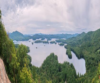
West Rattlesnake Mountain
Lakes Region
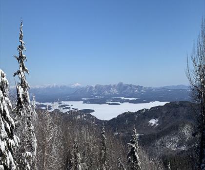
Piper Mountain
Lakes Region
Squam Lake
Lakes Region
Hiking near Concord
0 trails to explore ~36 km away
We work hard to provide the most up-to-date and error-free data possible. If something seems incorrect, let us know! Your contribution helps the whole community.
Hikers' opinions
Be the first to review!
No hiker has shared their experience yet. Share your impressions and help other hikers!