
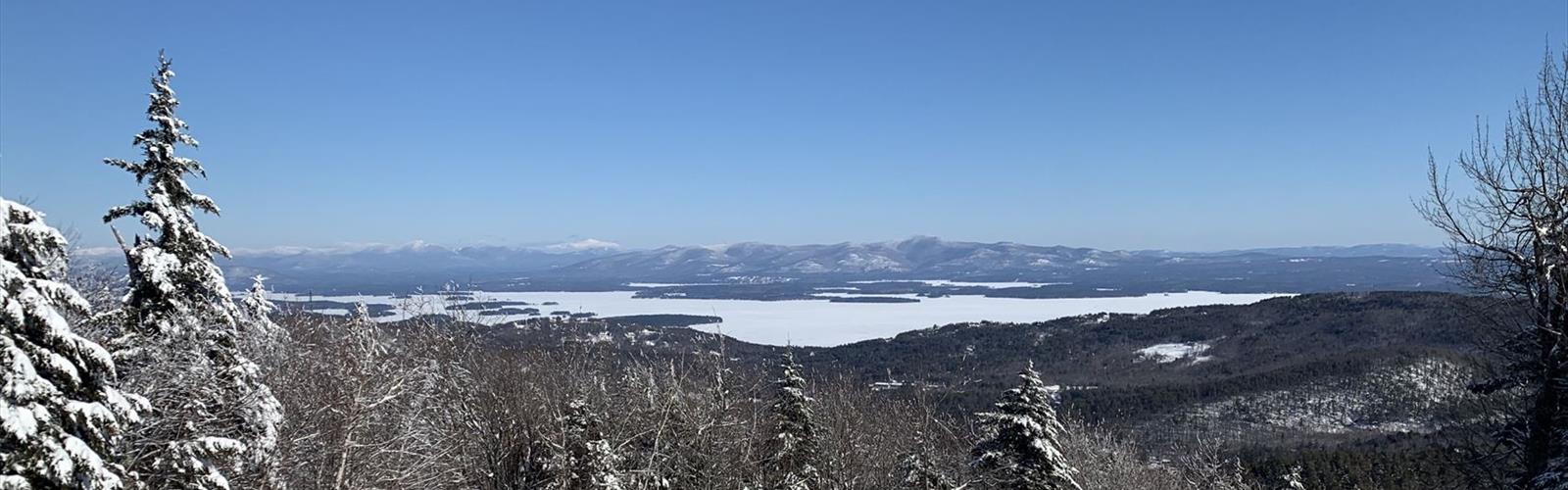
Ready to explore Gunstock Mountain Resort? Here's everything you need to know before you go!
Discover the trail
Trail description
Gunstock is a ski resort; according to the resort, its hiking trails are available year-round. The resort sits in the middle of the Belknap Range, right above Lake Winnipesaukee. Much of the trail network is maintained by the Belknap Range Trail Tenders, a volunteer organization that has taken primary responsibility for maintaining many trails in the range, particularly in its western part. Gunstock notes that many trails also suit mountain biking.
The five trails described by the resort
- Ridge Trail (white blazes): 0.9 mi (1.4 km) and about 50 minutes to the Mount Rowe summit; 2.8 mi (4.5 km) and about 2 hours 10 minutes to the Gunstock summit. It starts a little northwest of the Main Base Lodge, at the start of the access road to Mount Rowe. After the Mount Rowe summit, it follows the ridge into the saddle between Mount Rowe and Gunstock, then continues to the Gunstock summit.
- Brook Trail (yellow blazes): 1.7 mi (2.7 km) and about 1 hour 30 minutes to the Gunstock summit. It starts to the right of the large stone fireplace, just left of the Panorama chairlift. It climbs steadily through mature woodland and crosses ski trails several times. Near the top, a junction with the Saddle Trail (white blazes): turn right to continue on the Brook Trail to the summit; to the left, the Blue Trail leads to the top of Mount Belknap. The Brook Trail is closed to hikers during the Winter Ski & Ride season.
- Overlook Trail (orange blazes): 3.2 mi (5.1 km) and about 2 hours 20 minutes to the Gunstock summit. Follow the Round Pond Trail out of the main parking area; the trail is blazed orange and red for the first 0.9 mi, and the Overlook Trail is on the right just past a hairpin turn. It descends a little, crosses a brook, then climbs steadily through the forest. Turn right onto the Saddle Trail to reach the summit.
- Round Pond Trail (red blazes): 3.1 mi (5.0 km) and about 2 hours to the northwest shore of Round Pond. To reach the trailhead, follow the access road past the last maintenance buildings, then turn right onto a gravel road across a small stone bridge. At 1.8 mi, the trail meets the yellow-blazed East Gilford Trail and shares its route for 0.3 mi.
- Cobble Mountain Loop (blue cross-country ski markers, "XC"): a loop of about 2.25 mi (3.6 km) around the base of Cobble Mountain. It is reached from the entrance road near the maintenance yard; the Cobble Crown trail leads to the summit.
Hike up, ride down
The four-passenger Panorama Chairlift takes about 15 minutes to reach the summit. Gunstock sells one-way tickets for hiking up and riding down, or riding up and hiking down; they are bought at the base-area ticket office before you set out. The posted 2026 price, $20, is for unlimited lift rides. Pets are not permitted on the chairlift, and bikes cannot be carried to the summit. The lift does not run during winter snow sports operation, and weather can affect it: for the day's operating plans, call 603-293-4341.
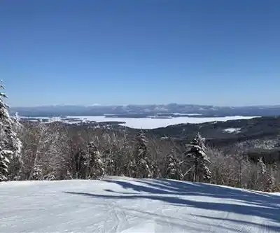
At the top, the view takes in Lake Winnipesaukee and the White Mountains; on a clear day, Mount Washington can be seen 50 miles away as the crow flies, among the Presidential Range.
An accessible boardwalk: the Wetlands Boardwalk
Built in partnership with the Belknap County Conservation District, this accessible quarter-mile (0.4 km) boardwalk has benches and informational elements about wetlands. Parking is off the entrance road, on the right. Access for visitors with disabilities is through the campground: stop in at the Camp Store for directions.
Getting ready
According to Gunstock, hikes at the resort take a few hours. The resort reminds visitors that they are responsible for being prepared: know where you are going and how to return, wear layers suited to the season, and carry in a daypack a whistle, a flashlight, a raincoat, plus extra food, water and clothing. Tell someone where you are going, which trails you will hike and when you will return. Gunstock asks that you refrain from smoking at the top of the mountain or on hiking trails.
Gunstock offers the "Gunstock Hiking and Biking Trail Map" (PDF), which covers the trails within the resort's boundaries. The Belknap Range Trail Map is available for download, and the Belknap Range Conservation Coalition offers hiking trail maps for the whole range.
Services and amenities
Everything you need for your next hike. Bilingual, printable, 1 page.
Get your free hiking checklistRecommended gear for this trail
As an Amazon Associate I earn from qualifying purchases.


Ready to go?
Everything you need to know before you goStarting Point
The Gunstock base is at 719 Cherry Valley Road in Gilford, New Hampshire. The Ridge Trail starts a little northwest of the Main Base Lodge, and the Brook Trail to the right of the large stone fireplace, near the Panorama chairlift. For the Overlook Trail, you leave the main parking area on the Round Pond Trail, and the Cobble Mountain Loop starts from the entrance road near the maintenance yard.
When?
How much?
As an Amazon Associate I earn from qualifying purchases.
Affiliate links — LGPO may earn a commission at no extra cost to you.
- Hiking shoes Essential
- → Salomon Elixir Tour Mid WP · 203.38 $
- Layered clothing Essential
- Rain jacket Essential
- Trekking poles
- → Black Diamond Trail Ergo Cork · 69.99 $
- Headlamp
- → Petzl Actik Core 625 · 103.95 $
FAQ - Frequently asked questions
Everything you need to knowOutings near Gunstock Mountain Resort
Discover other trails you might enjoy
Piper Mountain
Lakes Region · 4.3 km away
Piper/Whiteface
Lakes Region · 4.4 km away
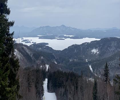
Belknap Range
Dartmouth-Lake Sunapee · 4.8 km away
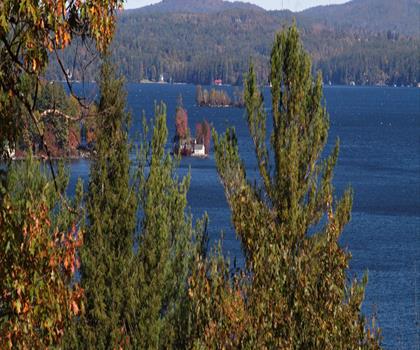
Mount Major State Forest
Lakes Region · 6.7 km away
Goat Pasture Hill
Lakes Region · 6.9 km away
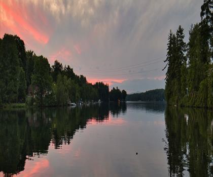
WOW Trail
Lakes Region · 8.6 km away
Hiking near Concord
178 trails to explore ~40 km away
We work hard to provide the most up-to-date and error-free data possible. If something seems incorrect, let us know! Your contribution helps the whole community.
Hikers' opinions
Be the first to review!
No hiker has shared their experience yet. Share your impressions and help other hikers!