Let's Go Play Outside
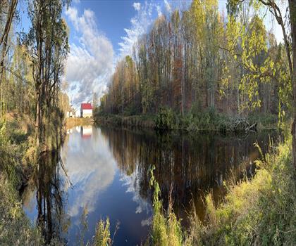
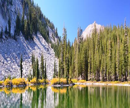
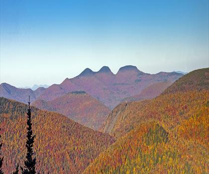
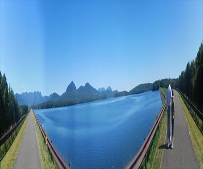
Hiking Balsam Mountain, New York - panoramic view  tree outdoor landscape nature mountain sky autumn plant cloud background lake painting forest surrounded distance
--°C
Loading...
See forecast →

Hiking in Balsam Mountain, New York: trails, map and practical info

Catskills • New York

Balsam Mountain, New York (Catskills, New York) : hike, 1,097 m of elevation gain, about 4 to 6 hours. . Dogs allowed.

4 to 6 hours.
Duration
1,097 m
Elevation
Dogs
Allowed

Ready to explore Balsam Mountain, New York? Here's everything you need to know before you go!

Discover the trail

Oh no! We don't have any photos 😢

This trail hasn't been captured yet. Be the first to share your adventure!

Trail description

Balsam Mountain is one of the High Peaks of the Catskill Mountains in the U.S. state of New York. Its exact height has not been determined, so the highest contour line, 3,600 feet (1,100 m), is usually given as its elevation. It is located in western Ulster County, on the divide between the Hudson and Delaware watersheds. The summit and western slopes of the peak are within the Town of Hardenburgh and its eastern slopes are in Shandaken. The small community of Oliverea is near its base on that side. Most of the mountain is publicly owned, managed by the New York State Department of Environmental Conservation as part of the state Forest Preserve, part of the Big Indian-Beaverkill Range Wilderness Area in the Catskill Park. The summit is on a small corner of private land. As one of the High Peaks it is a popular destination for hikers, especially peakbaggers seeking membership in the Catskill Mountain 3500 Club, since along with Slide, Panther and Blackhead it is one of four peaks that members must climb twice, at least once in winter. The Pine Hill-West Branch Trail (PHWB) crosses its summit; hikers usually approach from either side via the Oliverea-Mapledale Trail, which intersects the PHWB south of the summit, and make the ascent from there. The northwestern approach makes a loop route possible via the Mine Hollow Trail; the southeastern ascent, from McKenley Hollow, has the steepest stretch of trail on any ascent of a Catskill High Peak. Nearby Livingston Manor offers a charming gateway to explore this region further. Adventurers can also traverse through Rider Hollow or take on Belleayre Ridge for more challenging hikes. For those interested in wildlife observation or weather patterns, NOAA provides valuable insights into local conditions around Balsam Lake and beyond. The area surrounding Balsam Mountain includes notable trails such as Eagle Trail which offers breathtaking views across Pine Hill and other parts of New York's scenic landscapes. Whether you're exploring Mine Hollow or venturing towards Mckenley Hollow, each path presents unique opportunities to experience nature's beauty firsthand.
Free 1 page

The Essential Hiking Checklist

Everything you need for your next hike. Bilingual, printable, 1 page.

Get your free hiking checklist

Recommended gear for this trail

As an Amazon Associate I earn from qualifying purchases.

LGPO Pick
Elixir Tour Mid WP
Salomon
Elixir Tour Mid WP
4.5 (2847 reviews)
Waterproof mid-height boot ideal for rocky terrain
203.38 $
See price
Best Value
Trail Ergo Cork
Black Diamond
Trail Ergo Cork
4.4 (1456 reviews)
Comfortable cork grip for long ascents
69.99 $
See price
Daylite Plus 20L
Osprey
Daylite Plus 20L
4.7 (3215 reviews)
Lightweight and versatile for day hikes
109.99 $
See price
Actik Core 625
Petzl
Actik Core 625
4.6 (1893 reviews)
USB rechargeable with 600 lumens for early starts
103.95 $
See price
Most Popular
Wide Mouth 1L
Nalgene
Wide Mouth 1L
4.8 (12540 reviews)
Unbreakable and BPA-free — a hiking essential
23.11 $
See price
Affiliate links — LGPO may earn a commission at no extra cost to you.

Ready to go?

Everything you need to know before you go

Where?

Address
Not available
GPS coordinates
42.090932, -74.488016
Phone
Not available

Starting Point

To access the hiking trails, you can start at the McKenley Hollow Trailhead. The address is 493 Oliverea Road, Big Indian, NY 12410. Alternatively, you can begin at the Rider Hollow Trailhead located at the end of Rider Hollow Road in Arkville, NY 12406. Both trailheads offer parking facilities for hikers.

When?

Opening hours
No information
Weather (next days)
Loading
What to bring?

As an Amazon Associate I earn from qualifying purchases.

Affiliate links — LGPO may earn a commission at no extra cost to you.

General hiking tips, to adapt to your outing.
Gear
Download the PDF checklist
Water & food
Tip: bring water
Good to know
Park rules
Dogs allowed
In an emergency
Emergency
911
GPS coordinates
42.090932, -74.488016

Hikers' opinions

Be the first to review!

No hiker has shared their experience yet. Share your impressions and help other hikers!

FAQ - Frequently asked questions

Everything you need to know
The elevation gain of Balsam Mountain, New York is 1,097 m.
Allow about 4 to 6 hours. for Balsam Mountain, New York.
Yes, dogs are allowed at Balsam Mountain, New York.
Didn't find your answer?
Top 10 best hiking in Catskills
Our ranking based on hiker reviews

Hiking near Poughkeepsie

284 trails to explore ~64 km away

View trails
Did you spot an error?

We work hard to provide the most up-to-date and error-free data possible. If something seems incorrect, let us know!

Update : October 2026