
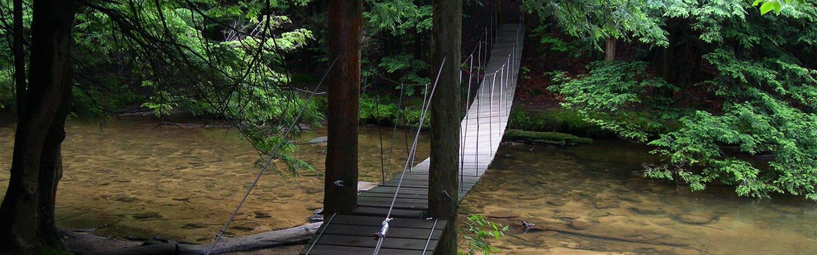
Ready to explore John P. Saylor Trail? Here's everything you need to know before you go!
Discover the trail
Available trails
| TrailTrails | Dist.Distance | GainElevation | Difficulty | GPX |
|---|---|---|---|---|
|
|
19.3 km | — | ||
|
|
8 km | — |
Trail description
Two loops, one trailhead
According to the DCNR map (Bureau of Forestry), John P. Saylor Trail has a large loop of 12 mi (19.3 km) and a small loop of 5 mi (8.0 km). Both are marked with orange blazes and distance posts. The DCNR page describes an 18 mi (29 km) trail that is relatively flat with gradual climbs.
Wikipedia gives 17.5 mi (28.2 km) for the full figure-eight route. It adds that the large loop is hiked clockwise from the parking lot and that the small loop cannot be reached directly by car.
What you pass along the way
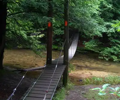
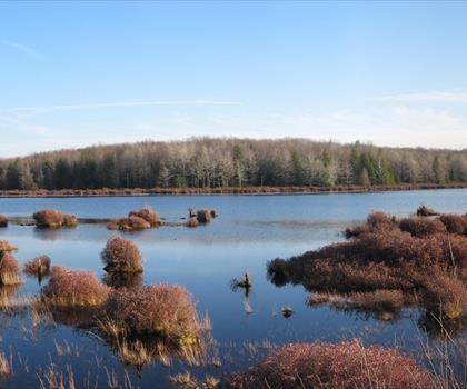
According to the DCNR, the trail follows former railroad grades over swampy areas in places, passes through a former logging camp and crosses Clear Shade Creek on a narrow suspension bridge that leads into the Clear Shade Wild Area. Wikipedia places Wolf Rocks 10.7 mi from the start on the large loop and gives an elevation range of 660 m (2,180 ft) to 790 m (2,580 ft).
Before you go
- Trailhead: Babcock Picnic Area, on the DCNR map, with trail parking. According to Wikipedia, the main trailhead is the Babcock Picnic Area parking lot, off Route 56. The map says to contact the park or forest office about overnight parking.
- Dogs: in a Pennsylvania state forest, a dog is allowed if it is attended and under a person's control, does not disturb or intimidate others and does not damage property or resources. In a state forest picnic area, a leash is required (6 ft, or 1.8 m, at most).
- Blazes: orange blazes and distance posts (DCNR map). Bring the DCNR map with you.
- Season: Wikipedia says the trail is open year round. The DCNR does not state a season on its trail page.
- Hazards: Wikipedia lists severe weather, poison ivy and ticks.
Services and amenities
Everything you need for your next hike. Bilingual, printable, 1 page.
Get your free hiking checklistRecommended gear for this trail
As an Amazon Associate I earn from qualifying purchases.


Ready to go?
Everything you need to know before you goStarting Point
Babcock Picnic Area, Gallitzin State Forest, near Route 56 (Somerset County, Pennsylvania). The trail starts from this area.
When?
As an Amazon Associate I earn from qualifying purchases.
Affiliate links — LGPO may earn a commission at no extra cost to you.
- Hiking shoes Essential
- → Salomon Elixir Tour Mid WP · 203.38 $
- Layered clothing Essential
- Rain jacket Essential
- Trekking poles
- → Black Diamond Trail Ergo Cork · 69.99 $
- Headlamp
- → Petzl Actik Core 625 · 103.95 $
FAQ - Frequently asked questions
Everything you need to knowOutings near John P. Saylor Trail
Discover other trails you might enjoy
Lost Turkey Trail
Pennsylvania Dutch Country · 10.1 km away

Laurel Hill, Pennsylvania
Valleys of the Susquehanna · 51.1 km away
Happy Trails Campground & Cabins
Canadian Rockies · 59.2 km away

Western Maryland Rail Trail
Western Maryland · 76.2 km away

Plank Trail
Pennsylvania Dutch Country · 76.4 km away
Black Moshannon State Park
Pennsylvania Dutch Country · 97.9 km away
Hiking near Pittsburgh
3 trails to explore ~108 km away
We work hard to provide the most up-to-date and error-free data possible. If something seems incorrect, let us know! Your contribution helps the whole community.
Hikers' opinions
Be the first to review!
No hiker has shared their experience yet. Share your impressions and help other hikers!