
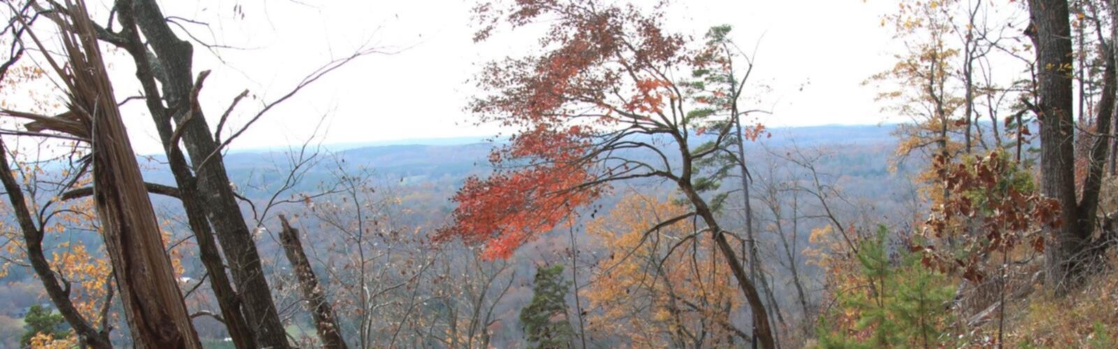

Ready to explore Sugarloaf Mountain, Utah? Here's everything you need to know before you go!
Discover the trail
Oh no! We don't have any photos 😢
This trail hasn't been captured yet. Be the first to share your adventure!Trail description
Sugarloaf Mountain sits at the top of Big Cottonwood Canyon, one of the most accessible alpine destinations in the Salt Lake City area. The summit is reached via the top of Brighton Ski Resort, which means you're already starting at serious elevation before you take a single step on the trail. The result is a hike that delivers big mountain views without requiring a full-day commitment — and that's a big part of why it's become a local favorite.
The Terrain
The trail to Sugarloaf Mountain is a classic above-treeline alpine route. Once you leave the ski resort infrastructure behind, you're moving through open rocky terrain with wide-open sightlines in every direction. The path climbs steadily along a ridgeline, with loose rock and talus sections that require some attention underfoot. It's not technical climbing, but it's not a casual stroll either — the footing demands focus, especially on the upper sections near the summit.
The landscape here is quintessential Wasatch high country: exposed granite and quartzite, patches of alpine tundra, and the kind of stark, wind-sculpted scenery that reminds you you're well above the valley floor. On a clear day, the summit offers sweeping views of the Salt Lake Valley, the surrounding Wasatch peaks, and on exceptional days, you can see far into the Great Basin to the west.
Starting from Brighton
Most hikers access Sugarloaf Mountain through Brighton Ski Resort at the top of Big Cottonwood Canyon. The trailhead sits near the resort's upper lifts, which means parking is generally straightforward in the summer months when the ski season is over. The resort area itself serves as a useful orientation point — you'll see the ridgeline you're heading toward almost immediately.
Because the starting elevation is already high, the hike is shorter in terms of vertical gain than many comparable summit experiences in the Wasatch. That said, the altitude is real and it affects people differently. If you're coming up from the valley or visiting from lower elevations, give yourself time to adjust before pushing hard on the ascent.
What Makes This Hike Stand Out
A lot of hikes in the Salt Lake City area require long approaches through forested canyon trails before you reach anything resembling open alpine terrain. Sugarloaf flips that script. You're in the alpine zone almost immediately, which makes the payoff feel immediate and the experience feel distinct from the canyon hikes lower down in Big Cottonwood or Little Cottonwood.
The 360-degree views from the summit are genuinely impressive. To the north and east, you're looking at a wall of Wasatch peaks. To the west, the Salt Lake Valley spreads out below you, with the Great Salt Lake visible in the distance on clear days. It's the kind of view that gives you a real sense of the geography of northern Utah — the contrast between the high mountains and the flat basin is striking from up here.
The hike also connects naturally with other trails in the Brighton area, including routes toward Lake Mary, Lake Martha, and Lake Catherine. Many hikers combine Sugarloaf with one of these lake destinations for a longer outing that mixes summit views with the quieter, more sheltered feel of the alpine lakes below the ridgeline.
Practical Considerations
The window for hiking Sugarloaf Mountain is typically summer through early fall. Snow can linger well into June at this elevation, and early season conditions can make the upper trail icy or unstable. By mid-July, the trail is generally clear and at its best. Come September, afternoon thunderstorms become a real concern — the exposed ridgeline is not a place you want to be when lightning is in the area. Start early and plan to be off the summit before early afternoon if there's any chance of afternoon weather building.
Bring layers regardless of what the valley weather looks like. Temperatures at the top of Big Cottonwood Canyon can be significantly cooler than in Salt Lake City, and wind on the exposed ridgeline adds to that chill. Sun protection is equally important — the UV exposure at altitude is intense, and there's no shade once you leave the resort area behind.
- Footwear: Sturdy hiking boots with ankle support are strongly recommended given the rocky, uneven terrain on the upper trail.
- Water: Carry more than you think you need. There are no reliable water sources on the trail itself.
- Weather awareness: Check the forecast before heading up and watch the sky closely once you're on the exposed ridgeline.
- Altitude: The starting elevation is high enough that visitors from lower elevations should take the ascent at a measured pace.
- Dogs: Big Cottonwood Canyon is a protected watershed — dogs are not permitted on trails within the canyon, including this one.
Getting There
Sugarloaf Mountain is accessed via Big Cottonwood Canyon Road (Utah State Route 190), which heads southeast from the Salt Lake Valley. Follow the canyon road to its end at Brighton. The trailhead is located within the Brighton Ski Resort area at the top of the canyon. Big Cottonwood Canyon is a Salt Lake City watershed, which means there are restrictions in place — no dogs, no washing vehicles in streams, and no dispersed camping within the watershed boundaries. These rules apply year-round and are actively enforced.
Parking at Brighton is available in the resort lots during the summer season. On busy summer weekends, the canyon can see heavy traffic, so an early start is worthwhile both for parking and for getting ahead of afternoon crowds on the trail.
Who This Hike Is For
Sugarloaf Mountain is a solid choice for hikers who are comfortable on rocky, exposed terrain and want a genuine summit experience without committing to a full-day alpine objective. The high starting elevation makes the hike more accessible than many Wasatch summits, but the rocky upper trail and altitude mean it's not the right fit for complete beginners or young children who aren't experienced on uneven ground. For fit hikers looking for big views and that above-treeline feeling, it delivers consistently.
The Essential Hiking Checklist
Everything you need for your next hike. Bilingual, printable, 1 page.
Get your free hiking checklistRecommended gear for this trail
As an Amazon Associate I earn from qualifying purchases.


Ready to go?
Everything you need to know before you goWhen?
How much?
As an Amazon Associate I earn from qualifying purchases.
Affiliate links — LGPO may earn a commission at no extra cost to you.
- Hiking shoes Essential
- → Salomon Elixir Tour Mid WP · 203.38 $
- Layered clothing Essential
- Rain jacket Essential
- Trekking poles
- → Black Diamond Trail Ergo Cork · 69.99 $
- Headlamp
- → Petzl Actik Core 625 · 103.95 $
FAQ - Frequently asked questions
Everything you need to knowSimilar hikes nearby
Discover other trails you might enjoy

Powder Mountain
Northern Utah

Deer Valley Resort
Northern Utah

Ben Lomond, Utah
Northern Utah
Mormon Pioneer Trail
Northern Utah

Weber River
Northern Utah
Blacksmith Fork
Northern Utah
Hiking near Calgary
120 trails to explore ~1180 km away
We work hard to provide the most up-to-date and error-free data possible. If something seems incorrect, let us know! Your contribution helps the whole community.
Hikers' opinions
Be the first to review!
No hiker has shared their experience yet. Share your impressions and help other hikers!