

Ready to explore Weber River? Here's everything you need to know before you go!
Discover the trail
Oh no! We don't have any photos 😢
This trail hasn't been captured yet. Be the first to share your adventure!Trail description
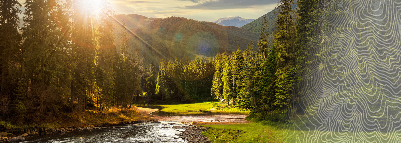
The Weber River corridor in central Utah offers a natural escape that feels genuinely removed from the noise of everyday life. Whether you're following the riverbank on foot, watching the current push through canyon walls, or simply sitting on a rock while the water moves past, this is the kind of place that earns repeat visits. The river itself is the main character here — everything else organizes around it.
The River and the Landscape
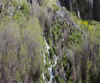
The Weber River cuts through a varied landscape that shifts as you move along it. You'll find stretches where the banks are open and grassy, giving way to sections where cottonwoods and willows crowd close to the water. The riparian zone along the river is dense with vegetation compared to the drier terrain that surrounds it — that contrast is part of what makes the area feel so alive. Birdlife is active along the corridor, and the sound of moving water is a constant companion.
The terrain underfoot varies depending on where you access the river. Some sections are flat and easy to walk, while others involve rougher ground, loose rock, or scrambling near the water's edge. It's worth paying attention to conditions, especially after rain or during higher water periods in spring when snowmelt pushes the river up.
What to Expect on the Trail
This isn't a heavily developed trail system with signage every hundred meters. The Weber River area rewards hikers who are comfortable navigating more naturally, reading the terrain, and making their own decisions about how far to go and where to turn around. That said, it's not technical wilderness travel — most people with basic hiking experience will feel at home here.
The riverside setting means you're rarely far from water, which is both a draw and something to stay aware of. River crossings, if you encounter them, should be assessed carefully based on current conditions. Footing near the bank can be slippery, particularly on wet rock or muddy soil.
Because the area follows a river corridor rather than a summit or a defined loop, the experience is more about the journey along the water than reaching a specific destination. That makes it a good fit for hikers who prefer an exploratory, unhurried pace over a goal-oriented climb.
Wildlife and Nature
The riparian habitat along the Weber River supports a notably different mix of species than the surrounding upland terrain. Cottonwood groves provide nesting habitat for birds, and the river itself supports fish populations that attract both anglers and wildlife like herons and kingfishers. Deer are commonly seen in the area, particularly in the early morning and evening hours. The transition between the river corridor and the drier surrounding landscape creates edge habitat that tends to concentrate wildlife activity.
Insects are part of the picture too — particularly in warmer months near the water. If you're sensitive to mosquitoes or other biting insects, it's worth bringing repellent, especially during early summer when water levels are higher and vegetation is thick.
Practical Information
Central Utah's climate means the Weber River area has a real season range. Spring brings higher water and lush green growth along the banks, but also muddy conditions and the possibility of flooding in low-lying areas. Summer is warm and dry, with the river providing a natural cooling effect. Fall is often considered the most pleasant time to visit — temperatures are moderate, crowds are minimal, and the cottonwoods along the bank turn yellow in a way that's genuinely worth seeing. Winter access depends on conditions and how much snow has fallen in the area.
- Best seasons: Spring through fall, with fall often offering the most comfortable conditions
- Water: Bring your own — river water requires treatment before drinking
- Footwear: Trail shoes or hiking boots with good grip are recommended, especially near the water's edge
- Navigation: Familiarize yourself with the access points before heading out, as the corridor can extend in multiple directions
Getting There
Access to the Weber River corridor in central Utah depends on which section you're targeting. The area is reachable by vehicle, and parking is available at various access points along the river. It's worth checking current road and access conditions before your visit, particularly in spring when some lower roads near the river can be affected by high water or soft ground.
Cell service in parts of central Utah can be limited, so downloading offline maps before you go is a practical step rather than an optional one. Letting someone know your planned route and expected return time is always a good habit in areas where you might not have reliable connectivity.
Leave No Trace
River corridors are particularly sensitive environments. The vegetation along the banks stabilizes soil and provides critical habitat — staying on established paths where they exist, and being thoughtful about where you step in more open sections, helps keep the area in good shape for everyone who comes after you. Pack out everything you bring in, and keep a respectful distance from any wildlife you encounter near the water.
The Weber River in central Utah is the kind of place that doesn't need to oversell itself — the river does the work, and the landscape around it fills in the rest.
The Essential Hiking Checklist
Everything you need for your next hike. Bilingual, printable, 1 page.
Get your free hiking checklistRecommended gear for this trail
As an Amazon Associate I earn from qualifying purchases.


Ready to go?
Everything you need to know before you goWhen?
How much?
As an Amazon Associate I earn from qualifying purchases.
Affiliate links — LGPO may earn a commission at no extra cost to you.
- Hiking shoes Essential
- → Salomon Elixir Tour Mid WP · 203.38 $
- Layered clothing Essential
- Rain jacket Essential
- Trekking poles
- → Black Diamond Trail Ergo Cork · 69.99 $
- Headlamp
- → Petzl Actik Core 625 · 103.95 $
FAQ - Frequently asked questions
Everything you need to knowSimilar hikes nearby
Discover other trails you might enjoy

Powder Mountain
Northern Utah

Deer Valley Resort
Northern Utah
Ben Lomond, Utah
Northern Utah
Sugarloaf Mountain, Utah
Northern Utah
Mormon Pioneer Trail
Northern Utah
Blacksmith Fork
Northern Utah
Hiking near Calgary
120 trails to explore ~1157 km away
We work hard to provide the most up-to-date and error-free data possible. If something seems incorrect, let us know! Your contribution helps the whole community.
Hikers' opinions
Be the first to review!
No hiker has shared their experience yet. Share your impressions and help other hikers!