


Ready to explore Ox Trail? Here's everything you need to know before you go!
Discover the trail
Oh no! We don't have any photos 😢
This trail hasn't been captured yet. Be the first to share your adventure!Trail description
The Ox Trail is a hiking trail located in the Blue Ridge Highlands region of Virginia, USA. Tucked into one of the most scenic corners of the state, this trail offers hikers a genuine taste of the rugged, forested terrain that defines the Blue Ridge Highlands — a landscape shaped by ancient mountains, dense hardwood forests, and the kind of quiet that's getting harder to find.
The Terrain
The Blue Ridge Highlands sit in the southwestern tip of Virginia, where the mountains feel older and wilder than in many other parts of the Appalachian range. The Ox Trail winds through this characteristic landscape, where the forest canopy is thick and the understory is lush. Expect rocky footing in sections, rooted paths through wooded stretches, and the kind of trail surface that rewards hikers who pay attention to where they step.
The region is known for its mix of oak, maple, and hickory forests, with pockets of hemlock in the cooler, shadier hollows. Depending on the season, the forest floor shifts dramatically — from a carpet of wildflowers in spring to a blaze of color in fall, when the Blue Ridge Highlands put on one of the better leaf-peeping shows in the mid-Atlantic and Southeast.
What to Expect on the Trail
The Ox Trail is the kind of hike where the experience is as much about the journey through the forest as it is about any single destination. The trail moves through mature woodland, giving hikers a sense of being genuinely immersed in the landscape rather than just passing through it. The pace here is unhurried — this is a trail that rewards those who slow down and take it in.
The Blue Ridge Highlands region sits at elevation, which means the air tends to be cooler and cleaner than in the valleys below. On a clear day, the quality of light filtering through the tree canopy is something worth stopping for. The sounds here are mostly wind, birds, and the occasional rustle of wildlife moving through the brush.
Footing can be uneven in places, so sturdy footwear is a smart call. The trail surface reflects the natural character of the highlands — it hasn't been over-engineered, which is part of its appeal for hikers looking for something that feels authentic rather than manicured.
The Blue Ridge Highlands Context
Understanding where the Ox Trail sits geographically helps set expectations. The Blue Ridge Highlands is a distinct region within Virginia, encompassing some of the highest elevations in the state. It borders Tennessee, Kentucky, West Virginia, and North Carolina, and it has a character that's noticeably different from the more heavily visited sections of the Blue Ridge further north.
This part of Virginia has a long history of outdoor recreation, with a network of trails, natural areas, and public lands that have been used by locals and visitors for generations. The Ox Trail fits into that broader tapestry — a trail that exists within a region that takes its outdoor heritage seriously.
The highlands are also home to a remarkable diversity of plant and animal life. The elevation gradient and varied microclimates support species that aren't found in the lower elevations of the state. Hikers with an interest in natural history will find plenty to observe along the way.
Practical Information
Before heading out on the Ox Trail, it's worth doing a bit of preparation specific to hiking in the Blue Ridge Highlands:
- Footwear: Trail runners or hiking boots with good ankle support are recommended given the rocky and rooted terrain typical of this region.
- Water: Carry enough water for your outing. While the highlands have streams and natural water sources, always treat any water collected in the field before drinking.
- Weather: Conditions in the highlands can change quickly. The elevation means temperatures can be cooler than expected, and afternoon thunderstorms are common in warmer months. Check the forecast before you go and be prepared to adjust your plans.
- Navigation: Download an offline map or bring a paper map of the area. Cell service can be unreliable in the more remote sections of the highlands.
- Leave No Trace: Pack out everything you bring in. The natural character of this trail and the surrounding landscape depends on hikers treating it with care.
Getting There
The Blue Ridge Highlands region of Virginia is accessible by vehicle, and most trailheads in the area are reached via a combination of state highways and forest roads. Road conditions on unpaved access routes can vary by season, so it's worth checking current conditions before your visit, particularly in early spring when roads can be soft, or after significant rainfall.
Parking availability at trailheads in the highlands varies by location. Arriving earlier in the day is generally a good strategy, particularly on weekends and during peak fall foliage season when the region draws more visitors.
Who This Trail Is For
The Ox Trail in the Blue Ridge Highlands suits hikers who are comfortable on natural, unimproved trail surfaces and who are looking for an experience that connects them with the forest rather than rushing them through it. It's a good fit for those who appreciate the quieter, less-crowded corners of Virginia's outdoor landscape.
Hikers with young children should assess the trail conditions and their group's comfort level with uneven terrain before committing to the full route. Those with dogs should verify current pet policies for the specific land management area where the Ox Trail is located before bringing their animals along.
For anyone drawn to the Blue Ridge Highlands — whether for the scenery, the wildlife, the history, or simply the chance to spend time in a genuinely wild corner of Virginia — the Ox Trail offers a worthwhile way to experience what makes this region stand apart from the rest of the state's hiking landscape.
The Essential Hiking Checklist
Everything you need for your next hike. Bilingual, printable, 1 page.
Get your free hiking checklistRecommended gear for this trail
As an Amazon Associate I earn from qualifying purchases.


Ready to go?
Everything you need to know before you goWhen?
How much?
As an Amazon Associate I earn from qualifying purchases.
Affiliate links — LGPO may earn a commission at no extra cost to you.
- Hiking shoes Essential
- → Salomon Elixir Tour Mid WP · 203.38 $
- Layered clothing Essential
- Rain jacket Essential
- Trekking poles
- → Black Diamond Trail Ergo Cork · 69.99 $
- Headlamp
- → Petzl Actik Core 625 · 103.95 $
FAQ - Frequently asked questions
Everything you need to knowSimilar hikes nearby
Discover other trails you might enjoy

New River West
Blue Ridge Highlands
Benita Fitgerald
Blue Ridge Highlands

First Landing State Park
Blue Ridge Highlands
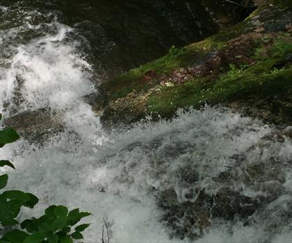
Crabtree Falls
Blue Ridge Highlands
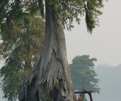
Great Dismal Swamp
Blue Ridge Highlands
Carvins Cove Reservoir
Blue Ridge Highlands
Hiking near Sydney
22 trails to explore ~7638 km away
We work hard to provide the most up-to-date and error-free data possible. If something seems incorrect, let us know! Your contribution helps the whole community.
Hikers' opinions
Be the first to review!
No hiker has shared their experience yet. Share your impressions and help other hikers!