
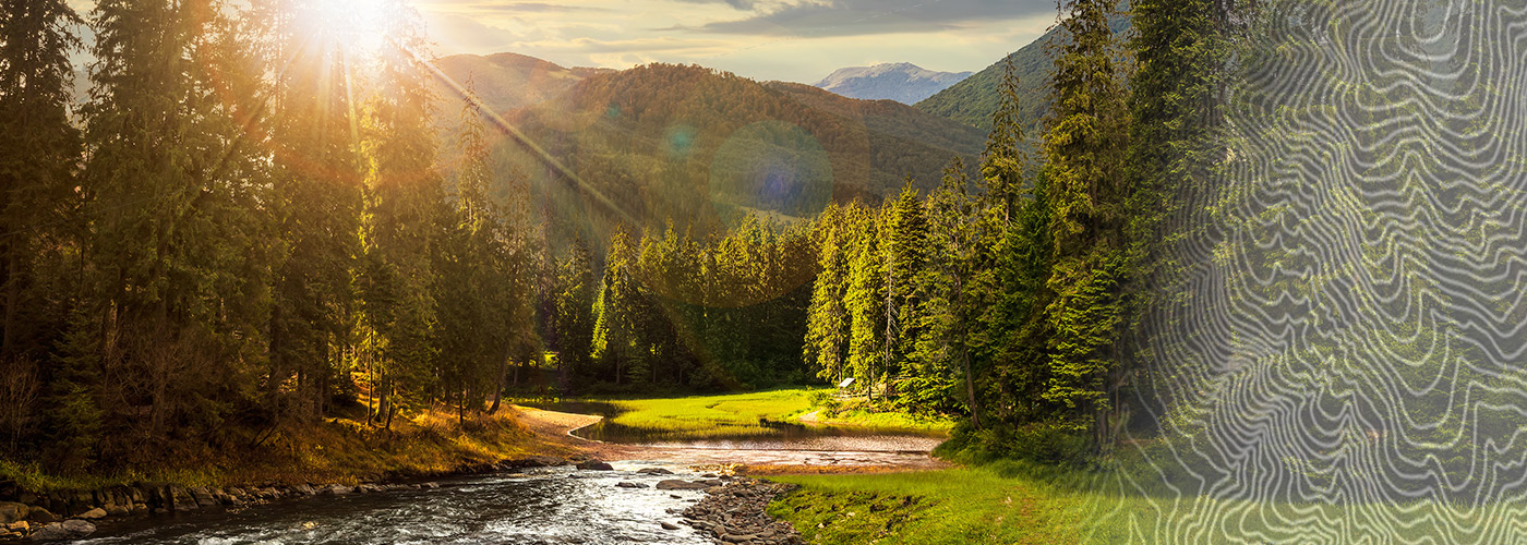

Ready to explore Mount Langford, Wyoming? Here's everything you need to know before you go!
Discover the trail
Oh no! We don't have any photos 😢
This trail hasn't been captured yet. Be the first to share your adventure!Trail description
Mount Langford sits in the Absaroka Range on the eastern boundary of Yellowstone National Park in Wyoming, rising above the rugged backcountry that most visitors to the region never reach. This is not a peak you stumble upon — getting here takes commitment, solid navigation skills, and a genuine appetite for remote wilderness travel. The reward is a summit experience that feels genuinely earned, with sweeping views across one of the most dramatic landscapes in the American West.
The Mountain and Its Setting
Mount Langford is part of the Absaroka Range, a volcanic mountain chain that forms the eastern edge of the Greater Yellowstone Ecosystem. The terrain here is characteristically rugged — steep ridgelines, loose volcanic rock, open alpine meadows, and dense forest at lower elevations. Unlike the geyser basins and boardwalk attractions that define the Yellowstone experience for most people, this corner of the park is raw and quiet. You're far more likely to encounter elk, grizzly bear, or moose than another hiker.
The Absarokas are geologically distinct from the ranges to the west. The rock is primarily volcanic breccia and rhyolite, which means the terrain can be loose and unpredictable in places, especially on steeper slopes near the summit. Hikers should be comfortable with off-trail travel and have experience reading mountain terrain before attempting this peak.
Access and Trailhead
Access to Mount Langford typically involves entering Yellowstone's backcountry from trailheads along the park's eastern corridors. Because this is deep backcountry within Yellowstone National Park, a backcountry permit is required for any overnight travel. Permits can be obtained through the National Park Service, and demand for popular backcountry campsites in Yellowstone can be high during summer months, so planning ahead is strongly recommended.
Day hikers attempting the summit should be prepared for a very long and physically demanding outing. The approach involves significant elevation gain and off-trail navigation across open alpine terrain. A topographic map and compass — or a reliable GPS device with downloaded maps — are essential. Cell service is nonexistent in this area.
What the Hike Is Actually Like
The lower portions of any approach to Mount Langford move through classic Yellowstone backcountry forest — lodgepole pine giving way to subalpine fir and Engelmann spruce as you gain elevation. Thermal features are part of the broader Yellowstone landscape, and depending on your route, you may notice the sulfurous smell or steam vents that remind you this entire region sits atop one of the world's largest active volcanic systems.
As you climb higher, the trees thin out and the views open up dramatically. The Absaroka ridgeline stretches in both directions, and on a clear day the panorama extends deep into the park's interior. The upper slopes require careful footing — the volcanic rock breaks apart more easily than granite, and loose scree sections demand attention. There is no marked trail to the summit, so route-finding ability is not optional here.
Wildlife encounters are a real possibility throughout the hike. Grizzly bears are active in this part of Yellowstone, and carrying bear spray is mandatory — not just recommended. Know how to use it before you head out. Elk and bison are also common in the valleys and meadows below the summit zone.
Who This Hike Is For
Mount Langford is best suited for experienced hikers and peak baggers who are comfortable with:
- Extended off-trail travel on loose, volcanic terrain
- Navigation by map and compass or GPS in areas with no marked trail
- Backcountry travel in grizzly bear country
- Long days with significant elevation gain
- Self-sufficiency in a remote setting with no cell service and no rescue infrastructure nearby
This is not a beginner peak, and it is not a hike to improvise. The remoteness of the location means that if something goes wrong, help is a long way off. That said, for hikers who have the skills and experience, Mount Langford offers exactly the kind of quiet, demanding, deeply satisfying wilderness experience that the Yellowstone backcountry is known for among those who seek it out.
Permits, Regulations, and Park Rules
Mount Langford falls within Yellowstone National Park, which means all standard park regulations apply. These include:
- A valid park entrance fee or pass is required to enter Yellowstone
- Backcountry permits are required for overnight stays and must be obtained in advance or at a visitor center
- Campfires are restricted in the backcountry — check current regulations before your trip
- Dogs are not permitted on backcountry trails in Yellowstone National Park
- All food and scented items must be stored in bear-resistant containers or hung properly when camping
- Leave No Trace principles are expected and enforced
Regulations in Yellowstone exist to protect both the ecosystem and visitors. The park's wildlife management policies are strict, and rangers do patrol backcountry areas. Familiarize yourself with current rules on the National Park Service website before your trip, as conditions and permit requirements can change seasonally.
Practical Tips Before You Go
A few things worth knowing before you head out toward Mount Langford:
- Start early. Afternoon thunderstorms are common in the Absarokas during summer, and being on an exposed ridgeline or summit when lightning rolls in is a serious hazard.
- Bring more water than you think you need. High-elevation terrain in this region can be drier than expected, and water sources may require treatment.
- Tell someone your plan. Leave a detailed itinerary with a trusted contact who knows when to call for help if you don't check in.
- Check trail and road conditions with Yellowstone National Park before departing — seasonal closures, bear activity closures, and access road conditions can all affect your plans.
- Bear spray should be on your hip, not in your pack. In grizzly country, it needs to be accessible in seconds.
Mount Langford rewards the hikers who come prepared — those who have done the research, packed the right gear, and are ready to navigate genuinely wild terrain in one of North America's most iconic wilderness areas.
The Essential Hiking Checklist
Everything you need for your next hike. Bilingual, printable, 1 page.
Get your free hiking checklistRecommended gear for this trail
As an Amazon Associate I earn from qualifying purchases.


Ready to go?
Everything you need to know before you goWhen?
How much?
As an Amazon Associate I earn from qualifying purchases.
Affiliate links — LGPO may earn a commission at no extra cost to you.
- Hiking shoes Essential
- → Salomon Elixir Tour Mid WP · 203.38 $
- Layered clothing Essential
- Rain jacket Essential
- Trekking poles
- → Black Diamond Trail Ergo Cork · 69.99 $
- Headlamp
- → Petzl Actik Core 625 · 103.95 $
FAQ - Frequently asked questions
Everything you need to knowSimilar hikes nearby
Discover other trails you might enjoy
Heart Mountain, Wyoming
Yellowstone & Grand Teton
Pollux Peak, Wyoming
Yellowstone & Grand Teton
Mount Doane, Wyoming
Yellowstone & Grand Teton
Signal Mountain, Wyoming
Yellowstone & Grand Teton
Cache Mountain, Wyoming
Yellowstone & Grand Teton
Grand Teton, Wyoming
Yellowstone & Grand Teton
Hiking near Regina
4 trails to explore ~788 km away
We work hard to provide the most up-to-date and error-free data possible. If something seems incorrect, let us know! Your contribution helps the whole community.
Hikers' opinions
Be the first to review!
No hiker has shared their experience yet. Share your impressions and help other hikers!