
🏔️ Why is Gaspésie the hiker's paradise?
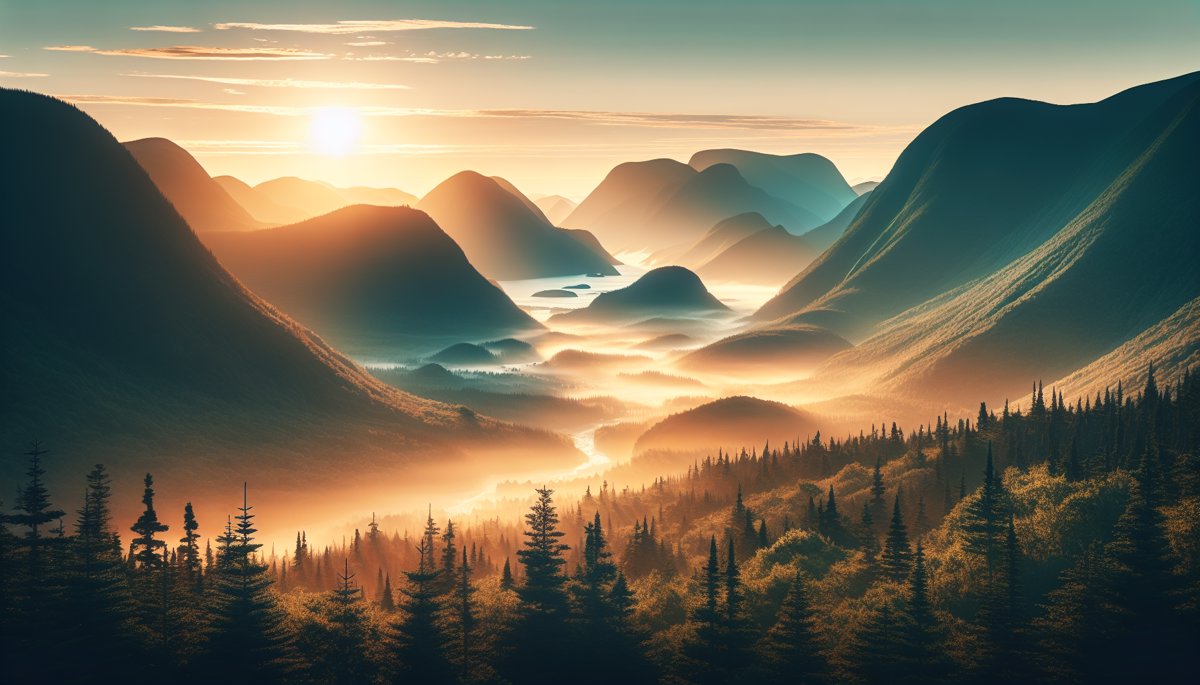
When I first set foot in Parc de la Gaspésie, I understood why so many hikers talk about this region with stars in their eyes. This wild peninsula offers some of the top 10 hiking trails in Gaspésie most spectacular in Quebec, with panoramas that take your breath away at every turn. After covering hundreds of kilometers on its trails over the years, I can tell you that Gaspésie is much more than a hiking destination — it's an experience that marks you. Between the peaks of the Chic-Chocs, the vertiginous cliffs of Forillon and the secret valleys of the backcountry, you'll discover landscapes of breathtaking beauty. In this guide, I share my 10 absolute favorites for exploring this magical region this summer, with all my field tips so you can make the most of it.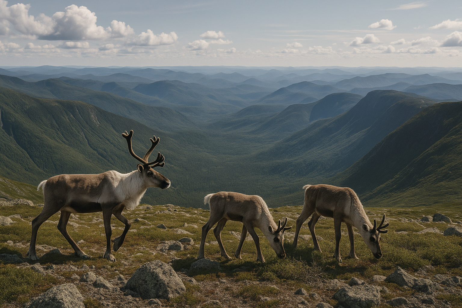
🥾 Mont Jacques-Cartier: your first date with Quebec's arctic
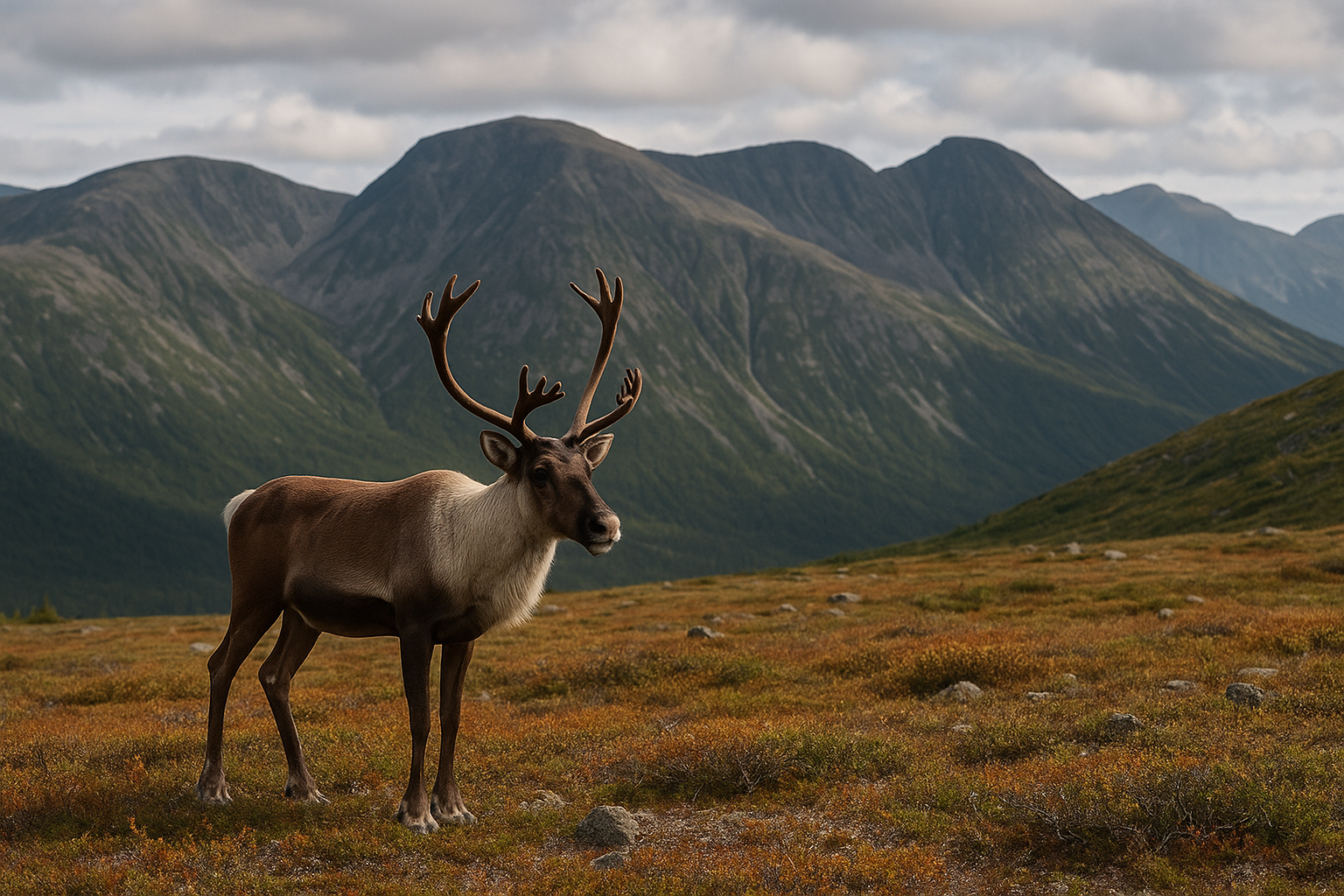
Mont Jacques-Cartier remains for me THE must-see of Gaspésie. At 1,268 meters, it's Quebec's second highest peak, and believe me, you feel it in your calves! But the reward is well worth the effort. The 8.2 km round-trip trail takes you from boreal forest to arctic tundra in just a few hours. It's completely crazy to see this vegetation change as you climb. And if you're lucky, you'll encounter caribou — I saw about twenty during my last ascent in July.
💡 Pro tip — Start early in the morning (before 7am) to avoid crowds and have better chances of observing caribou. They're more active when it's cool.
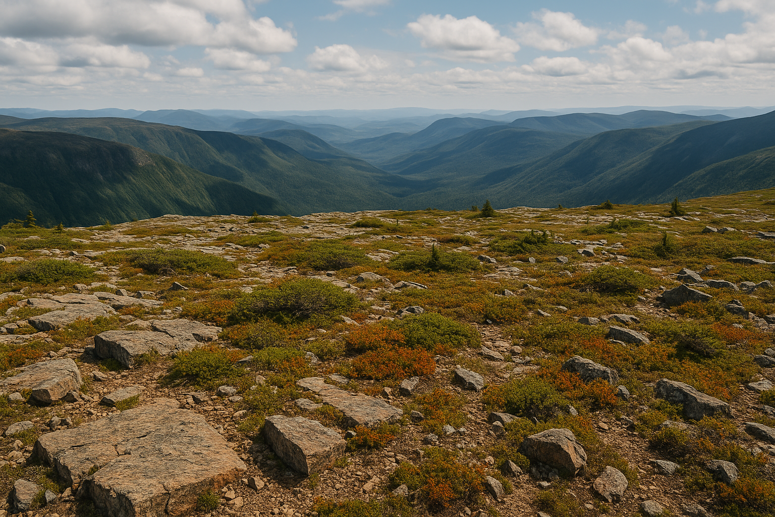
The view from the summit is indescribable. On clear days, you can see all the way to the St. Lawrence River and even glimpse the mountains of New Brunswick. The feeling of being at the end of the world is striking.
| Feature | Detail | Recommendation |
|---|---|---|
| Distance | 8.2 km round-trip | Allow 4-5h |
| Elevation gain | 445 meters | Intermediate level |
| Best period | June to September | July-August ideal |
How to get there and prepare
The trail starts at the discovery center of Parc National de la Gaspésie. Make sure you have extra layers — even in summer, it can be 10°C cooler at the summit than at the base. I've seen people in shorts and t-shirts shivering up there!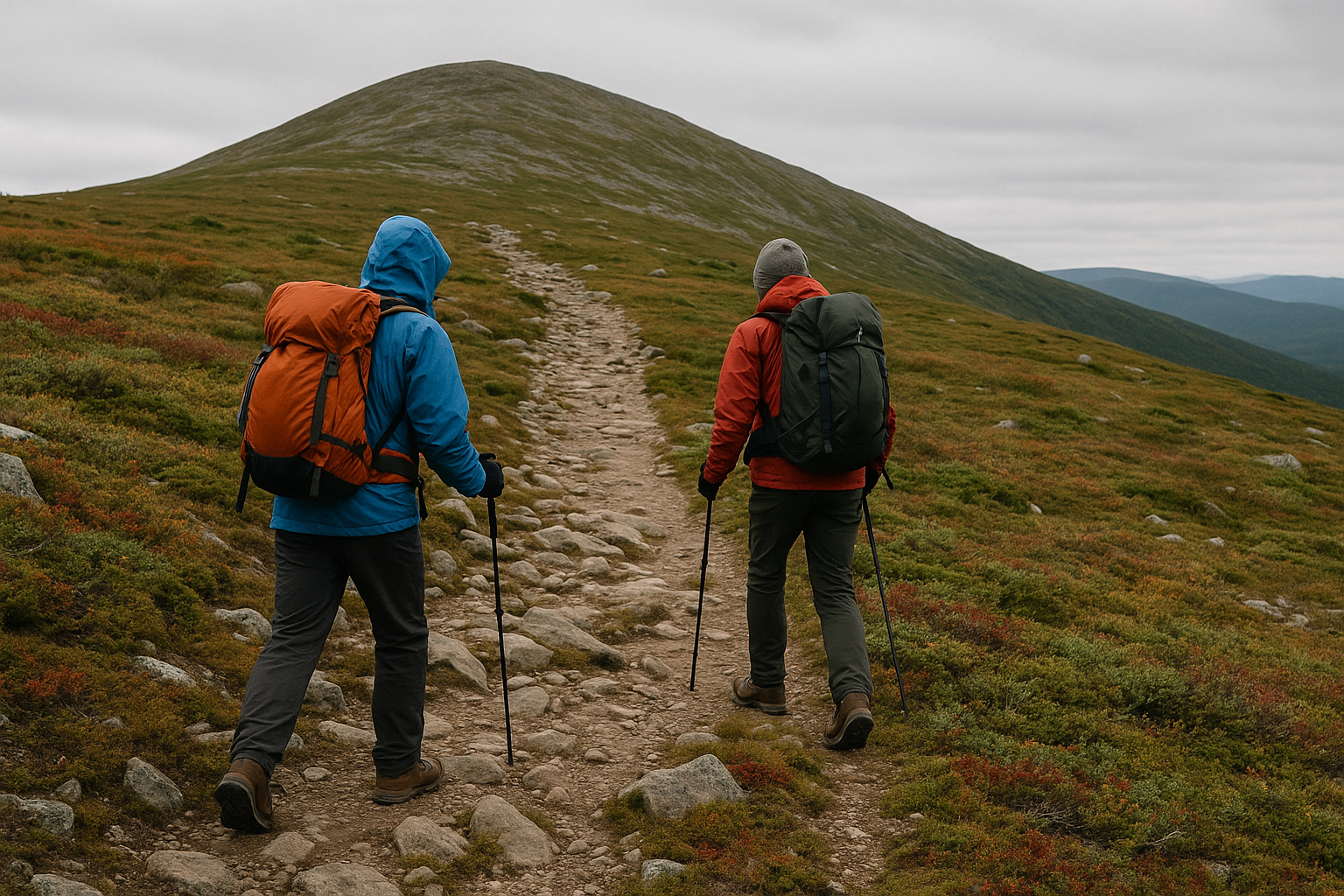
🌊 Sentier des Graves: between sea and mountain at Forillon
If you're looking for a total contrast with the mountains, the Sentier des Graves in Parc Forillon will make you fall in love with the Gaspésie coast. This 7.8 km trail follows the limestone cliffs and offers you breathtaking views of the Gulf of St. Lawrence. What I love about this hike is the diversity of landscapes. You start in a dense forest, then emerge on 200-meter high cliffs. The water colors change according to the light — from deep blue to brilliant turquoise. The highlight is undoubtedly Cap Gaspé, Quebec's easternmost point. When you stand there, facing the open sea, you realize you're at the end of America. It's a unique feeling.
📌 Good to know — The trail can be windy, especially near the cliffs. Bring a windbreaker even in good weather.
Marine wildlife and observations
Keep your eyes open toward the sea! I've been lucky enough to observe whales from the cliffs on several occasions. Seals are also very common in this area. Bring binoculars if you have them.⛰️ Mont Albert: an adventure in the Chic-Chocs
Mont Albert is probably my secret favorite in Gaspésie. Less crowded than Jacques-Cartier, it nevertheless offers equally spectacular panoramas. This 1,154-meter massif is distinguished by its unique summit plateau, sometimes nicknamed "the giant's table." The 12.8 km round-trip hike is more demanding, but it reserves surprises at every turn. You first cross a magnificent mixed forest, then tackle the serious climb to the alpine plateau."Mont Albert is like discovering a lost world at the top of the Chic-Chocs. The contrast between the dense forest and this lunar plateau is striking."What makes this mountain so special is its geology. The summit is composed of peridotite, a rock from the Earth's mantle rarely found on the surface. It creates an almost Martian landscape, with unique orange and ochre tones.
⚠️ Warning — The summit plateau is very exposed to weather. Conditions can change rapidly. Check conditions before leaving and be ready to turn back if necessary.
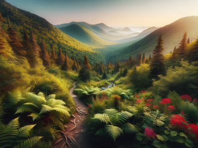
🏞️ Vallée de la rivière Sainte-Anne: a hidden gem
For a more accessible but equally rewarding hike, I highly recommend the Vallée de la rivière Sainte-Anne trail. This 6.4 km loop in Parc de la Gaspésie is perfect if you're traveling with family or looking for a less demanding option. The trail first follows the crystal-clear river, then gradually climbs to a viewpoint offering a plunging view of the entire valley. What I like about this hike is its contemplative side. You can really take your time, stop to observe wildlife, listen to the song of the water.Points of interest along the way
- Chutes de la Sainte-Anne: three successive falls perfect for a photo break
- Belvédère des Érables: panoramic view of the valley (magnificent in autumn)
- Natural pools: perfect for dipping your feet in hot weather
- Ancient forest: some impressive century-old maples
📥 Download our free gifts — Hiking checklists, detailed maps and PDF guides to explore Gaspésie safely.
Get my gifts →
Get my gifts →
🦅 Mont Xalibu trail: following caribou tracks
Mont Xalibu (1,135 m) offers an interesting alternative to Mont Jacques-Cartier for observing caribou. The 10.2 km round-trip trail is less crowded, which increases your chances of wildlife encounters. I have a particular affection for this mountain because it's where I had my first close encounter with a caribou. The animal looked at me for long seconds before walking away quietly. Those moments are priceless. The ascent is gradual and well-maintained. You pass through different ecosystems, from fir forest to alpine tundra. The summit offers a 360-degree view of the Chic-Chocs and, on clear days, of the St. Lawrence River to the north.Tips for caribou observation
- Stay quiet and avoid sudden movements
- Keep a distance of at least 30 meters
- Use binoculars or a telephoto lens for photos
- Never feed them, even if they seem curious
🌲 Mont-Louis sector trails: diversity guaranteed
The Mont-Louis sector contains several lesser-known but absolutely magnificent trails. My favorite remains the Sentier de la Coulée, an 8.6 km hike that makes you discover a spectacular glacial valley. What makes this region so special is the diversity of ecosystems. In a single day, you can go from dense boreal forest to bogs, then to alpine meadows. It's a condensed version of Gaspésie nature.| Trail | Distance | Difficulty | Highlight |
|---|---|---|---|
| Sentier de la Coulée | 8.6 km | Moderate | Glacial valley |
| Boucle des Tourbières | 4.2 km | Easy | Unique ecosystem |
| Mont des Cèdres | 6.8 km | Moderate | River view |
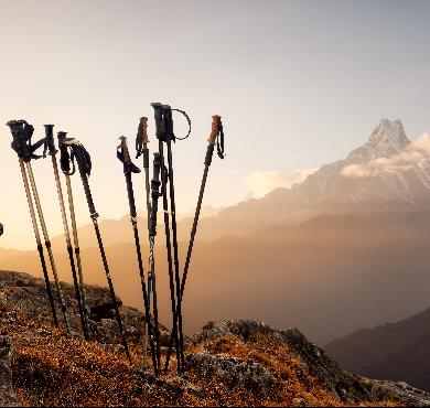
🏔️ When to go and how to prepare for these trails?
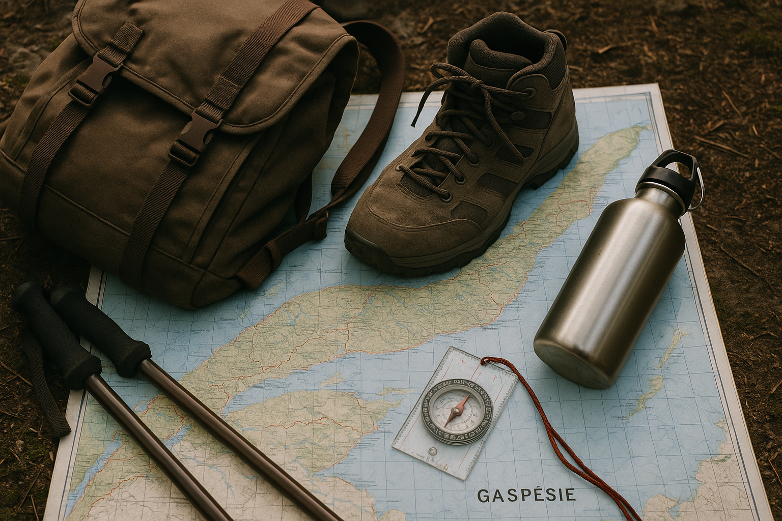
The ideal season to explore hiking trails in Gaspésie extends from June to September, with a preference for July and August when conditions are most stable. In June, you may still encounter snow on the summits, but it's also the period when waterfalls are most impressive thanks to the melt. September offers extraordinary autumn colors, but days get shorter and weather becomes more unpredictable.Essential equipment
- Multiple layers: temperature varies enormously with altitude
- Rain gear and windbreaker: weather changes quickly in the mountains
- Sturdy hiking boots: trails can be rocky and wet
- Sun protection: exposure is intense on summits
- First aid kit: you're often far from everything
💡 Pro tip — Weather in Gaspésie can change in minutes. I've experienced 15°C variations in one hour on Mont Jacques-Cartier. Prepare for all scenarios.
For specialized equipment, I always recommend consulting a buying guide to choose your boots and properly prepare before departure.
🚗 Logistics and accommodation: organizing your stay well
Planning a hiking stay in Gaspésie requires some organization, especially if you want to maximize your time on trails. The region is vast and distances between sectors can be significant. Sainte-Anne-des-Monts makes an excellent base for exploring the Chic-Chocs. You'll find all services there (grocery, pharmacy, outdoor equipment) and it's only 45 minutes from Parc de la Gaspésie. For the Forillon sector, Gaspé or Cap-aux-Os are perfectly located. The advantage of Cap-aux-Os is that you can literally start from the village for certain trails.Accommodation options
- Camping in parks: the most economical and authentic option
- Inns and B&Bs: perfect for comfort after effort
- Rental chalets: ideal for groups or families
- Wild camping: allowed in certain sectors with permits
📌 Good to know — Book your accommodation in advance, especially in July-August. Gaspésie is very popular and options fill up quickly.
🌟 My three bonus favorites for adventurers
If you have extra time and want to get off the beaten path, here are my three secret recommendations: Sentier de la Lucarne in the Murdochville sector offers a 14 km hike with breathtaking views of the mining mountains. It's less known, so wilder. Traversée des Chic-Chocs is a multi-day challenge for experienced hikers. 65 km of pure happiness in complete autonomy. I keep unforgettable memories of it. Sentier côtier de l'Anse-à-Valleau combines hiking and marine observation. Sunsets there are breathtaking, and it's an excellent spot to see seals.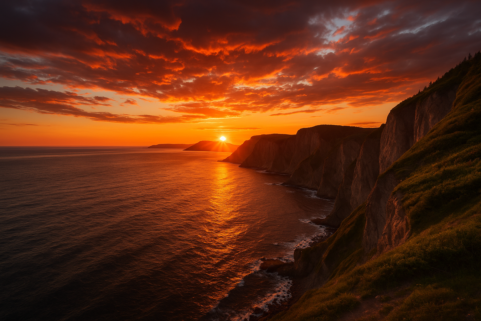
🐻 Safety and wildlife: hiking with peace of mind
Gaspésie is home to diverse wildlife, including black bears. In 15 years of hiking in the region, I've encountered bears three times, and each time, the encounters went well because I was prepared. Bear precautions:- Make noise while walking, especially in dense areas
- Store your food in airtight containers
- If camping, hang your food away from your site
- In case of encounter, stay calm and back away slowly
⚠️ Warning — Always inform someone of your itinerary and expected return time. Cell service doesn't reach everywhere in Gaspésie.
To learn more about hiking safety, check out my guide on mistakes to avoid while hiking.
📸 Capturing the magic: mountain photography tips
Gaspésie offers exceptional photographic opportunities. After hundreds of outings with my camera, here are my tricks for bringing back memorable images: Golden hour is magical on summits. Get up early for sunrises — the light on the Chic-Chocs is extraordinary. Sunsets from Forillon cliffs are equally spectacular. Play with scales by including hikers in your compositions. It gives perspective on the grandeur of Gaspésie landscapes. Don't forget details: moss on rocks, dew drops, alpine flowers. These micro-landscapes also tell the story of your adventures.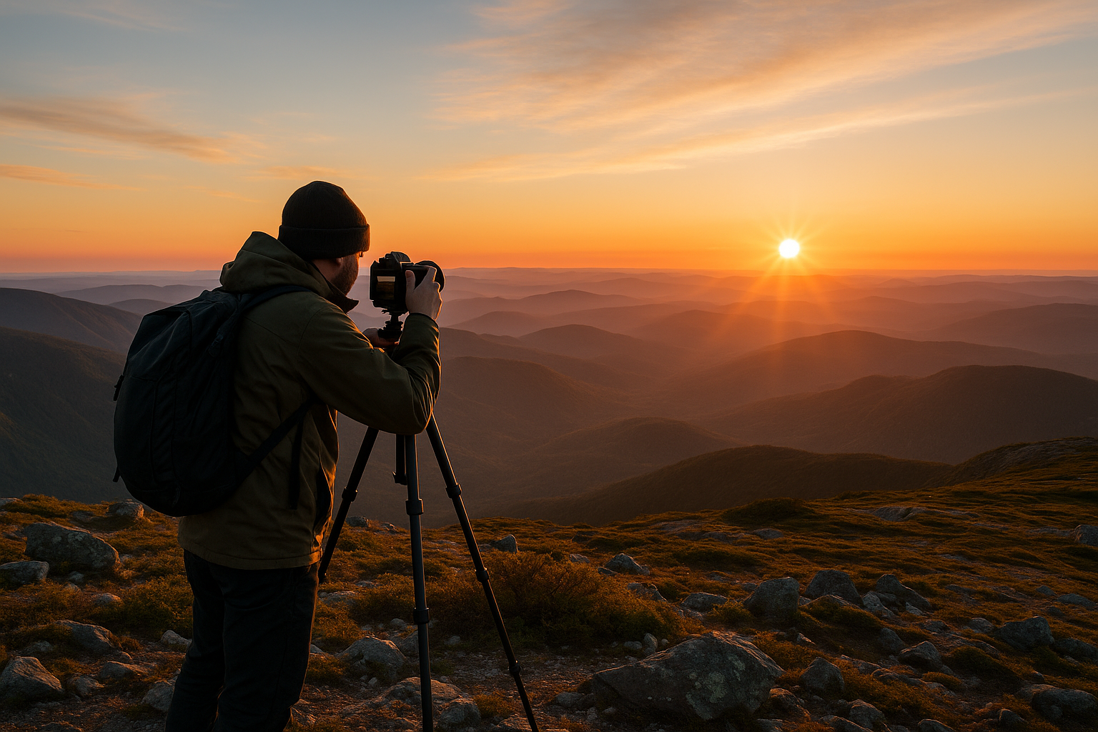
🎒 Ready to discover Gaspésie?
Gaspésie is much more than a hiking destination — it's an infinite playground for all those who love true wild nature. Here's what to remember:- Incredible diversity: from arctic summits to marine cliffs, each trail offers a unique experience
- Essential preparation: weather changes quickly, equip yourself accordingly
- Wildlife respect: caribou, bears and other inhabitants deserve our respect
- Optimal season: July-August for the most stable conditions
- Important planning: book accommodation and permits in advance
Newsletter
Content that makes you want to go outside
Every week, a trail idea, a reflection on nature, or a tip worth the detour. Zero spam. Only the essentials.
Joined by 12,000+ outdoor enthusiasts
Read next