
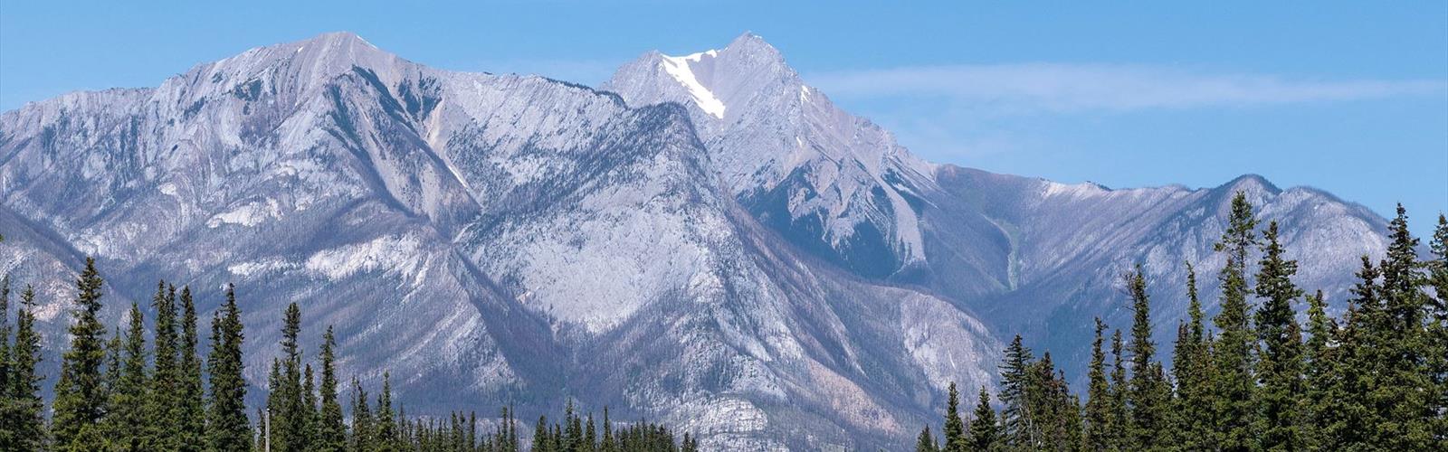

Ready to explore Morro Peak? Here's everything you need to know before you go!
Discover the trail
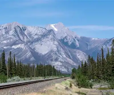
Trail description
Morro Peak is one of those hikes in Alberta's northern Rockies that earns its reputation through honest effort and genuine reward. At 10.5 km round trip with 420 meters of elevation gain, it sits firmly in the hard category — not because the terrain is technical, but because the sustained climb demands real fitness and a steady pace. Budget around 5.5 hours for the full experience, and you'll have enough time to move at a comfortable rhythm without feeling rushed at the top.
The Trail Experience
The hike starts by pulling you into dense montane forest, the kind where spruce and fir close in overhead and the trail underfoot stays soft and quiet. This lower section has a way of easing you into the day — the grade is manageable, the shade is welcome, and the forest itself gives you something to pay attention to beyond just putting one foot in front of the other. Early morning hikers often catch elk or deer moving through this section, so it's worth slowing down and keeping your eyes open rather than powering straight through.
As you gain elevation, the forest starts to thin and the character of the trail shifts. The trees become more scattered, the sky opens up, and you begin to get your first real sense of the terrain ahead. This transition zone is where the hike starts to feel like a genuine mountain climb rather than a forest walk. The views begin to build here, giving you something to look forward to with each switchback.
Higher up, the trail moves through subalpine terrain where the landscape opens considerably. The meadows in this zone offer natural spots to stop, catch your breath, and take in the surrounding ridgelines. The wildflower displays in late June and July can be impressive in these open areas, with color spread across the slopes in a way that makes the extra effort to reach this elevation feel worthwhile.
Summit Views
The summit of Morro Peak delivers expansive views across the valleys and ridges that define this part of the Canadian Rockies. The panorama stretches in multiple directions, giving you a clear sense of the scale of the mountain landscape surrounding you. There are several natural vantage points near the top, so it's worth taking a few minutes to move around and find the angles that work best rather than stopping at the first open spot you reach.
The summit is a solid place to take a proper break — eat something, drink water, and let yourself actually absorb where you are before heading back down. The descent on a trail like this can be harder on the knees than the climb, so arriving at the top without being completely spent makes the return trip more comfortable.
Planning Your Hike
Mountain weather in Alberta's northern Rockies moves fast, and Morro Peak is no exception. Afternoon thunderstorms are a real possibility during the summer hiking season, which makes an early start the smartest move you can make. Getting on trail by 7 or 8 in the morning puts you on the summit well before the weather window typically closes, and it also means a quieter experience overall.
Layering is essential. The temperature difference between the trailhead and the summit can be significant, and wind exposure increases considerably once you're above the treeline. A waterproof shell should be in your pack regardless of how clear the morning looks when you leave. Bring more water than you think you need — the sustained elevation gain and dry mountain air will push your fluid requirements higher than a flat trail of the same distance would.
The trail is generally well-marked, but carrying a map and knowing how to use it is always a good habit in mountain terrain. Cell service in this region can be unreliable, so don't count on your phone for navigation if conditions change.
Seasonal Considerations
The reliable hiking window for Morro Peak runs from roughly late June through September. Earlier in the season, snow patches can persist at higher elevations and make the upper sections of the trail slippery or difficult to follow. Late season brings the possibility of early winter weather arriving quickly, so anyone hiking in September should check forecasts carefully and be prepared for cold temperatures at elevation.
July and August offer the most stable conditions and the longest daylight hours, making them the most popular months on the trail. If you're hiking during peak summer, an early start also helps with parking and gives you a more solitary experience on the upper sections of the trail.
What to Know Before You Go
- Distance: 10.5 km round trip
- Elevation gain: 420 m
- Difficulty: Hard
- Estimated time: 5.5 hours
- Best season: Late June through September
- Start early to avoid afternoon thunderstorms and secure parking
- Bring layers — temperature drops significantly with elevation gain
- Carry extra water — the sustained climb increases fluid needs
Morro Peak is the kind of hike that asks something real of you and gives something real back — a full day in genuine mountain terrain with views that justify every meter of climbing.
The Essential Hiking Checklist
Everything you need for your next hike. Bilingual, printable, 1 page.
Get your free hiking checklistRecommended gear for this trail
As an Amazon Associate I earn from qualifying purchases.


Ready to go?
Everything you need to know before you goStarting Point
The morro peak trails are located in the Kananaskis Country area of Alberta. To get to the start of the trails, take Highway 40 south from Calgary and turn left onto the Smith-Dorrien Trail (Highway 742). The trailhead is located about 26 km from the turnoff.
When?
How much?
As an Amazon Associate I earn from qualifying purchases.
Affiliate links — LGPO may earn a commission at no extra cost to you.
- Hiking shoes Essential
- → Salomon Elixir Tour Mid WP · 203.38 $
- Layered clothing Essential
- Rain jacket Essential
- Trekking poles
- → Black Diamond Trail Ergo Cork · 69.99 $
- Headlamp
- → Petzl Actik Core 625 · 103.95 $
FAQ - Frequently asked questions
Everything you need to knowSimilar hikes nearby
Discover other trails you might enjoy
Fossil Mountain
Canadian Rockies

Snake Indian Mountain
Canadian Rockies
Mushroom Peak
Canadian Rockies
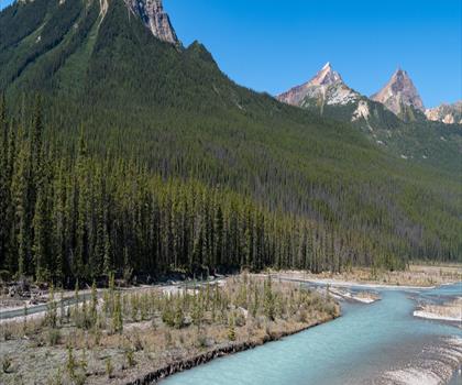
Mount Woolley
Canadian Rockies
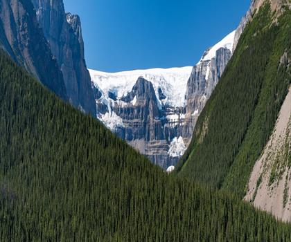
Stutfield Peak
Canadian Rockies
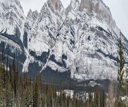
Mount Sarbach
Canadian Rockies
Hiking near Jasper
82 trails to explore ~18 km away
We work hard to provide the most up-to-date and error-free data possible. If something seems incorrect, let us know! Your contribution helps the whole community.
Hikers' opinions
Be the first to review!
No hiker has shared their experience yet. Share your impressions and help other hikers!