

Ready to explore Maligne Canyon? Here's everything you need to know before you go!
Discover the trail
Trail description
{
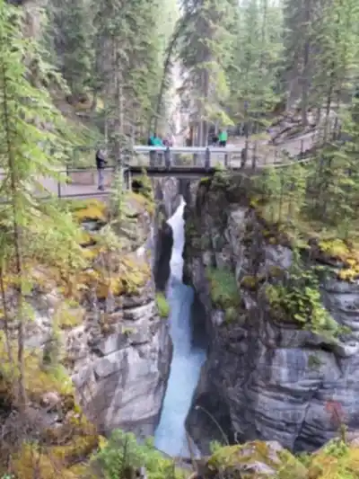
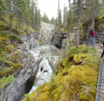
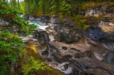
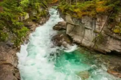
"location_distance": "Located in Jasper National Park, this dramatic gorge represents the deepest canyon in the Canadian Rockies, carved over millennia by the persistent flow of the Maligne River.",
"elevation_note": "The elevation gain varies depending on route: approximately 50 meters for the main interpretive loop, or up to 185 meters if extending to the Sixth Bridge."
}
Recommended gear for this trail


Ready to go?
Everything you need to know before you goStarting Point
The maligne canyon is located in Jasper National Park, Alberta. The easiest way to get there is to drive from Edmonton, Alberta. Take Highway 16 west to Jasper and then follow the signs to the park. Once in the park, drive to the maligne canyon parking lot.
When?
How much?
- Hiking shoes Essential
- → Salomon Elixir Tour Mid WP · 203.38 $
- Layered clothing Essential
- Rain jacket Essential
- Trekking poles
- → Black Diamond Trail Ergo Cork · 69.99 $
- Headlamp
- → Petzl Actik Core 625 · 103.95 $
FAQ - Frequently asked questions
Everything you need to knowThe Essential Hiking Checklist
Everything you need for your next hike. Bilingual, printable, 1 page.
Download the free checklistSimilar hikes nearby
Discover other trails you might enjoy

Fossil Mountain
Canadian Rockies
Snake Indian Mountain
Canadian Rockies
Mushroom Peak
Canadian Rockies
Mount Woolley
Canadian Rockies
Stutfield Peak
Canadian Rockies
Mount Sarbach
Canadian Rockies
Hiking near Jasper
82 trails to explore ~8 km away
We work hard to provide the most up-to-date and error-free data possible. If something seems incorrect, let us know! Your contribution helps the whole community.
Hikers' opinions