
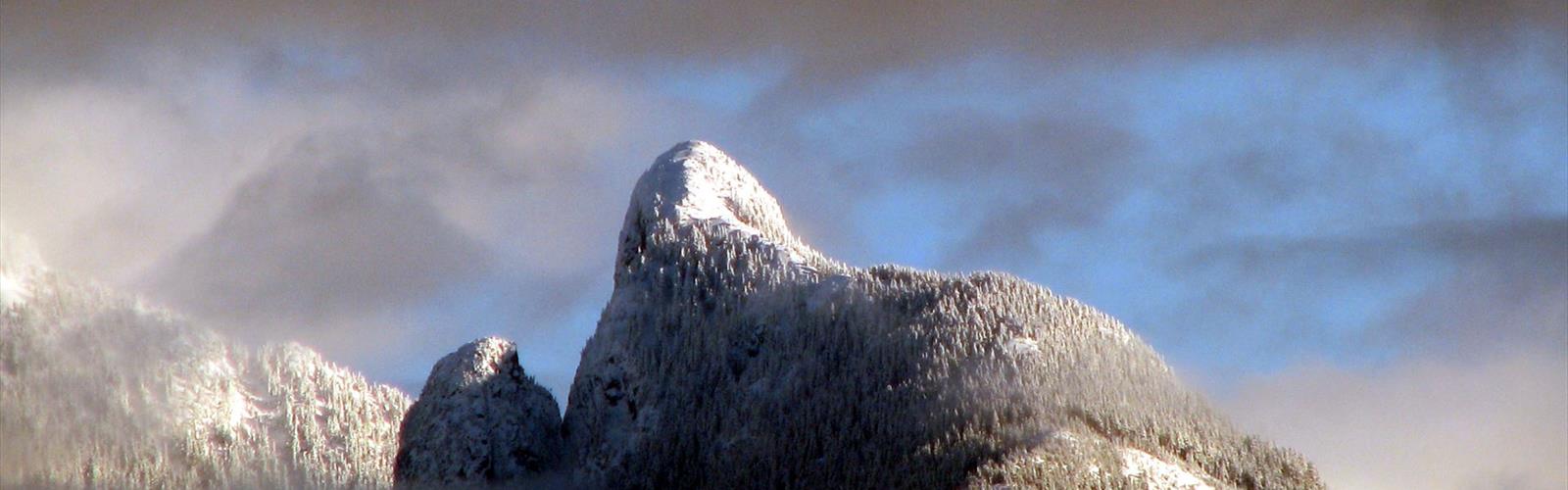

Ready to explore The Lions, British Columbia? Here's everything you need to know before you go!
Discover the trail

Trail description
The Lions are two of the most recognizable peaks in all of British Columbia. Visible from Vancouver on a clear day, these twin summits rise dramatically above the North Shore mountains and have become iconic symbols of the region. For hikers willing to put in serious effort, reaching the base of The Lions — or pushing all the way to the top — is one of the most rewarding objectives in the Vancouver Coast Mountains.
The Peaks and Their Character
The Lions consist of two distinct rocky summits: the West Lion and the East Lion. The West Lion is the one most hikers aim for, as it involves a genuine scramble to the top and rewards with sweeping views in every direction. The East Lion is a technical rock climb and is generally not accessible to hikers without climbing gear and experience. Even from the col between the two peaks, the exposure and scale of the terrain make a strong impression.
These summits are not a casual outing. The approach is long, the elevation gain is significant, and the final push to the West Lion summit involves hands-on scrambling over steep rock. That said, experienced hikers who are comfortable with exposure and basic scrambling will find the challenge entirely manageable with proper preparation.
The Trail Experience
The most common approach to The Lions starts from Lions Bay, a small community along Howe Sound. The trail climbs steadily through dense coastal forest before breaking out into more open subalpine terrain as you gain elevation. The forest section is lush and well-shaded, typical of the wet Pacific Coast environment, with towering conifers and a thick understory.
As the trail gains height, the trees thin out and the views begin to open up. Howe Sound comes into view below, with its deep blue water and surrounding peaks creating a dramatic backdrop. The approach to the base of The Lions passes through rocky alpine terrain where the scale of the two summits becomes fully apparent for the first time.
The final scramble to the top of the West Lion is the crux of the route. The rock is generally solid, but the exposure is real — this is not a place to be if you're uncomfortable with heights or if conditions are wet. Dry rock and stable weather are important factors when planning this trip.
What Makes This Hike Stand Out
What sets The Lions apart from other hikes in the Vancouver Coast Mountains is the combination of accessibility and genuine alpine character. You're not far from one of Canada's largest cities, yet the terrain feels remote and serious. The views from the summit of the West Lion are exceptional — on a clear day you can see across Howe Sound, deep into the Coast Mountains, and back toward the Lower Mainland.
The cultural significance of The Lions also adds a layer to the experience. The peaks have long held importance for the Squamish Nation, who know them as Ch'ich'iyúy Elxwíkn (the Twin Sisters). This connection to the land and its Indigenous history is worth keeping in mind as you make your way up.
Practical Information
- Trailhead access: The most commonly used trailhead is located in Lions Bay, accessible via Highway 99 north of Vancouver along Howe Sound.
- Scrambling required: Reaching the summit of the West Lion involves a hands-on scramble. Hiking poles are best stowed for this section. Helmets are recommended due to rockfall risk.
- Conditions matter: Wet rock significantly increases the difficulty and danger of the summit scramble. Check the forecast carefully before heading out.
- Early start recommended: This is a long day. Starting early gives you the best chance of stable weather, avoids afternoon thunderstorms in summer, and ensures you're not descending technical terrain in fading light.
- Navigation: The trail is generally well-traveled, but the upper mountain terrain requires attention. A map and the ability to read it are useful, especially in poor visibility.
- No technical gear needed for West Lion: The West Lion summit is achievable without ropes for confident scramblers. The East Lion is a different story entirely and requires rock climbing equipment.
Gear and Preparation
Given the length and elevation gain involved, solid footwear is essential — trail runners work for experienced hikers, but most people will be more comfortable in supportive hiking boots with good grip. Bring more water than you think you'll need, as there are limited reliable sources on the upper mountain. Layers are important; summit temperatures can be significantly cooler than at the trailhead, and wind exposure on the upper ridge is real.
Sun protection matters on the open upper terrain, and a headlamp should always be in your pack for a hike of this length in case your timing runs long. A first aid kit and emergency shelter round out the essentials for a day like this.
Who This Hike Is For
The Lions is best suited to hikers who already have a solid base of experience in the mountains. If you've done a number of long day hikes in the Coast Mountains and are comfortable on steep, rocky terrain, this is a natural next step. It's not the right choice for beginners or for anyone who hasn't built up to longer, more demanding objectives.
For those who want the experience without the summit scramble, hiking to the base of The Lions and taking in the views from the col is still a worthwhile and impressive destination in its own right.
Leave No Trace
The Lions see heavy traffic, particularly on summer weekends. Staying on established trails, packing out all waste, and avoiding trampling fragile alpine vegetation all help preserve the experience for everyone who comes after you. The subalpine and alpine zones are slow to recover from damage, so tread carefully once you're above the treeline.
The Essential Hiking Checklist
Everything you need for your next hike. Bilingual, printable, 1 page.
Get your free hiking checklistRecommended gear for this trail
As an Amazon Associate I earn from qualifying purchases.


Ready to go?
Everything you need to know before you goWhen?
How much?
As an Amazon Associate I earn from qualifying purchases.
Affiliate links — LGPO may earn a commission at no extra cost to you.
- Hiking shoes Essential
- → Salomon Elixir Tour Mid WP · 203.38 $
- Layered clothing Essential
- Rain jacket Essential
- Trekking poles
- → Black Diamond Trail Ergo Cork · 69.99 $
- Headlamp
- → Petzl Actik Core 625 · 103.95 $
FAQ - Frequently asked questions
Everything you need to knowSimilar hikes nearby
Discover other trails you might enjoy
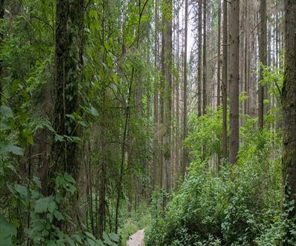
Bridle Path
Vancouver Coast Mountains
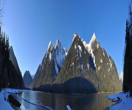
Flora Lake
Vancouver Coast Mountains

Alouette Mountain
Vancouver Coast Mountains

Williamson Lake
Vancouver Coast Mountains
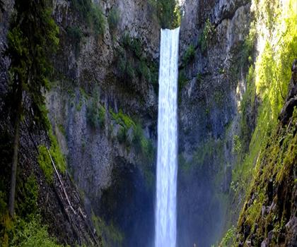
Brandywine Mountain
Vancouver Coast Mountains

Coliseum Mountain
Vancouver Coast Mountains
Hiking near Vancouver
235 trails to explore ~20 km away
We work hard to provide the most up-to-date and error-free data possible. If something seems incorrect, let us know! Your contribution helps the whole community.
Hikers' opinions
Be the first to review!
No hiker has shared their experience yet. Share your impressions and help other hikers!