
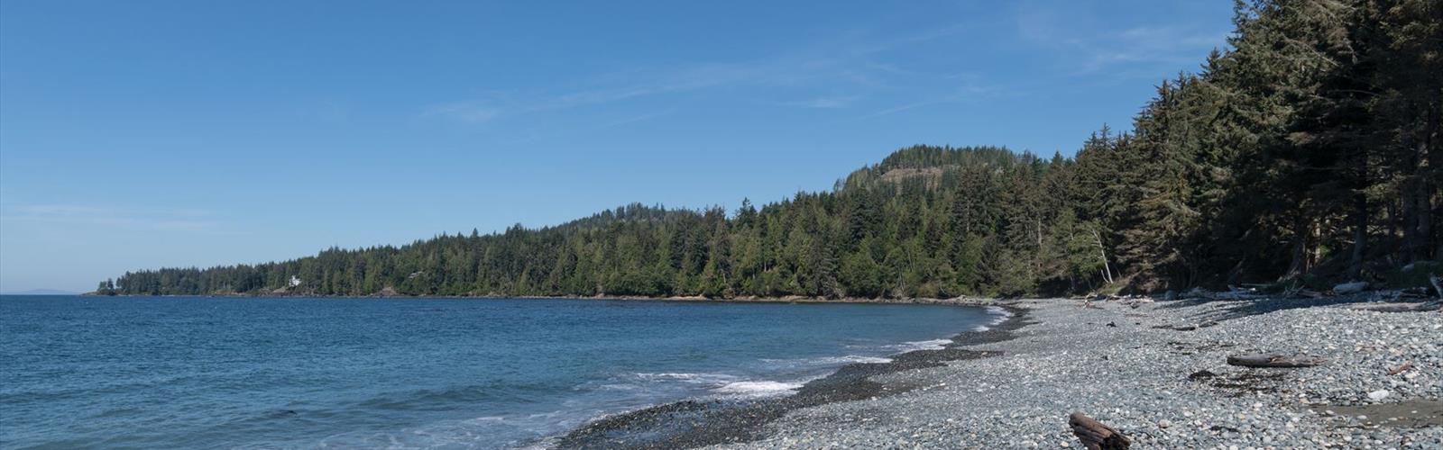

Ready to explore The Matterhorn? Here's everything you need to know before you go!
Discover the trail
Trail description
The Matterhorn is a hiking destination located in the Vancouver Coast Mountains region of British Columbia, Canada. Tucked into one of the most dramatic mountain landscapes in the province, this trail draws hikers looking for a genuine alpine experience within reach of the Lower Mainland. The name alone sets expectations high — and the terrain delivers.
The Terrain
The route to The Matterhorn takes you through the kind of landscape that defines Coast Mountain hiking: dense forest giving way to open subalpine terrain, rocky scrambles, and sweeping views that reward the effort. The trail gains elevation steadily, moving through second-growth and old-growth forest before breaking out into more exposed alpine ground. Underfoot, expect a mix of rooted dirt trail, loose rock, and sections that require hands-on scrambling depending on conditions.
The upper reaches of the route are where the character of The Matterhorn really shows itself. The rocky summit area offers a 360-degree perspective on the surrounding peaks and valleys — the kind of view that makes you stop talking and just look. On a clear day, the scale of the Coast Mountains becomes fully apparent from up here.
What to Expect on the Trail
This is not a casual stroll. The Matterhorn demands solid fitness and some comfort with exposed, uneven terrain. Hikers should be prepared for route-finding in sections where the trail becomes less defined, particularly higher up. Trekking poles are useful, and proper footwear with ankle support is strongly recommended — trail runners can work for experienced hikers, but this is not the place to test out a new pair of sneakers.
The trail sees a mix of day hikers and more experienced scramblers. Most people who come here know what they're getting into, which keeps the vibe on trail pretty solid — people are generally focused, friendly, and moving with purpose. You're unlikely to feel crowded, but you're also unlikely to be completely alone on a summer weekend.
Getting There
Access to The Matterhorn follows the typical pattern for trails in the Vancouver Coast Mountains — a drive up a forest service road or highway corridor, followed by a trailhead that may or may not have formal parking infrastructure. Road conditions can vary significantly by season, and some access routes require a vehicle with reasonable clearance. It's worth checking current conditions before heading out, especially early or late in the season when snow can linger at elevation or roads may not yet be fully passable.
Cell service is limited or nonexistent once you're in the mountains, so download offline maps before you leave. A GPS app with offline maps downloaded is a useful backup to a paper topo.
Seasonality and Conditions
The window for hiking The Matterhorn in good conditions typically runs from mid-summer through early fall, when snow has cleared from the upper sections and the alpine terrain is accessible. Earlier in the season, snowpack can make navigation difficult and increase avalanche or slip risk on steep slopes. Later in fall, early snowfall can return quickly at elevation.
Weather in the Coast Mountains changes fast. A morning that starts clear can turn to cloud, rain, or even snow at summit elevation within a few hours. Layering is essential — bring a waterproof shell regardless of the forecast, and pack more insulation than you think you'll need. The summit area is exposed and wind can be significant even on days that feel warm at the trailhead.
What Makes This Hike Worth It
The Matterhorn stands out in the Vancouver Coast Mountains for the quality of its alpine experience relative to its accessibility from the Lower Mainland. You're not driving eight hours to reach remote wilderness — but once you're up on the ridge, it genuinely feels like you've earned your way into a different world. The rocky summit, the open sky, the views across the range — it's the kind of hike that reminds you why people do this in the first place.
Wildlife sightings are possible throughout the route. The subalpine and alpine zones of the Coast Mountains support populations of black bear, marmot, and various raptors. Keep your eyes open and your food secured.
Practical Tips
- Start early. Afternoon thunderstorms are common in summer, and you want to be off exposed terrain before they roll in. An early start also means cooler temperatures for the climb.
- Bring more water than you think you need. Water sources on alpine routes can be unreliable depending on the season. Carry a filter as backup if you plan to rely on streams.
- Tell someone your plan. Leave a trip plan with a contact who knows when to expect you back. This is standard practice for any backcountry or alpine day hike in BC.
- Check AdventureSmart BC and local trail reports before heading out for current conditions, recent wildlife activity, and any trail closures.
- Pack the ten essentials. Navigation, sun protection, insulation, illumination, first aid, fire starting, repair tools, nutrition, hydration, and emergency shelter. No exceptions on a route like this.
- Leave No Trace. Pack out everything you pack in. The alpine ecosystem here is fragile — stay on established trail where possible to avoid damaging vegetation.
Who This Hike Is For
The Matterhorn is best suited to hikers with previous experience on mountain terrain — people who are comfortable with elevation gain, route-finding, and the unpredictability of alpine weather. It's a step up from a groomed park trail, and that's exactly what makes it appealing to the right crowd. If you've done a handful of solid day hikes in the Coast Mountains and you're looking for something with more bite, this is a natural next step.
Beginners are better served building up on lower-elevation trails before tackling something with this kind of exposure and terrain complexity — not because The Matterhorn is extreme, but because the mountains reward preparation and punish overconfidence.
The Essential Hiking Checklist
Everything you need for your next hike. Bilingual, printable, 1 page.
Get your free hiking checklistRecommended gear for this trail
As an Amazon Associate I earn from qualifying purchases.


Ready to go?
Everything you need to know before you goWhen?
How much?
As an Amazon Associate I earn from qualifying purchases.
Affiliate links — LGPO may earn a commission at no extra cost to you.
- Hiking shoes Essential
- → Salomon Elixir Tour Mid WP · 203.38 $
- Layered clothing Essential
- Rain jacket Essential
- Trekking poles
- → Black Diamond Trail Ergo Cork · 69.99 $
- Headlamp
- → Petzl Actik Core 625 · 103.95 $
FAQ - Frequently asked questions
Everything you need to knowSimilar hikes nearby
Discover other trails you might enjoy
Sandbar Trail
Vancouver Island
Old Baldy Mountain Trail
Vancouver Island
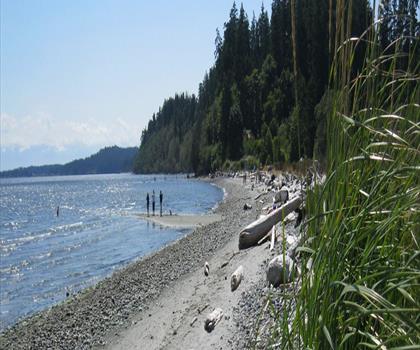
Wittys Lagoon
Vancouver Island

Mount Cain
Vancouver Island
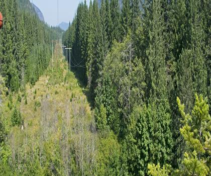
Kings Peak
Vancouver Island
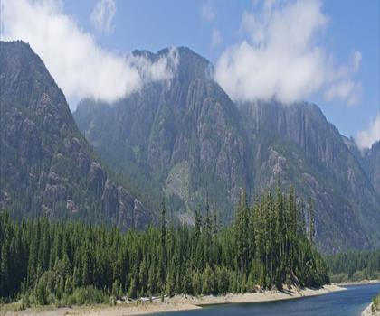
Buttle Lake
Vancouver Island
Hiking near Victoria
93 trails to explore ~42 km away
We work hard to provide the most up-to-date and error-free data possible. If something seems incorrect, let us know! Your contribution helps the whole community.
Hikers' opinions
Be the first to review!
No hiker has shared their experience yet. Share your impressions and help other hikers!