
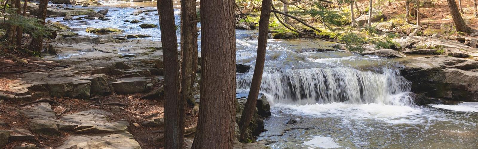
Ready to explore Falling Brook? Here's everything you need to know before you go!
Discover the trail
Trail description
Falling Brook is one of those waterfall destinations along Nova Scotia's Glooscap Trail that earns its reputation quietly — no crowds, no hype, just a genuinely rewarding hike through Maritime forest to a cascade worth the trip. The trail is rated easy and suits a wide range of hikers, from families with young kids to anyone looking for a low-key day out in nature.
The path winds through mixed forest typical of this corner of Nova Scotia, where a blend of deciduous and coniferous trees forms a canopy that keeps things cool and shaded on warm summer days. One of the small pleasures of this hike is that you hear the waterfall before you see it — the sound of water moving over rock filters through the trees and pulls you forward. The approach builds anticipation naturally, with brief glimpses of the brook through the forest before the full view opens up.
The Waterfall
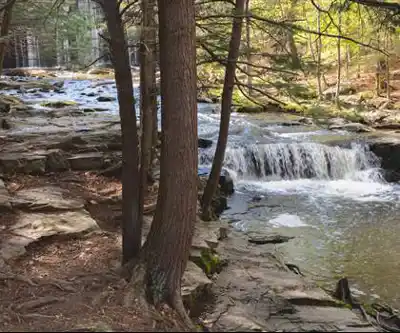
Falling Brook's cascade drops over moss-covered rock in a way that shifts noticeably with the seasons. Spring runoff and post-rain conditions push the flow up considerably, turning the falls into something more dramatic. By summer, the water settles into a steadier, gentler pour that lets you appreciate the rock formations underneath and the vivid green moss that thrives in the constant mist zone around the base.
The viewing area near the falls gives you solid angles for photography and a natural place to stop and take it all in. The rocks along the brook's edge work well as informal seating — a good spot to eat lunch or a snack while the sound of the water does its thing.
Terrain and Trail Conditions
The trail gains roughly 100 meters of elevation over the course of the hike, but the grade is gentle enough that it never feels like a slog. There are no technical sections, no scrambling, and no route-finding puzzles — the path is well-marked and straightforward throughout.
That said, the terrain does ask for some attention. Root systems cross the trail in places, and rocky sections show up periodically, both of which get slippery when wet. Waterproof hiking boots are a smart call, especially in spring or after rain. The trail surface shifts between packed earth, exposed roots, and rock — standard stuff for Maritime forest trails, but worth knowing before you show up in road shoes.
Winter changes the character of the hike significantly. Ice can develop on the trail and around the waterfall area, and the cascade itself may freeze into formations that look completely different from the warmer-season version. Microspikes or other traction devices are worth bringing if you're visiting between December and March.
Wildlife and Forest
The mixed forest around Falling Brook supports a variety of bird species, and the waterfall doesn't seem to push them away — hikers regularly notice good bird activity even close to the falls. Songbirds move through the canopy throughout the day, and raptors occasionally pass overhead. Early morning and late afternoon tend to be the most active windows for wildlife generally, and the light at those times is better for photography too.
Wildflowers appear along the trail edges and in clearings during late spring and early summer. The moss communities around the waterfall itself form their own small ecosystem, thriving in the consistent moisture and shade that the falls create.
Planning Your Visit
Falling Brook sits along the Glooscap Trail, which makes it easy to pair with other stops in the region if you want to build a longer day. The trailhead is accessible and the well-marked path keeps navigation simple, so you can spend your energy on the hike itself rather than checking a map every few minutes.
Good footwear with solid traction is the most important gear consideration, particularly around the wet rocks near the waterfall. The area around the brook offers pleasant spots for a picnic, making this a natural half-day destination. Pack out everything you bring in — the low-traffic nature of this spot is part of what keeps it worth visiting.
Weather along the Glooscap Trail can shift quickly, so carrying a rain layer is a reasonable habit even when the forecast looks clear. The forest canopy offers some shelter, but a proper rain jacket will serve you better than relying on the trees if a system moves through during your hike.
If you're bringing kids, the waterfall area is the main spot to keep an eye on them — wet rocks near moving water call for a bit of extra attention, but nothing about this trail is beyond what a family with young hikers can handle comfortably.
Everything you need for your next hike. Bilingual, printable, 1 page.
Get your free hiking checklistRecommended gear for this trail
As an Amazon Associate I earn from qualifying purchases.


Ready to go?
Everything you need to know before you goStarting Point
The trails at the falling brook in Nova Scotia can be accessed from the Trans-Canada Highway. Take exit 5 and drive north on Highway 215 for about 4 kilometers. The entrance to the park will be on the left.
When?
As an Amazon Associate I earn from qualifying purchases.
Affiliate links — LGPO may earn a commission at no extra cost to you.
- Hiking shoes Essential
- → Salomon Elixir Tour Mid WP · 203.38 $
- Layered clothing Essential
- Rain jacket Essential
- Trekking poles
- → Black Diamond Trail Ergo Cork · 69.99 $
- Headlamp
- → Petzl Actik Core 625 · 103.95 $
FAQ - Frequently asked questions
Everything you need to knowOutings near Falling Brook
Discover other trails you might enjoy

Drysdale Falls
Northumberland Shore · 13.1 km away
Gully Lake
Northumberland Shore · 14.2 km away
Mountain Road
Northumberland Shore · 22.6 km away
Wentworth Falls
Northumberland Shore · 26.3 km away
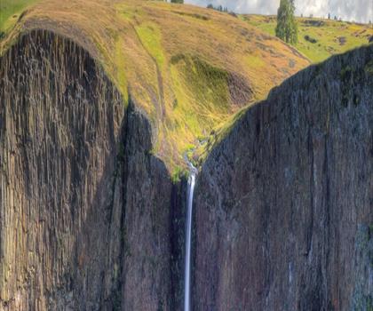
Phantom Falls
Eastern Shore · 48.7 km away
Shubenacadie Provincial Wildlife Park
Bay of Fundy & Annapolis Valley · 48.9 km away
Hiking near Truro
75 trails to explore ~17 km away
We work hard to provide the most up-to-date and error-free data possible. If something seems incorrect, let us know! Your contribution helps the whole community.
Hikers' opinions
Be the first to review!
No hiker has shared their experience yet. Share your impressions and help other hikers!