
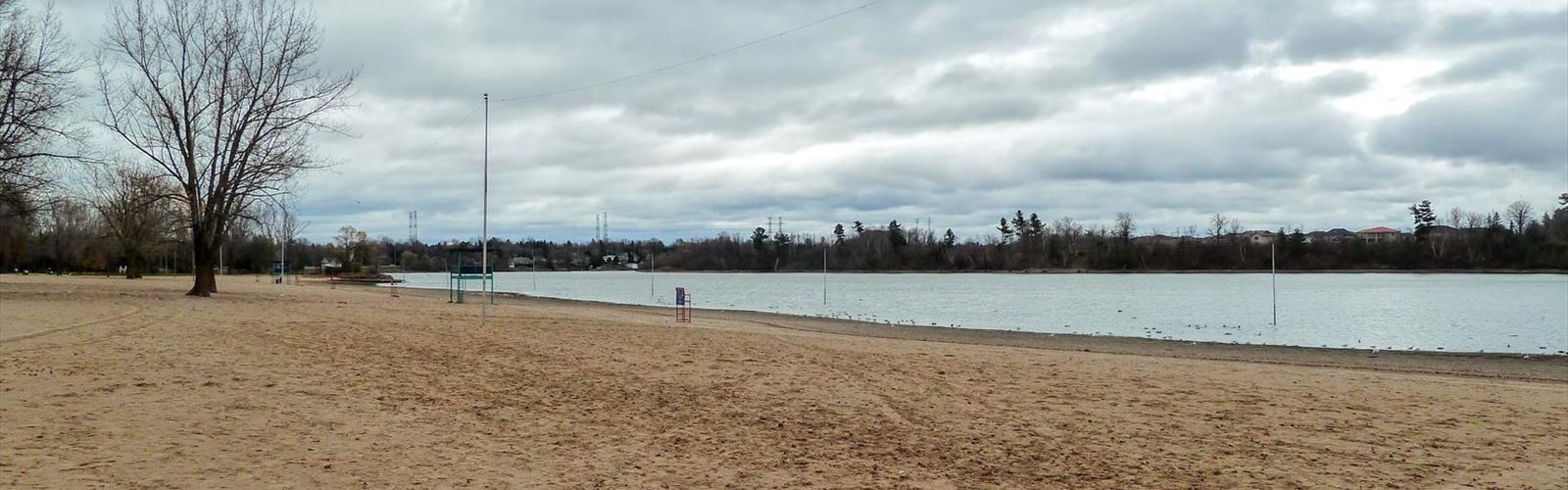

Ready to explore Mooneys Bay Park? Here's everything you need to know before you go!
Discover the trail
Trail description
Mooney's Bay Park is one of Ottawa's most beloved green spaces, sitting right along the Rideau River in the south end of the city. It's the kind of place where you can show up for a walk and end up staying way longer than planned — partly because the setting is genuinely beautiful, and partly because there's just a lot going on around you. Families, joggers, cyclists, people walking their dogs along the water — it's a lively spot without ever feeling overwhelming.
The Setting
The park hugs the western shore of Mooney's Bay, a wide, calm stretch of the Rideau River. The waterfront is the clear highlight here — you get long, open views across the water, and the combination of the river, the sandy beach, and the mature trees lining the paths makes for a really pleasant atmosphere. It doesn't feel like a typical urban park. There's enough green space and natural buffer that once you're in it, the city fades into the background.
The terrain is flat and accessible throughout, which makes this a great option for people who want to get outside without dealing with elevation or technical footing. The paths are well-maintained and easy to navigate, and the whole area is very family-friendly.
What to Expect on the Trails
The trail network at Mooney's Bay Park connects naturally with Ottawa's broader multi-use pathway system, including the Rideau River Eastern Pathway and the NCC (National Capital Commission) recreational paths. This means you can easily extend your outing in either direction along the river if you want more distance — heading north toward Hog's Back Falls or continuing along the Rideau corridor.
The paths within the park itself wind through open grassy areas, along the waterfront, and through pockets of mature trees. It's a relaxed, easygoing experience — more of a scenic stroll than a workout, but that's exactly what makes it appealing for a wide range of visitors. You're not here to push your limits; you're here to enjoy the surroundings.
The beach area is a focal point in warmer months, and the paths near the water are particularly nice for a morning walk when things are quieter. Later in the day, especially on weekends, the park gets busier — which adds energy but also means you'll be sharing the paths with cyclists, rollerbladers, and plenty of foot traffic.
Nearby Landmarks and Connections
One of the things that makes Mooney's Bay Park worth visiting is its proximity to Hog's Back Falls, just a short distance upstream. The falls are a dramatic natural feature where the Rideau River drops over a rocky ledge — a genuinely impressive sight, especially in spring when water levels are high. Many people combine both spots into a single outing, walking or cycling between them along the riverside path.
The park is also adjacent to Carleton University, which means the surrounding area has good amenities and is easy to reach from multiple parts of the city. The NCC maintains the pathways in this corridor, so trail conditions are generally reliable year-round.
Facilities and Amenities
Mooney's Bay Park is well-equipped compared to many natural areas. The park includes:
- A supervised sandy beach (seasonal)
- Picnic areas and green space for relaxing
- Washroom facilities
- Parking on site
- A water park and play structures for kids
- Access to the NCC multi-use pathway network
The beach is managed by the City of Ottawa and is supervised during the summer season. It's one of the few designated swimming beaches in the city, which makes the park a popular destination from late June through August.
Who It's Best For
Mooney's Bay Park works well for a wide range of people. If you're looking for a peaceful morning walk along the river, it delivers. If you're with kids and want somewhere with built-in entertainment beyond just the trail, the beach and play areas have you covered. If you're a cyclist or runner using the NCC pathway network, the park is a natural stopping point or turnaround spot.
It's also a solid choice for people who are new to getting outside or who want a low-key outdoor experience without committing to a full hike. The flat, accessible terrain means almost anyone can enjoy it comfortably.
Seasonal Considerations
The park is accessible year-round, though the experience changes significantly with the seasons. Summer is peak time — the beach is open, the paths are busy, and the waterfront is at its most vibrant. Spring and fall offer a quieter version of the same scenery, with the added bonus of fewer crowds and, in autumn, some solid fall colour along the river corridor. Winter brings a different kind of appeal: the NCC pathways in this area are maintained for cross-country skiing and fat biking in some sections, and a walk along the frozen or snow-covered riverbank has its own quiet charm.
Getting There
Mooney's Bay Park is located in the south end of Ottawa, easily reachable by car, bike, or public transit. There is on-site parking available, and the park is directly connected to the NCC recreational pathway network, making it a natural destination for anyone already out on the paths. The area is well-signed and straightforward to find.
Whether you're a local looking for a reliable spot to get outside on a weekday evening or a visitor wanting to see one of Ottawa's nicest stretches of the Rideau River, Mooney's Bay Park consistently delivers a quality outdoor experience in an accessible, well-maintained setting.
The Essential Hiking Checklist
Everything you need for your next hike. Bilingual, printable, 1 page.
Get your free hiking checklistRecommended gear for this trail
As an Amazon Associate I earn from qualifying purchases.


Ready to go?
Everything you need to know before you goWhen?
How much?
As an Amazon Associate I earn from qualifying purchases.
Affiliate links — LGPO may earn a commission at no extra cost to you.
- Hiking shoes Essential
- → Salomon Elixir Tour Mid WP · 203.38 $
- Layered clothing Essential
- Rain jacket Essential
- Trekking poles
- → Black Diamond Trail Ergo Cork · 69.99 $
- Headlamp
- → Petzl Actik Core 625 · 103.95 $
FAQ - Frequently asked questions
Everything you need to knowSimilar hikes nearby
Discover other trails you might enjoy
Andrew Haydon Park
Ottawa and Countryside

Jack Pine Trail
Ottawa and Countryside
Dow's Lake
Ottawa and Countryside
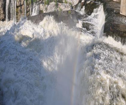
Prince of Wales Falls
Ottawa and Countryside
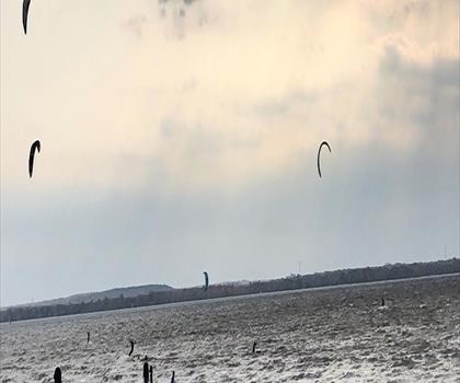
Sheila McKee Park
Ottawa and Countryside
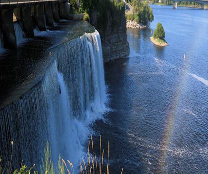
Rideau Falls
Ottawa and Countryside
Hiking near Ottawa
47 trails to explore ~6 km away
We work hard to provide the most up-to-date and error-free data possible. If something seems incorrect, let us know! Your contribution helps the whole community.
Hikers' opinions
Be the first to review!
No hiker has shared their experience yet. Share your impressions and help other hikers!