

Ready to explore Central Ontario Loop Trail? Here's everything you need to know before you go!
Discover the trail

Trail description
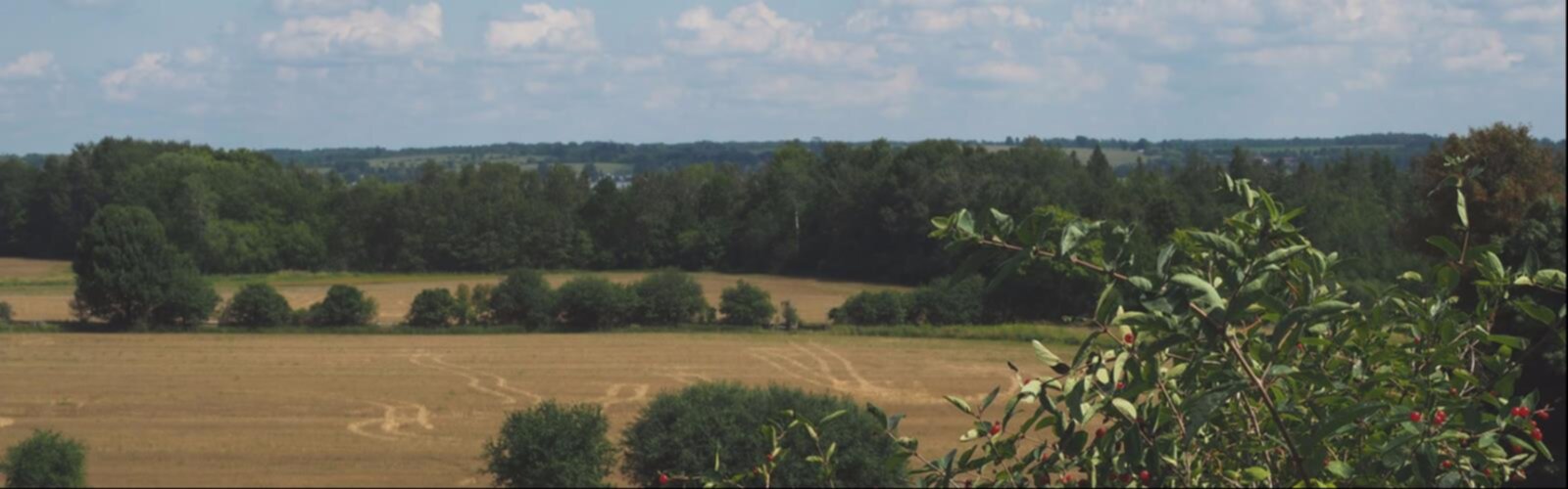
The Central Ontario Loop Trail is a long-distance hiking route that winds through the heart of Ontario, connecting communities, landscapes, and natural areas across the region. Designed as a loop, the trail offers hikers the opportunity to experience the diverse terrain and ecosystems that define central Ontario — from mixed forests and wetlands to open farmland and rocky outcrops typical of the Canadian Shield transition zone.
The Trail Experience
What sets the Central Ontario Loop Trail apart from point-to-point routes is exactly what its name suggests: it loops. That means you can pick up the trail at multiple access points and travel in either direction, making it flexible for day hikers, weekend backpackers, and long-distance trekkers alike. The route passes through a variety of landscapes that shift noticeably as you move through different sections, keeping the experience fresh even over multiple days on the trail.
Hikers can expect a mix of terrain underfoot — packed earth, rooted forest paths, open meadow crossings, and sections that follow old logging roads or rural concession lines. The trail corridor passes near small towns and villages, which provides natural resupply opportunities for those tackling longer sections.
Landscape and Natural Features
Central Ontario sits at an interesting ecological crossroads. As you hike the loop, you'll notice the landscape shifting between the flatter agricultural lands to the south and the more rugged, rocky terrain associated with the southern edge of the Canadian Shield to the north. This transition means the trail passes through a genuinely varied mix of habitats.
Mixed hardwood and conifer forests dominate much of the route, with stands of maple, birch, and poplar giving way in places to pine and spruce. Wetland areas and creek crossings are common, and these spots tend to be productive for wildlife watching. The trail corridor supports a wide range of bird species, making it a worthwhile route for birders as well as general hikers.
Rocky outcrops and exposed Shield geology appear in sections of the trail, offering open views and a distinctly different feel from the forested stretches. These spots are natural rest points and often provide some of the best vantage points along the route.
Access and Trail Infrastructure
As a loop trail, the Central Ontario Loop Trail has multiple entry points distributed around its circuit. This is one of its practical strengths — you're not locked into a single trailhead, and different sections of the loop can be accessed depending on where you're coming from or which part of the route you want to prioritize.
Signage and trail marking vary by section, as is common with long-distance routes that cross different land jurisdictions and are maintained by a combination of local clubs, municipalities, and trail organizations. It's worth checking current trail conditions and access information before heading out, particularly for sections that cross private land under trail agreements.
Planning Your Hike
The Central Ontario Loop Trail works well as a multi-day backpacking route for those wanting to cover significant distance, but individual sections are also well-suited to day hikes. Because the trail is a loop, you can plan out-and-back day hikes from any access point, or arrange a car shuttle to complete a linear section.
A few things worth keeping in mind when planning:
- Water sources: The trail passes near creeks and wetlands in many sections, but always carry enough water and a means of treating it — reliable water sources can be spaced out depending on the section you're hiking.
- Navigation: Download trail maps before you go and carry a physical backup. Cell service is inconsistent along rural and forested sections of the route.
- Land access: Portions of the trail cross private property under formal trail agreements. Stay on the marked route and respect any posted signage.
- Seasonal conditions: Spring can bring muddy conditions and high water at creek crossings. Fall offers excellent foliage but shorter daylight hours for longer sections.
Who This Trail Is For
The Central Ontario Loop Trail appeals to a broad range of hikers. Day hikers can sample individual sections without committing to the full loop, while experienced backpackers can plan multi-day itineraries that take in the full range of landscapes the route has to offer. The trail's loop format also makes it appealing for thru-hikers looking for a long-distance Ontario route that returns to its starting point.
Because the trail passes through working rural landscapes as well as natural areas, it offers a grounded, authentic look at central Ontario — not just the protected parks and conservation areas, but the broader countryside that connects them. That mix of wild and working land is part of what gives this trail its character.
Getting There
Access points for the Central Ontario Loop Trail are distributed across the loop's circuit through central Ontario. The trail passes near several communities in the region, making it reachable from multiple directions depending on where you're based. Check the most current trailhead information through local trail associations or the trail's official resources before your trip, as access points and parking availability can change.
Whether you're planning a single afternoon on a quiet forested section or a multi-day loop through the heart of Ontario's countryside, the Central Ontario Loop Trail delivers a genuine backcountry experience within reach of a large portion of the province's population.
The Essential Hiking Checklist
Everything you need for your next hike. Bilingual, printable, 1 page.
Get your free hiking checklistRecommended gear for this trail
As an Amazon Associate I earn from qualifying purchases.


Ready to go?
Everything you need to know before you goWhen?
How much?
As an Amazon Associate I earn from qualifying purchases.
Affiliate links — LGPO may earn a commission at no extra cost to you.
- Hiking shoes Essential
- → Salomon Elixir Tour Mid WP · 203.38 $
- Layered clothing Essential
- Rain jacket Essential
- Trekking poles
- → Black Diamond Trail Ergo Cork · 69.99 $
- Headlamp
- → Petzl Actik Core 625 · 103.95 $
FAQ - Frequently asked questions
Everything you need to knowSimilar hikes nearby
Discover other trails you might enjoy
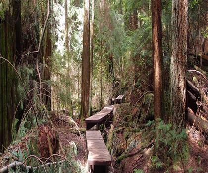
Lynn Valley Trails
Southwest Ontario
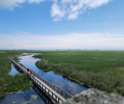
Point Pelee National Park High Point, Ontario
Southwest Ontario
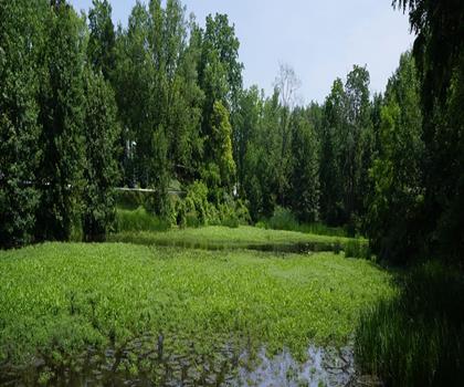
Oxford Thames River Trail
Southwest Ontario

Pinery Provincial Park
Southwest Ontario
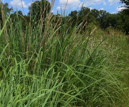
Ojibway Prairie Provincial Nature Reserve
Southwest Ontario
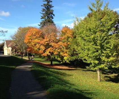
Springbank Park
Southwest Ontario
Hiking near Sydney
22 trails to explore ~7555 km away
We work hard to provide the most up-to-date and error-free data possible. If something seems incorrect, let us know! Your contribution helps the whole community.
Hikers' opinions
Be the first to review!
No hiker has shared their experience yet. Share your impressions and help other hikers!