
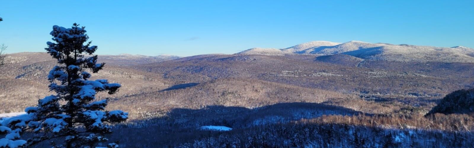

Ready to explore Mont Gorille? Here's everything you need to know before you go!
Discover the trail
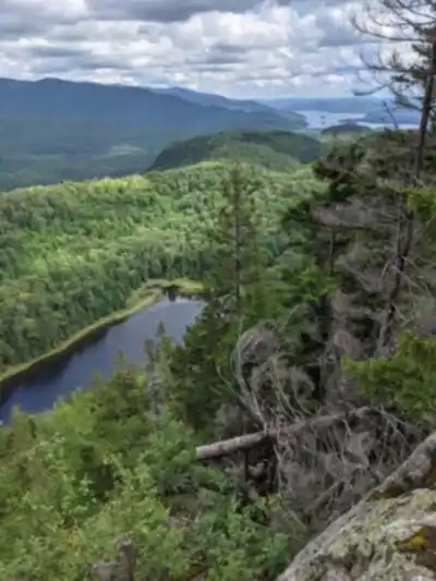
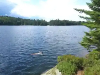
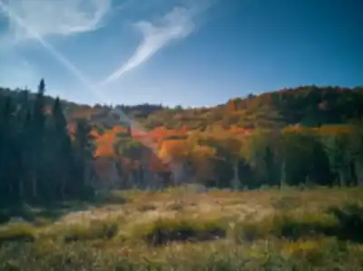
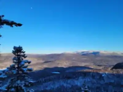
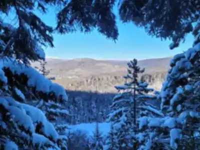
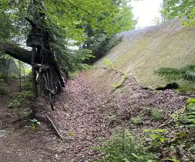
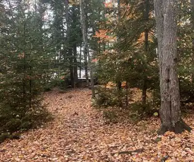
Photos: Marjorie Côté — Google Maps (Google Maps) Patrick Bouvier — Google Maps (Google Maps)
Trail description
Mont Gorille is a lesser-known hiking destination in Quebec's Laurentides region that rewards you with forest immersion, well-marked trails, and open summit views. With 48.5 km of trails, a 250 m elevation gain, and an easy difficulty rating, it's a place that works for a wide range of hikers — whether you're after a relaxed day in the woods or a longer outing that stretches into a full weekend.
What to expect on the trail
Hiking Mont Gorille means spending real time inside the Laurentides forest — dense canopy overhead, changing light filtering through the trees, and that particular quiet that only shows up when you're genuinely far from town. The terrain is forested for most of the climb, with the landscape gradually opening up as you gain elevation. That shift — from sheltered woodland to wider, breezier ground near the top — is one of the more satisfying parts of the experience.
The trails are well-marked, which makes a practical difference here. You can settle into your pace without constantly stopping to check your route. That freedom to just walk and look around is part of what makes the place feel easy to enjoy, even on a first visit.
The estimated time for a full outing is 12 hours 30 minutes, so this is best approached as a full-day commitment rather than a quick afternoon trip. Pack accordingly — water, food, and layers — and plan to take your time rather than rush through it.
Terrain and landscape
The setting is classic Laurentides: forested slopes, fresh air, and long stretches where the trees are the main feature. The lower sections of the trail are immersive and shaded, with that green, enclosed feeling that makes forest hiking feel like a different world from the trailhead parking lot. As you move higher, the tree cover thins and the views start to open up, giving you a clear sense of progress and a reason to keep going.
The 250 m elevation gain is moderate — enough to feel like you've worked for the summit, but not so demanding that it rules out less experienced hikers. The easy difficulty rating reflects a trail that's accessible without being flat or uninteresting.
Summit views
The payoff at the top of Mont Gorille is a sweeping panorama of the surrounding mountains and valleys. It's the kind of view that earns a longer break — sit down, drink some water, and actually look at what's in front of you. The Laurentides spread out in layers from up here, and on a clear day the depth of the landscape is genuinely impressive.
If you're into photography, the summit is worth spending time at. The open panorama gives you room to shoot from different angles, and the light shifts noticeably depending on the time of day you arrive.
Picnic at the top
The summit is a natural spot to stop for a meal. Bringing a packed lunch means you have a reason to linger rather than immediately turning around, and food genuinely tastes better when you've put in the effort to get somewhere. Even if a full picnic isn't your style, bring snacks — a long outing like this one calls for regular fuel, and the summit break is a good moment to recharge before heading back down.
Wildlife and nature
Mont Gorille sits within the Laurentides' broader ecosystem, which means the area supports rich biodiversity. On the trail, you have a reasonable chance of spotting deer, and the forest sections are active with various bird species. Wildlife sightings are never a guarantee, but moving at a relaxed pace and pausing in quieter sections — especially in the denser forest — gives you the best shot at noticing what's around you.
If you're hiking with kids or anyone who enjoys slowing down to observe, this is a good place for it. Even when animals stay out of sight, the signs of life in a forest like this are easy to pick up on if you're paying attention.
Fall hiking
Autumn is a particularly strong season at Mont Gorille. The foliage turns the forest into a mix of reds, oranges, and yellows, and the tree sections — which make up a significant portion of the trail — become a highlight rather than just the approach to the summit. Fall also adds depth to the summit view: layers of colour in the foreground, rolling hills beyond, and that crisp air that makes long hikes feel easier than they do in summer heat.
If a fall visit is on your radar, plan for photo stops well before you reach the top — the colour in the forest itself is worth slowing down for.
Nearby camping
For those who want more than a day trip, there are nearby camping options that let you extend the experience into an overnight stay. Camping alongside a hike at Mont Gorille changes the pace of the whole trip — you're not racing back to the car, and you get to experience the area in the early morning before other hikers arrive. Waking up to crisp mountain air in the Laurentides and heading out on trail again is a different experience from a day visit, and worth planning if your schedule allows.
Who this trail suits
Mont Gorille is rated easy and offers trails that work for a range of skill levels, from beginners getting their first real taste of Laurentides hiking to more experienced hikers who want a full-day outing without technical difficulty. The 48.5 km of trail means there's room to explore beyond a single route, and the well-marked network makes it straightforward to adapt your day based on energy, time, or who you're hiking with.
It's a solid choice when you want a place that delivers genuine forest and summit scenery without requiring specialized gear or advanced fitness — and the long trail network means repeat visits don't have to feel like the same hike twice.
Services and amenities
This information may vary by season.
The Essential Hiking Checklist
Everything you need for your next hike. Bilingual, printable, 1 page.
Get your free hiking checklistRecommended gear for this trail
As an Amazon Associate I earn from qualifying purchases.


Ready to go?
Everything you need to know before you goStarting Point
The trailhead is located near the mont gorille parking lot. It is also possible to go through the Cap 360 trail.
When?
How much?
As an Amazon Associate I earn from qualifying purchases.
Affiliate links — LGPO may earn a commission at no extra cost to you.
- Hiking shoes Essential
- → Salomon Elixir Tour Mid WP · 203.38 $
- Layered clothing Essential
- Rain jacket Essential
- Trekking poles
- → Black Diamond Trail Ergo Cork · 69.99 $
- Headlamp
- → Petzl Actik Core 625 · 103.95 $
FAQ - Frequently asked questions
Everything you need to knowSimilar hikes nearby
Discover other trails you might enjoy
Parc De La Rivière Doncaster
Laurentides

Parc Du Domaine Vert
Laurentides

Parc national d'Oka
Laurentides

Sommet Saint-Sauveur
Laurentides

Mont Condor
Laurentides

Montagne Du Dépôt Et Montagne Du Caribou
Laurentides
Hiking near Laval
97 trails to explore ~110 km away
We work hard to provide the most up-to-date and error-free data possible. If something seems incorrect, let us know! Your contribution helps the whole community.
Hikers' opinions
Be the first to review!
No hiker has shared their experience yet. Share your impressions and help other hikers!