

Ready to explore L'escapade - Les Sentiers Du Mont Rigaud? Here's everything you need to know before you go!
Discover the trail
Available trails
| TrailTrails | Dist.Distance | GainElevation | Est. timeEstimated time | Difficulty | GPX |
|---|---|---|---|---|---|
|
Beginner
|
1.4 km | 51 m | ≈ 23min | Beginner | |
|
Beginner
|
3.4 km | 75 m | ≈ 52min | Beginner | |
|
Beginner
|
2.6 km | 87 m | ≈ 43min | Beginner | |
|
Intermediate
|
2.9 km | 176 m | ≈ 55min | Intermediate | |
|
Intermediate
|
2.6 km | 134 m | ≈ 47min | Intermediate | |
|
Intermediate
|
13.5 km | 369 m | ≈ 3h30 | Intermediate |
Trail description
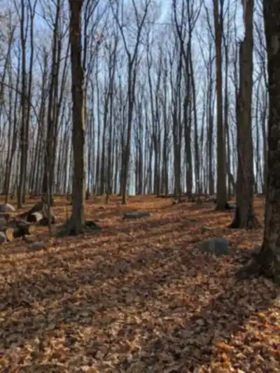
Les Sentiers de L'escapade is a trail network run by the Ville de Rigaud, in the Vaudreuil-Soulanges region. The town presents them as trails on the lesser-known slopes of the hill, with a panoramic view of the region, in a mature forest that offers both an exceptional natural environment and fragile ecosystems. They are open 365 days a year, from sunrise to sunset, and access to the trails and the parking lots is free.
The Hiking Trails
The town's map lists six summer hiking trails. Distances, elevation changes and difficulty levels are the ones the town publishes; the durations are the town's approximate figures.
- P8 au point de vue: 3.4 km, easy, 2 h, 75 m elevation change, starts at parking lot P8
- Parcours P2 à P8: 2.6 km, easy, 1 h 30, 87 m elevation change, starts at parking lots P2 and P8
- La Cavale: 1.4 km, easy, 45 min, 51 m elevation change, starts at parking lot P4
- La Clé des bois: 2.9 km, intermediate, 1 h 45, 176 m elevation change, starts at parking lots P1 and P2
- La Foulée du cerf: 2.6 km, intermediate, 1 h 45, 134 m elevation change, starts at parking lot P3
- Le Haut-Lieu: 13.5 km loop, intermediate, 4 h 30, 369 m elevation change, starts at parking lots P2, P4, P7 and P8
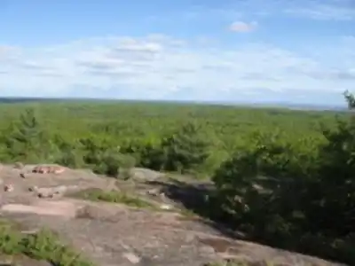
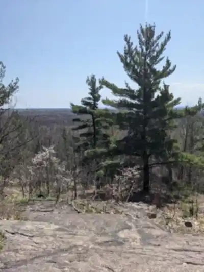
Le Haut-Lieu is the only loop on the list. The town describes it as having a varied surface, from packed earth or sand to gravel, with rocky sections, a few slopes of 10 to 12% and several observation points: marsh, swamps, a panoramic view and a variety of woodland. On La Clé des bois, it points out a steep, rocky climb at mid-route. The P8 au point de vue trail passes through a cedar stand, then a hardwood canopy; the town mentions a large swamp on the north side at mid-route and a panoramic viewpoint at the end of the trail.
Winter and Other Activities
According to the town's home page, the winter activities are winter hiking, cross-country skiing, snowshoeing and fat biking, and the summer activities are hiking and horseback riding. Two trails on the map, Le Coureur des bois (6.7 km) and Le Coureur des bois Nord (2.9 km), are listed for winter only. Le Haut-Lieu is also groomed for cross-country skiing and shared with hikers and fat bikes.
Access and Parking
Six numbered parking lots give access to the trails, and the town states that access to the parking lots is free: P1 (15 rue du Boisé-des-Franciscaines), P2 (115 chemin Bourget), P3 (240 chemin J.-René-Gauthier), P4 (100 chemin Saint-Georges), P7 (350 chemin de la Montée Neuve) and P8 (301 chemin Saint-Georges). P7 is accessible only from May to November. P8 is a private lot generously provided to the town by the Sucrerie de la montagne: from March 1 to April 30, the town asks visitors to use the municipal lots. According to its list, toilets are at P1, P2, P3, P4 and P8, and tables are at P1, P2, P3 and P7. Garbage cans are installed in every parking lot.
The printed map is available at every parking lot and at the Centre Infotouriste de Rigaud. The town also offers the map in the free ONDAGO mobile app, which can locate you even without cell coverage.
Rules
Dogs are accepted provided they are held at all times on a leash no longer than 1.85 metres; a dog over 20 kg must wear a harness or halter, and the owner must pick up its droppings. Motorized off-road vehicles, mountain biking and camping are prohibited. It is also prohibited to leave the marked trails, to light a fire or smoke in the forest, to hunt (including trapping) and to remove any natural element.
Safety
The trails are not patrolled regularly, and the town reminds visitors that each person is responsible for their own safety. There are no water points on the trails and cell coverage is deficient in places; the town advises bringing a map, a cell phone, water and food. A numbered red emergency post stands every 250 to 300 metres: in an emergency, call 9-1-1. The condition of the trails by activity is published on the town's "État des sentiers" page.
FREE GUIDE • PDF
25 hikes under 2 hours from Montreal, with drive time, distance and level.
Get my free guideGuide • checklist • taping videos • Sent by emailNewsletter optional
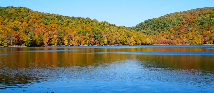
Photo: Jiaqian AirplaneFan, CC BY 3.0, via Wikimedia Commons
Services and amenities
Recommended gear for this trail
Affiliate links — LGPO may earn a commission at no extra cost to you. Disclosure
As an Amazon Associate I earn from qualifying purchases.


Ready to go?
Everything you need to know before you goStarting Point
Six numbered parking lots give access to the trails, all in Rigaud, Quebec J0P 1P0: P1, 15 rue du Boisé-des-Franciscaines; P2, 115 chemin Bourget; P3, 240 chemin J.-René-Gauthier; P4, 100 chemin Saint-Georges; P7, 350 chemin de la Montée Neuve; P8, 301 chemin Saint-Georges. The starting point of each trail is shown on the town's map. Information: 450 451-0869, extension 280.
When?
How much?
Affiliate links — LGPO may earn a commission at no extra cost to you. Disclosure
As an Amazon Associate I earn from qualifying purchases.
- Hiking shoes Essential
- → Salomon Elixir Tour Mid WP
- Layered clothing Essential
- Rain jacket Essential
- Trekking poles
- → Black Diamond Trail Ergo Cork
- Headlamp
- → Petzl Actik Core 625
FAQ - Frequently asked questions
Everything you need to knowOutings near L'escapade - Les Sentiers Du Mont Rigaud
Discover other trails you might enjoy
Mont Rigaud
Montérégie · 3.4 km away

Les Sentiers Naturels D'hudson
Montérégie · 10.8 km away

Les Forestiers-de-Saint-Lazare Nature Park
Montérégie · 13.8 km away

Voyageur Provincial Park
Ottawa and Countryside · 15.2 km away

Parc national d'Oka
Laurentides · 18.5 km away

Arboretum Morgan
Montréal · 28.3 km away
Hiking near Laval
107 trails to explore ~48 km away
We work hard to provide the most up-to-date and error-free data possible. If something seems incorrect, let us know! Your contribution helps the whole community.
Hikers' opinions
Be the first to review!
No hiker has shared their experience yet. Share your impressions and help other hikers!