Nunavik, Quebec's vast northern territory, offers some of Canada's most pristine and untouched wilderness experiences for adventurous hikers. This Arctic region stretches across nearly 500,000 square kilometers of dramatic tundra landscapes, where endless horizons meet crystal-clear skies in one of the world's last great frontiers.
Why Hike in Nunavik
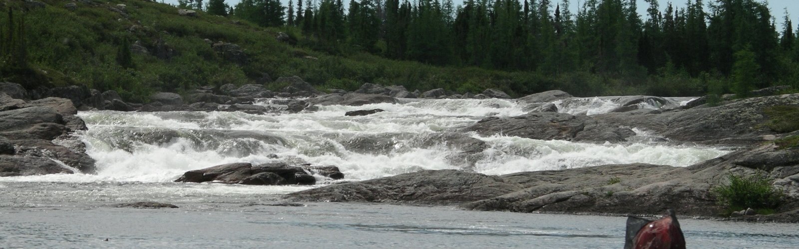
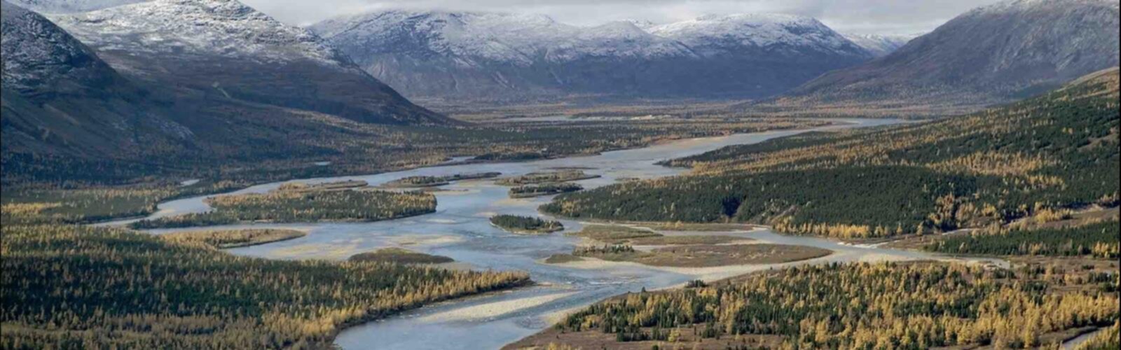
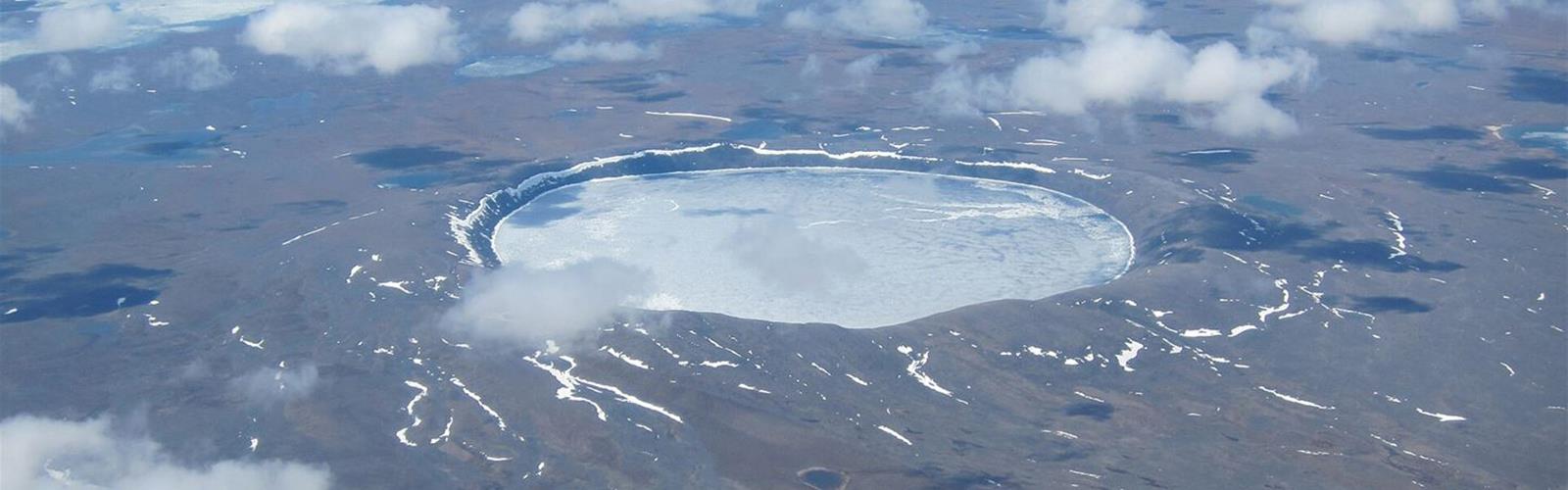
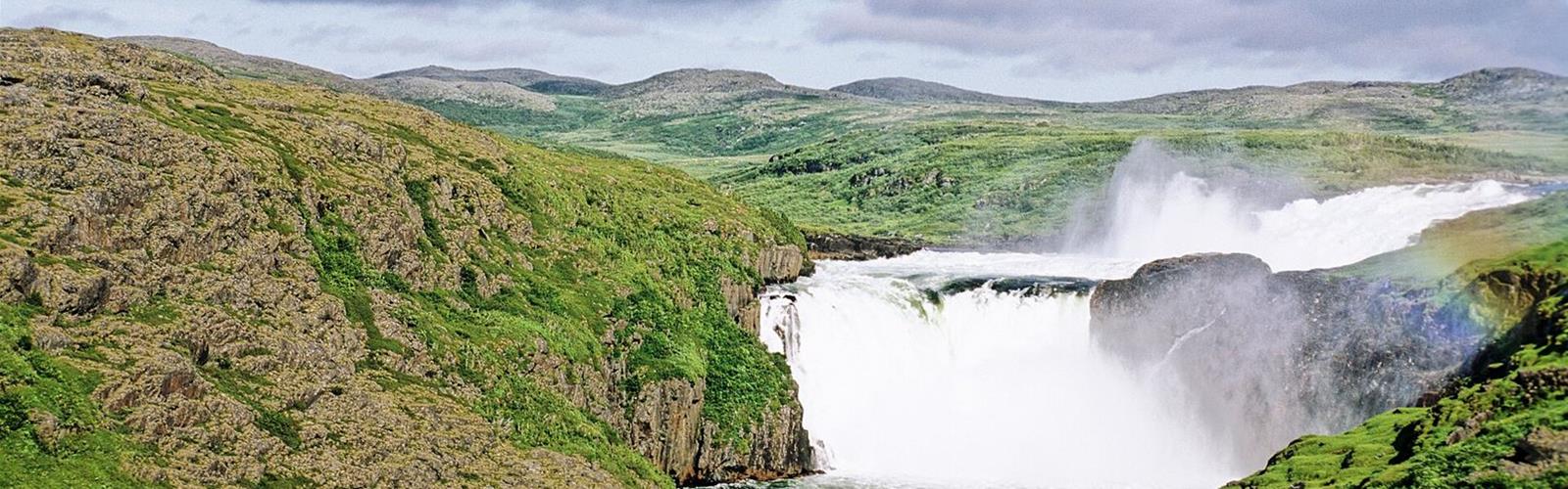
Randonnée in Nunavik provides an unparalleled opportunity to explore authentic Arctic wilderness that few have experienced. The region's unique geography features rolling tundra plains, ancient geological formations, and pristine rivers that have remained virtually unchanged for millennia. Wildlife enthusiasts will encounter caribou herds, Arctic foxes, and over 100 bird species, including snowy owls and gyrfalcons. The midnight sun during summer months creates magical hiking conditions with 24-hour daylight, while the aurora borealis illuminates winter expeditions with spectacular natural light shows.
Essential Hiking Experiences
The sentiers Nunavik region offers diverse terrain for exploration, from gentle tundra walks to challenging rocky outcrops. Hikers can traverse ancient Inuit hunting grounds along traditional migration routes, discovering stone markers and archaeological sites that tell stories spanning thousands of years. The region's numerous lakes and rivers provide stunning focal points for multi-day trekking adventures, while elevated ridges offer panoramic views across the seemingly infinite Arctic landscape.
Difficulty Levels for Every Adventurer
Plein air Nunavik activities accommodate various skill levels, though most hiking requires good physical preparation due to the remote wilderness setting. The relatively flat tundra terrain makes navigation straightforward, but weather conditions and isolation demand experienced outdoor skills. Beginners can enjoy day hikes near communities, while seasoned adventurers can embark on multi-day expeditions across vast wilderness areas.
Beyond Hiking Adventures
Nunavik's outdoor recreation extends far beyond traditional hiking trails. Visitors can experience dog sledding across frozen landscapes, ice fishing in pristine Arctic waters, and wildlife photography opportunities unmatched anywhere else in North America. Cultural immersion with local Inuit communities adds profound depth to any outdoor adventure, offering insights into traditional Arctic survival skills and deep connections to this remarkable landscape.
Planning Your Arctic Adventure
The optimal hiking season runs from June through September, when temperatures range from 5-15°C and the ground is free from snow. Access to Nunavik requires chartered flights from southern Quebec, making trip planning essential. Recommended equipment includes four-season camping gear, GPS navigation systems, emergency communication devices, and clothing suitable for rapidly changing Arctic weather conditions. All supplies must be transported in, as no services exist in the wilderness areas.