Let's Go Play Outside

Quebec · Eeyou Istchee Baie-James

Hiking in Eeyou Istchee Baie-James: find your next outing

One outing. Just the right one.

Compare the 3 hiking trails in Eeyou Istchee Baie-James by duration, level and access.

By François Dumaine · updated October 14, 2026

See the trails in Eeyou Istchee Baie-James
Hiking in Eeyou Istchee Baie-James

Our favourites in Eeyou Istchee Baie-James

Three ways to get out there.

See the Top 3

Hiking trails in Eeyou Istchee Baie-James

3 trails

Before you go

Access & booking

1 of our 3 trails is free.

See the free trails

Season & conditions

Trails can close or change with the season: thaw, snow, maintenance. Each trail page links to the site manager, who publishes closures.

Our practical tips

With your dog

Allowed on 3 of our 3 trails.

Our practical tips

Counts based on our 3 trails in Eeyou Istchee Baie-James; details and sources are on each trail page.

Frequently asked questions

How many hiking trails are there in Eeyou Istchee Baie-James?

We list 3: 3 easy.

Which hike should I start with in Eeyou Istchee Baie-James?

Among the 3 easy trails, start with Sentier De La Rivière Rupert (1.0 km, 1 hr 30 min), Les Sentiers Du Lac Imbeau (8.0 km, 2 hr 15 min) and Zone Récréative Du Lac Matagami (23.0 km, 5 hr 45 min). Each trail page gives the duration, the level and the access conditions.

Where can I walk with my dog in Eeyou Istchee Baie-James?

Dogs are allowed on 3 of our 3 trails, including Sentier De La Rivière Rupert, Zone Récréative Du Lac Matagami and Les Sentiers Du Lac Imbeau.

Which outings are free in Eeyou Istchee Baie-James?

1 of 3 trails is free: Sentier De La Rivière Rupert. Each trail page gives the fee when there is one.

How do I check conditions before I go?

Each trail page links to the site manager's website (park, municipality, reserve), which publishes closures and rules. During the thaw and after heavy rain, some trails may be closed.

Why hike in Eeyou Istchee Baie-James?

“Eeyou Istchee Baie-James” is the name Bonjour Québec uses for this region, which lies north of the 49th parallel. It covers about 350,000 km². Bonjour Québec counts nine Indigenous communities there, spread between the 49th and 55th parallels.

Trails listed

Our database lists 8 trails in the region. Four have an approved trail page:

  • Les Sentiers du Lac Imbeau: 8 km, 150 m elevation gain, 2 h 15, rated easy
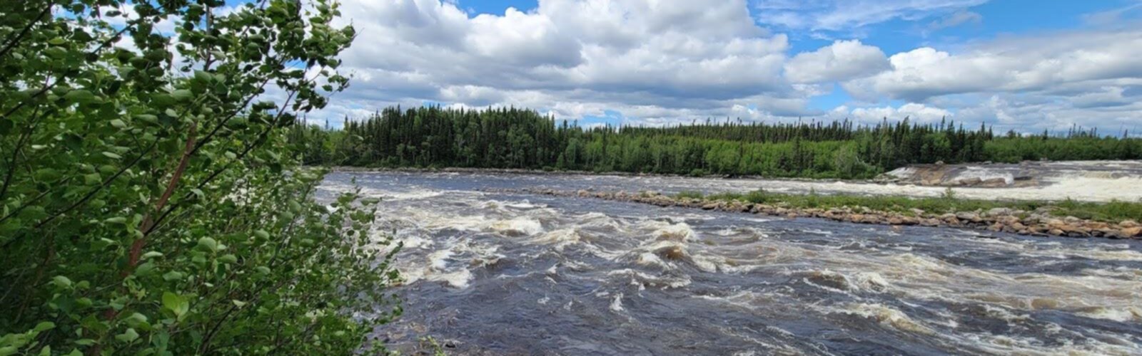
  • Sentier de la Rivière Rupert: 1 km, 75 m elevation gain, 1 h 30, rated easy
  • Zone récréative du lac Matagami: 23 km, 20 m elevation gain, 5 h 45, rated easy
  • Centre plein air du Mont Chalco: 200 m elevation gain (distance not given)

The other four trail pages are still being reviewed.

Distances

The region is large and far from the main population centres. Bonjour Québec gives 997 km from Montréal, 815 km from Québec City and 993 km from Gatineau. Matagami, Lebel-sur-Quévillon and Chibougamau are among the places it names. Check access and conditions with each site's manager before you set out.

Keep exploring

Good ideas, ready to go.

Free guide: 25 hikes under 2 hours from Montreal

Distance, elevation, parking and season for each one. The ones we go back to ourselves.

Get the guide