


Ready to explore Delaronde Lake? Here's everything you need to know before you go!
Discover the trail

Trail description
Delaronde Lake sits in the heart of Saskatchewan's boreal wilderness, offering a hiking experience that balances genuine backcountry character with accessible terrain. The lake anchors the surrounding landscape, its clear water reflecting dense stands of spruce, pine, and poplar that press close to the shoreline. This is the kind of place where the forest feels genuinely wild without demanding technical skills or multi-day logistics.
At 7.1 km with 166 m of elevation gain, the route rates as moderate — a solid half-day outing that most reasonably fit hikers can complete in around 2 hours and 15 minutes. The distance and elevation make it approachable for hikers with some experience, while still delivering enough terrain variety to feel like a real workout rather than a casual stroll.
Terrain and Trail Character
The trail moves through several distinct terrain types as it works around and away from the lake. Shoreline sections offer the most open walking, with views across the water and natural rest spots on rocky points that extend into the lake. These stretches tend to be the most social parts of the hike — good spots to stop, eat lunch, and watch for wildlife activity on the water.
Away from the shore, the trail climbs into denser woodland and crosses the rolling hills that define this corner of Saskatchewan. The 166 m of elevation gain isn't concentrated in one brutal climb — it accumulates gradually through the forest sections, where the canopy closes in and the hiking takes on a more enclosed, focused feel. The ground underfoot shifts between smooth rock faces, soft pine-needle-covered forest floor, and occasional mossy patches, keeping your attention engaged throughout.
Rocky outcrops appear at several points along the route, offering elevated perspectives across the lake and surrounding forest. These natural viewpoints are worth pausing at, particularly on clear days when the water reflects the sky and treeline cleanly. Marshy sections and small seasonal wetlands appear in lower-lying areas, adding to the terrain diversity and slowing the pace in a good way.
Wildlife and Natural Features
White-tailed deer are a regular presence along these trails, most reliably spotted during early morning and late afternoon. The mix of water, forest edge, and open meadow creates productive habitat for a range of species, and the area rewards hikers who move quietly and keep their eyes up. Bringing binoculars is worthwhile — the lake and surrounding wetlands attract both resident bird species and seasonal migrants, and the variety of habitats means you're rarely looking at the same ecosystem for long.
The lake itself remains the defining natural feature throughout the hike. Its shoreline alternates between sandy sections, boulder-strewn stretches, and rocky points, each offering a different relationship with the water. Small streams and seasonal wetlands feed into the broader lake system, supporting additional plant communities and wildlife habitat that add texture to the hiking experience.
The forest composition shifts as you move through the route — dense spruce and pine giving way to poplar stands and occasional open meadow sections. This variety in the canopy structure changes the light, the sound, and the feel of the trail in ways that make the 7.1 km feel consistently interesting rather than repetitive.
Seasonal Considerations
Summer offers the most comfortable hiking conditions, with long daylight hours and full access to the trail network. The lake provides a natural cooling option during hot weather, and the shoreline trails benefit from both water breeze and forest shade. Spring and fall bring their own character — spring opens up wildlife activity and wildflower growth, while fall shifts the poplar stands into colour and thins the undergrowth enough to open up sightlines through the forest.
Winter changes the experience significantly. The frozen lake surface creates new route possibilities for snowshoers and cross-country skiers, and the snow-covered forest offers excellent conditions for wildlife tracking. Winter hiking here requires proper layering and footwear, but the payoff is a quiet, pristine version of the landscape that feels genuinely remote.
Planning Your Visit
The 7.1 km distance and moderate rating make Delaronde Lake a strong choice for a half-day outing, with enough flexibility to extend the day by exploring different sections of the trail network. The route works as a loop or can be adjusted to out-and-back depending on your preference and energy. Several natural stopping points along the shoreline serve well as lunch or snack spots, with water access and open views.
Footwear with solid grip handles the mixed terrain well — the combination of rock, soft forest floor, and potentially wet sections near the wetlands benefits from a trail shoe or light hiking boot rather than casual sneakers. Trekking poles are useful for the hillier woodland sections, particularly on the descent where the rocky ground can be slippery after rain.
The Prince Albert National Park Area setting means the trail sits within a broader network of outdoor recreation options, making Delaronde Lake a natural anchor for a longer trip into Saskatchewan's boreal wilderness.
The Essential Hiking Checklist
Everything you need for your next hike. Bilingual, printable, 1 page.
Get your free hiking checklistRecommended gear for this trail
As an Amazon Associate I earn from qualifying purchases.


Ready to go?
Everything you need to know before you goStarting Point
To access the hiking trails, you can start at the main trailhead located near the delaronde lake Resort. The address for this starting point is 1 Delaronde Way, Big River, SK S0J 0E0. There are also additional trailheads accessible from various points around the lake, including one near the South Bay area. For those coming from Big River, follow Highway 55 west and then take Delaronde Road north to reach these locations. Parking is available at each of these trailheads.
When?
How much?
As an Amazon Associate I earn from qualifying purchases.
Affiliate links — LGPO may earn a commission at no extra cost to you.
- Hiking shoes Essential
- → Salomon Elixir Tour Mid WP · 203.38 $
- Layered clothing Essential
- Rain jacket Essential
- Trekking poles
- → Black Diamond Trail Ergo Cork · 69.99 $
- Headlamp
- → Petzl Actik Core 625 · 103.95 $
FAQ - Frequently asked questions
Everything you need to knowSimilar hikes nearby
Discover other trails you might enjoy

Prince Albert National Park
Unlimited Lakes & Parkland
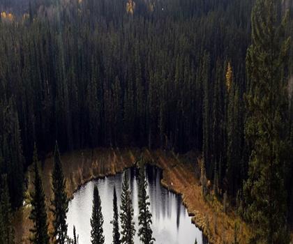
Narrow Hills Provincial Park
Unlimited Lakes & Parkland
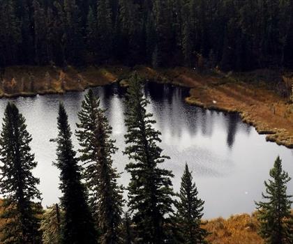
Gem Lakes
Unlimited Lakes & Parkland

Makwa Lake
Unlimited Lakes & Parkland
Brightsand Lake
Unlimited Lakes & Parkland
Little Red River Park
Unlimited Lakes & Parkland
Hiking near Saskatoon
4 trails to explore ~202 km away
We work hard to provide the most up-to-date and error-free data possible. If something seems incorrect, let us know! Your contribution helps the whole community.
Hikers' opinions
Be the first to review!
No hiker has shared their experience yet. Share your impressions and help other hikers!