

Ready to explore Lac Vert? Here's everything you need to know before you go!
Discover the trail
Trail description
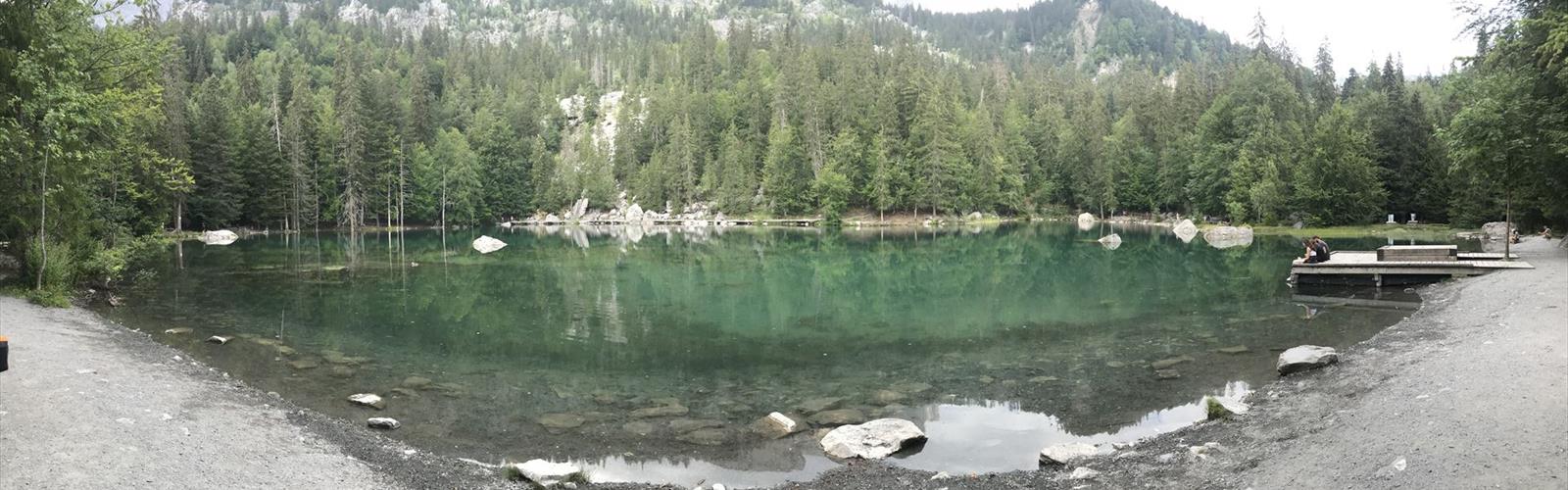
Lac Vert is one of those destinations in Haute-Savoie that earns its reputation the moment you arrive at the shoreline. The lake's striking emerald color — the result of glacial sediment and mineral deposits — shifts throughout the day depending on light and cloud cover, and on calm mornings the surrounding peaks reflect almost perfectly on the surface. At 4.5 km round trip with 300 meters of elevation gain, this is a trail that delivers genuine alpine scenery without demanding a full-day commitment.
Getting Into the Hike
The trail starts through mixed forest typical of the Haute-Savoie mountains — spruce and fir trees providing solid shade on warm summer days. The path is well-maintained from the outset, with packed earth underfoot and a steady upward grade that lets you find your rhythm early. The forest canopy stays with you for a good portion of the climb, which keeps things comfortable even in midsummer heat.
As you gain elevation, the trees begin to thin and the surrounding ridgelines start appearing through the gaps. These early glimpses of the peaks above give you a sense of where you're headed and build anticipation for what opens up near the lake. The 300-meter elevation gain is spread fairly evenly across the route, so there's no single brutal section — just a consistent, manageable climb that most hikers with a reasonable base fitness level will handle without issue.
The trail surface changes as you move higher. Packed earth transitions to rockier ground, and you'll cross a few small streams along the way. Most of these crossings are straightforward rock-hops, though water levels can vary considerably depending on recent rainfall and how much snowmelt is still running off the slopes. Trekking poles are genuinely useful here — not just for the crossings, but for the loose scree on the final approach to the lake, where the footing demands a bit more attention.
The Lake Itself
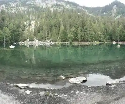
Lac Vert sits in a natural cirque, enclosed by limestone cliffs and alpine meadows. The green color is the first thing that catches your eye, and it's more vivid than most photos suggest — an almost unreal shade that makes the lake look like something out of a painting. Despite the color, the water is remarkably clear, and on still days the reflections of the cliffs and sky on the surface are worth the hike on their own.
The shoreline has several flat rock areas that work well as rest spots. These natural ledges are comfortable for a lunch break and positioned well for photography at different angles. The contrast between the vivid water, the pale limestone cliffs, and the green meadows surrounding the lake creates a layered visual that changes as the light moves through the day — early morning tends to offer the calmest water and softest light, while midday brings out the full intensity of the green color.
Wildlife is active in this area. Marmots are commonly spotted on the slopes above the lake, and various alpine bird species move through regularly. The protected environment around the lake keeps the ecosystem relatively undisturbed, which contributes to the frequency of wildlife sightings.
Trail Conditions and What to Expect
The route is marked with standard French hiking blazes and is generally easy to follow. A few sections — particularly where the trail crosses open meadows or rocky terrain — require a bit more attention to stay on track, but nothing that should cause real navigation difficulty for a hiker paying attention. The rocky sections near the lake are the most technically demanding part of the route, especially when wet, so footwear with solid grip matters here.
The trail holds up well through most of the hiking season. North-facing slopes can retain snow or ice into early season, which adds difficulty and requires appropriate footwear. Stream crossings that are simple rock-hops in summer can become more challenging during high snowmelt periods in late spring.
When to Go
The reliable hiking window runs from late June through early October. Snow can persist at higher elevations well into May, and the forest sections can be muddy during snowmelt. July and August bring the best conditions overall — stable weather, wildflowers in the meadows around the lake, and long daylight hours that give you flexibility with timing.
Early autumn is worth considering if you can manage the scheduling. September and early October offer crisp, clear days with excellent visibility and far fewer people on the trail. Weather can shift quickly at this elevation, though, and early snowfall is possible — layers and rain protection are non-negotiable regardless of the forecast.
Experienced snowshoers and ski tourers access the route in winter, but this requires solid navigation skills and full winter equipment. The lake typically freezes over by December.
Practical Notes
- Parking: Available at the trailhead, but fills quickly on summer weekends and holidays. An early start solves both the parking problem and gives you the best light at the lake.
- Families: Suitable for older children comfortable with sustained uphill hiking. The rocky sections near the lake need supervision for younger kids.
- Dogs: Welcome on the trail, but should be kept under control — particularly around wildlife areas. The stream crossings and rocky terrain near the lake can be tricky for smaller dogs.
- Gear: Trekking poles are strongly recommended for the stream crossings and the scree near the lake. Pack layers and rain protection regardless of morning conditions — mountain weather in Haute-Savoie changes fast.
- Water: Streams along the route are available, but filtration is recommended. The lake itself should not be used as a drinking source without treatment. Carrying enough water for the full 4.5 km is the simplest approach.
The estimated time of 2 hours 15 minutes reflects a steady hiking pace — factor in additional time at the lake if you plan to eat, photograph, or simply sit with the view for a while.
The Essential Hiking Checklist
Everything you need for your next hike. Bilingual, printable, 1 page.
Get your free hiking checklistRecommended gear for this trail
As an Amazon Associate I earn from qualifying purchases.


Ready to go?
Everything you need to know before you goWhen?
How much?
As an Amazon Associate I earn from qualifying purchases.
Affiliate links — LGPO may earn a commission at no extra cost to you.
- Hiking shoes Essential
- → Salomon Elixir Tour Mid WP · 203.38 $
- Layered clothing Essential
- Rain jacket Essential
- Trekking poles
- → Black Diamond Trail Ergo Cork · 69.99 $
- Headlamp
- → Petzl Actik Core 625 · 103.95 $
FAQ - Frequently asked questions
Everything you need to knowSimilar hikes nearby
Discover other trails you might enjoy
Mont Buet
Haute-Savoie
Cirque Du Fer A Cheval
Haute-Savoie
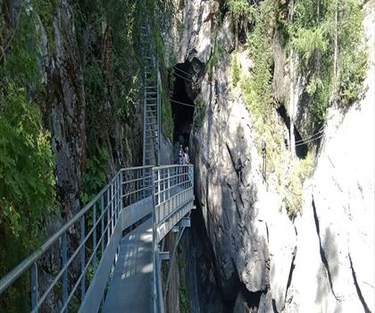
Cascade de Bérard
Haute-Savoie
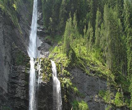
Cascade du Rouget
Haute-Savoie
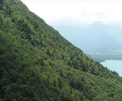
Cascade d'Angon
Haute-Savoie
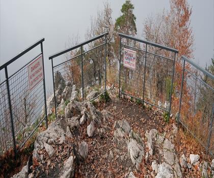
Col du Pré Vernet
Haute-Savoie
Hiking near Sydney
22 trails to explore ~5020 km away
We work hard to provide the most up-to-date and error-free data possible. If something seems incorrect, let us know! Your contribution helps the whole community.
Hikers' opinions
Be the first to review!
No hiker has shared their experience yet. Share your impressions and help other hikers!