

Ready to explore Cascade du Rouget? Here's everything you need to know before you go!
Discover the trail
Trail description
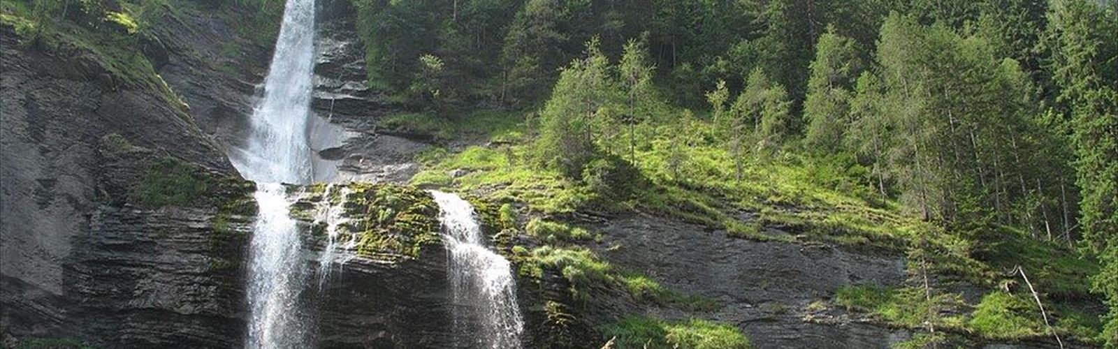
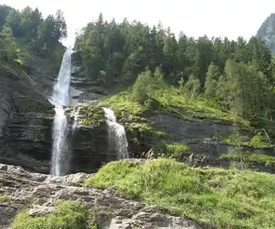
The Cascade du Rouget stands as one of Haute-Savoie's most spectacular waterfalls, earning its nickname "Queen of the Alps" through sheer dramatic presence. This 90-meter cascade plunges down a steep rock face in the Giffre Valley, creating a thunderous display that can be heard long before the falls come into view. The waterfall draws its power from glacial melt and mountain streams high above, making it particularly impressive during spring snowmelt and after heavy rains.
Located near the village of Sixt-Fer-à-Cheval, the Cascade du Rouget offers hikers a relatively accessible mountain experience with substantial visual rewards. The 4.5-kilometer trail winds through a landscape that showcases the raw geological forces that shaped this corner of the French Alps, with towering limestone cliffs, scattered boulders, and the constant sound of rushing water guiding visitors toward the main attraction.
The Trail Experience
The approach to Cascade du Rouget follows a well-maintained path that gains 200 meters in elevation over its length, making it a moderate climb suitable for most fitness levels. Most hikers complete the journey in about an hour and a half, though the spectacular scenery often encourages a more leisurely pace with frequent photo stops.
The trail begins in mixed forest, where beech and spruce trees provide welcome shade during warmer months. As hikers progress, the vegetation gradually transitions to more alpine species, with mountain ash and hardy shrubs clinging to the increasingly rocky terrain. This ecological shift provides a fascinating glimpse into how plant communities adapt to changing elevation and moisture conditions.
The path itself varies from smooth dirt sections to rockier stretches where careful footing becomes important, especially when wet. Stone steps and wooden railings appear at steeper sections, though the trail never becomes technically challenging. Multiple viewpoints along the route offer glimpses of the surrounding peaks and valleys, providing natural rest stops and opportunities to appreciate the broader alpine landscape.
What sets this hike apart from other waterfall walks in the region is the dramatic buildup to the main event. The sound of falling water grows progressively louder as hikers approach, creating anticipation that pays off spectacularly when the full cascade finally comes into view. The final viewing area sits directly across from the falls, offering an unobstructed perspective of the water's entire descent and allowing visitors to fully appreciate the scale and power of this natural wonder.
Seasonal Variations
The character of Cascade du Rouget changes dramatically with the seasons, making it worth visiting multiple times throughout the year. Spring brings the most powerful water flow as snowmelt from higher elevations feeds the cascade. During this period, the falls roar with impressive volume, and the mist created by the impact can be felt from the viewing areas, creating an almost tropical microclimate in the midst of the alpine environment.
Summer offers the most comfortable hiking conditions, with stable weather and fully accessible trails. The surrounding vegetation reaches its peak during these months, creating a lush green backdrop that contrasts beautifully with the white water and gray limestone. However, the flow may be somewhat reduced compared to spring levels, though the waterfall remains impressive throughout the warmer months.
Autumn transforms the approach hike with brilliant foliage colors, particularly striking against the gray limestone cliffs. The waterfall maintains good flow during this season, and cooler temperatures make for pleasant hiking conditions without the summer crowds. This season often provides the best balance of comfortable weather and dramatic scenery.
Winter access depends on snow conditions and trail maintenance. While the frozen cascade creates stunning ice formations that attract ice climbing enthusiasts, hikers should be prepared for potentially challenging conditions and should check local conditions before attempting the trail.
Natural Environment and Wildlife
The diverse habitat around Cascade du Rouget supports a variety of alpine wildlife that adds another dimension to the hiking experience. Marmots inhabit the higher rocky areas and can often be heard whistling their distinctive alarm calls, particularly during early morning and late afternoon hours. Chamois occasionally appear on the steep slopes above the falls, though they typically remain at a distance from the main trail, requiring binoculars for good viewing.
Bird life includes alpine choughs, which perform spectacular acrobatic flights around the cliff faces, and various species of finches and thrushes in the forested sections. The constant moisture from the waterfall creates unique microclimates that support specialized plant communities, including several species of ferns and mosses that thrive in the spray zones near the base of the falls.
The geological features tell a fascinating story of glacial activity and water erosion over thousands of years. The limestone cliffs show clear stratification lines that reveal the ancient marine origins of these mountains, and careful observers can spot fossils embedded in the rock faces. The boulder fields below the falls demonstrate the ongoing process of erosion and rockfall that continues to shape this dynamic landscape.
Practical Hiking Information
Parking is available near the trailhead, though spaces can fill quickly during peak summer weekends and holidays. Arriving early in the morning or later in the afternoon often provides better parking availability and more peaceful trail conditions, plus better lighting for photography. The parking area includes basic facilities but no services, so hikers should come prepared with adequate water and snacks for the journey.
The trail's easy difficulty rating makes it generally suitable for families with children who are comfortable with moderate uphill hiking. The well-maintained path and clear destination make it easier to motivate younger hikers, though parents should supervise children carefully near the viewing areas where steep drops exist beyond the safety barriers.
Dogs are permitted on the trail but must be kept under control, particularly around other hikers and near cliff edges. The rocky terrain can be tough on paw pads, so owners should consider protective booties for sensitive dogs and bring extra water for their four-legged companions.
Standard hiking footwear with good traction is recommended, as some sections can be slippery when wet from either rain or waterfall mist. Trekking poles can be helpful for those who prefer extra stability on the steeper sections or when descending on potentially slick surfaces. A light rain jacket is advisable since the waterfall creates localized mist that can dampen clothing even on clear days, and the weather in the mountains can change quickly.
Photography enthusiasts should bring lens cleaning cloths to deal with water droplets from the mist, and a polarizing filter can help reduce glare from wet rocks and enhance the contrast between the white water and dark stone. The best lighting for waterfall photography typically occurs during mid-morning hours when the sun illuminates the falls without creating harsh shadows on the surrounding cliffs.
The Essential Hiking Checklist
Everything you need for your next hike. Bilingual, printable, 1 page.
Get your free hiking checklistRecommended gear for this trail
As an Amazon Associate I earn from qualifying purchases.


Ready to go?
Everything you need to know before you goWhen?
How much?
As an Amazon Associate I earn from qualifying purchases.
Affiliate links — LGPO may earn a commission at no extra cost to you.
- Hiking shoes Essential
- → Salomon Elixir Tour Mid WP · 203.38 $
- Layered clothing Essential
- Rain jacket Essential
- Trekking poles
- → Black Diamond Trail Ergo Cork · 69.99 $
- Headlamp
- → Petzl Actik Core 625 · 103.95 $
FAQ - Frequently asked questions
Everything you need to knowSimilar hikes nearby
Discover other trails you might enjoy
Mont Buet
Haute-Savoie
Cirque Du Fer A Cheval
Haute-Savoie
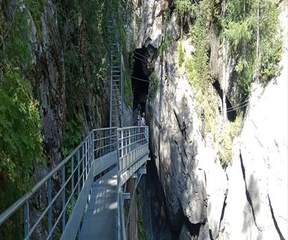
Cascade de Bérard
Haute-Savoie
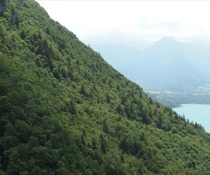
Cascade d'Angon
Haute-Savoie
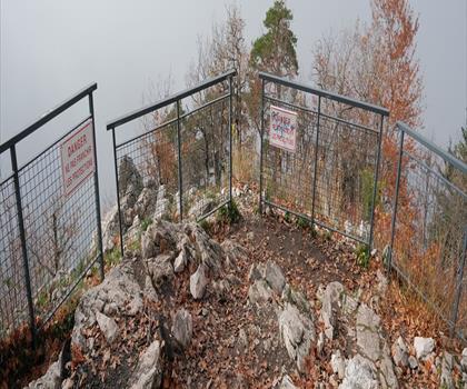
Col du Pré Vernet
Haute-Savoie
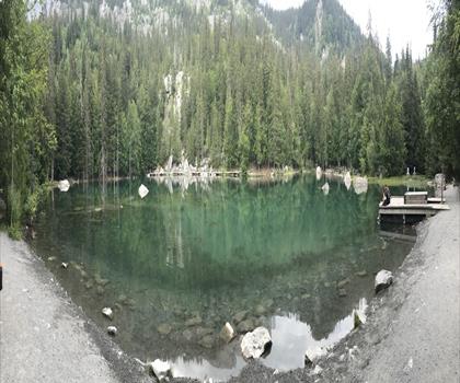
Lac Vert
Haute-Savoie
Hiking near Sydney
22 trails to explore ~5017 km away
We work hard to provide the most up-to-date and error-free data possible. If something seems incorrect, let us know! Your contribution helps the whole community.
Hikers' opinions
Be the first to review!
No hiker has shared their experience yet. Share your impressions and help other hikers!