
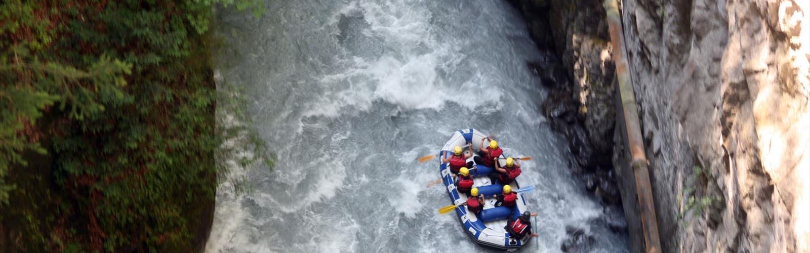
Ready to explore Gorges des Tines? Here's everything you need to know before you go!
Discover the trail
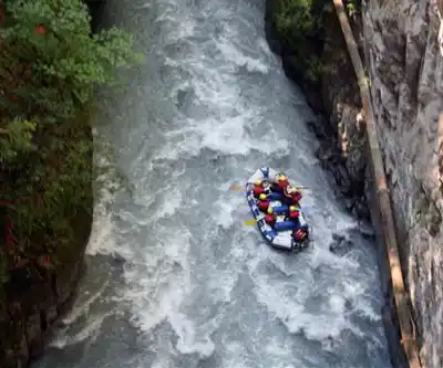
Trail description
The Gorges des Tines cut through the Haute-Savoie landscape with the kind of raw, uncompromising drama that reminds you why people come to the Alps in the first place. This 3.2-kilometer trail packs 700 meters of elevation gain into a route that takes roughly two and a half hours to complete — numbers that should tell you immediately this isn't a casual afternoon stroll. The difficulty rating is Hard, and it earns that label honestly.
What You're Getting Into
The gorges themselves are the defining feature here. The trail moves through a series of narrow passages where the rock walls press in close on both sides, creating that particular atmosphere you only get in deep gorge terrain — cool, shaded, with sound bouncing off stone in ways that make the place feel alive. Then the gorge opens up, and suddenly you're looking out at the surrounding peaks of Haute-Savoie with nothing between you and the horizon. That contrast — confined and intimate one moment, wide open the next — is what makes this hike stick with you.
The elevation gain is relentless. At 700 meters over 3.2 kilometers, you're averaging a steep grade throughout, and there aren't many flat sections where you can catch your breath and coast. The terrain shifts between rocky scrambles along the gorge floor, narrow ledges that require attention, and exposed sections where a head for heights helps. Loose rock shows up in places, so foot placement matters from start to finish.
Terrain and Conditions
The path follows the natural fractures and ancient water courses carved into the rock, which gives it a wild, unmanicured character. This isn't a groomed trail with smooth surfaces and reassuring signage every hundred meters — it's the kind of route where you're reading the terrain as you go. Rocky outcrops, scree sections, and narrow ledges all make appearances, and the gorge walls create a microclimate that stays noticeably cooler than the surrounding area, even on warm days.
Water is a constant presence. Seasonal streams, small cascades coming off the cliff faces, and the general moisture of the gorge environment mean that wet, slippery rock is something you'll encounter regularly. After rain or during spring snowmelt, conditions tighten up considerably. The combination of steep terrain and wet rock is where this trail can become genuinely serious, so timing your visit matters.
The higher sections of the route lose the shelter of the gorge walls and become fully exposed. Weather in the Alps can shift quickly, and what's a demanding but manageable scramble in clear conditions can turn technical and hazardous in wind and rain. Check the forecast before you go, and don't push it if the weather looks uncertain.
Gear and Preparation
Proper hiking boots with solid ankle support and grippy soles aren't optional here — they're the difference between a hard hike and a dangerous one. Trekking poles help on the steep descents, which can be harder on the knees than the climb up. Bring enough water for the full 2.5 hours, since there's no guarantee the seasonal water sources along the route are safe to drink without treatment. A light layer is worth packing even in summer, given how quickly temperatures drop in the deeper gorge sections.
Who This Trail Is For
The Gorges des Tines is a trail for hikers who are comfortable on technical terrain and have experience reading mountain conditions. The Hard rating isn't inflated — the combination of steep elevation gain, loose and wet rock, narrow passages, and exposed sections adds up to a route that demands both physical fitness and sound judgment. If you're new to mountain hiking or unsure about your footing on uneven terrain, this one isn't the right starting point.
For experienced hikers, though, this is exactly the kind of objective that makes a trip to Haute-Savoie worthwhile. The difficulty level keeps the trail from getting crowded even during peak season, so you're likely to have the gorges largely to yourself — a rare thing in a region that draws visitors from across Europe. The geological drama of the carved rock faces, the interplay of light and shadow in the narrow passages, and the physical satisfaction of grinding out 700 meters of gain in a compact distance all combine into an experience that feels genuinely earned.
Getting There and Route Options
The area around the Gorges des Tines connects to a broader network of trails in Haute-Savoie, which means experienced hikers have options for extending the day or creating loop routes that take in more of the surrounding terrain. The gorge trail itself is primarily suited to foot traffic — the technical nature of the terrain and the narrow passages make it unsuitable for bikes or horses, even if other routes in the area accommodate those activities.
The core gorge experience is the draw for most people who make the trip, and the 3.2-kilometer distance means you can complete it as a focused half-day objective without needing to plan around a full mountain day.
Everything you need for your next hike. Bilingual, printable, 1 page.
Get your free hiking checklistReady to go?
Everything you need to know before you goStarting Point
The trailhead of the Gorges des Tines is located in Saint-Julien-en-Genevois, in the Auvergne-Rhône-Alpes region. To get there, you have to take the direction of Saint-Julien-en-Genevois from Geneva and follow the signs to the city center. Once you arrive in the city center, continue straight ahead and park in the parking lot near the trailhead.
When?
How much?
- Hiking shoes Essential
- Layered clothing Essential
- Rain jacket Essential
- Trekking poles
- Headlamp
FAQ - Frequently asked questions
Everything you need to knowOutings near Gorges des Tines
Discover other trails you might enjoy
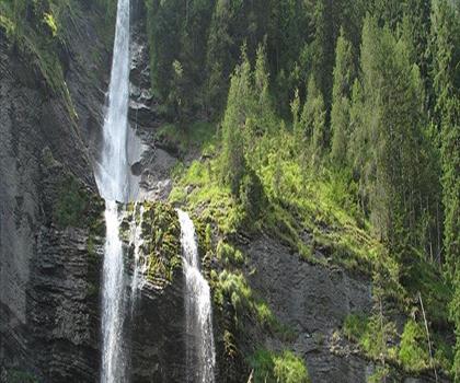
Cascade du Rouget
Haute-Savoie · 3.3 km away
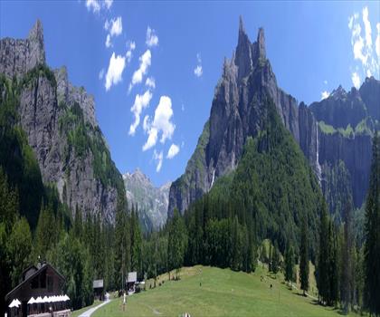
Cirque Du Fer A Cheval
Haute-Savoie · 7.0 km away
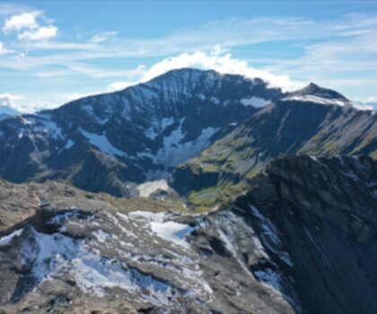
Mont Buet
Haute-Savoie · 8.0 km away
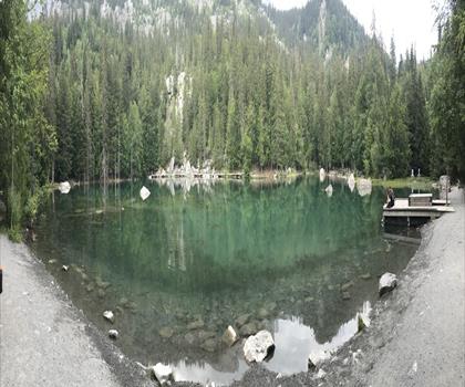
Lac Vert
Haute-Savoie · 11.7 km away
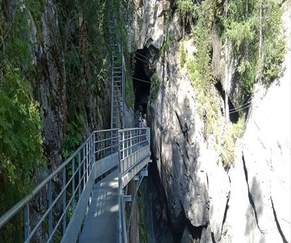
Cascade de Bérard
Haute-Savoie · 12.5 km away
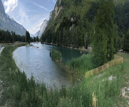
Cascade de l'Arpenaz
Haute-Savoie · 12.6 km away
Hiking near Sydney
25 trails to explore ~5015 km away
We work hard to provide the most up-to-date and error-free data possible. If something seems incorrect, let us know! Your contribution helps the whole community.
Hikers' opinions
Be the first to review!
No hiker has shared their experience yet. Share your impressions and help other hikers!