


Ready to explore italy 13? Here's everything you need to know before you go!
Discover the trail
Oh no! We don't have any photos 😢
This trail hasn't been captured yet. Be the first to share your adventure!Trail description
The Italy 13 mountain bike route sits in the Alpes-Maritimes department of the Provence-Alpes-Côte d'Azur region in France, right along the border with Italy. This is high-alpine terrain where the landscape shifts dramatically depending on elevation — rocky ridgelines, open meadows, dense conifer forests, and sweeping views that stretch across two countries on a clear day.
The name itself gives you a clue about the character of this route: it hugs the Franco-Italian border, dipping in and out of territory that feels genuinely remote. This isn't a groomed trail system with signage every 200 meters. It's the kind of riding that rewards people who are comfortable navigating mountain terrain and who know how to read a trail when conditions change quickly.
The Terrain
The Alpes-Maritimes is one of the most geologically dramatic corners of France. The mountains here rise steeply from the Mediterranean coast, which means elevation changes happen fast and the terrain is rarely flat for long. The Italy 13 route reflects that character — expect technical sections, loose rock on exposed ridges, and climbs that demand both fitness and bike handling skill.
The trail surface varies considerably along the route. Lower sections tend to run through forested terrain where roots and embedded rocks keep you honest. As you gain elevation, the trail opens up onto more exposed ground where the views open wide and the riding becomes more technical. Wind can be a real factor on the upper sections, especially in spring and fall.
The border zone between France and Italy in this part of the Alps is marked by old military infrastructure — stone fortifications, abandoned barracks, and remnants of roads built for strategic access during the late 19th and early 20th centuries. These historical traces are woven into the landscape and add a layer of interest beyond the riding itself.
What to Expect on the Bike
Italy 13 is a mountain bike route, which means it's designed for riders who are comfortable on technical singletrack and who have the fitness to handle sustained climbing in alpine conditions. A hardtail can work on this kind of terrain, but a full-suspension bike will give you more confidence on the rockier descents.
Tire choice matters here. The mix of loose rock, packed dirt, and occasional wet roots means a versatile tread pattern is worth thinking about before you roll out. Tubeless setup is a smart call given how far you can get from the trailhead.
Navigation is part of the experience. The route runs through terrain where trails intersect and conditions can shift, so having a downloaded map or a GPS track loaded before you start is strongly recommended. Cell coverage in the upper sections of the Alpes-Maritimes backcountry is unreliable at best.
The Setting and Views
One of the defining features of riding along the Franco-Italian border in the Alpes-Maritimes is the quality of the views. On a clear day, you can see deep into both countries — Italian valleys to the east, French alpine terrain to the west and north, and on exceptional days, a glint of the Mediterranean to the south. The light in this part of the Alps has a particular quality, especially in the morning and late afternoon, that makes the landscape feel vivid and sharp.
Wildlife is present throughout the area. The high alpine zones of the Alpes-Maritimes support chamois, ibex, and a variety of raptors including golden eagles. You're more likely to spot wildlife early in the morning or toward dusk, and the quieter sections of the route — away from any road crossings — are where encounters are most likely.
The vegetation changes noticeably with elevation. Lower sections pass through mixed forest with beech, pine, and larch. Higher up, the tree line gives way to alpine meadows and rocky terrain where only the hardiest plants survive. In summer, wildflowers fill the open meadows with color.
Practical Information
The Alpes-Maritimes backcountry has a mountain climate that operates on its own schedule. Afternoon thunderstorms are common in summer, and conditions at elevation can deteriorate quickly. Starting early in the day is a reliable strategy for avoiding the worst of the afternoon weather.
Snow can linger on the upper sections of border routes well into spring, and early-season riders should check conditions before heading out. The window for reliable riding on high-alpine routes in this area typically runs from late June through early October, though that varies year to year.
Carry more water than you think you need. Springs and streams exist in the area, but their reliability varies by season and they should be treated before drinking. Food and supplies should be packed in — there are no services on the route itself.
- Terrain type: Alpine singletrack, rocky ridgelines, forested sections
- Recommended bike: Full-suspension mountain bike; hardtail possible for experienced riders
- Navigation: Download a GPS track before departure; cell coverage is unreliable in the backcountry
- Best season: Late June through early October, conditions permitting
- Weather: Afternoon thunderstorms common in summer; check forecasts before heading out
- Water: Treat any natural water sources; carry sufficient supply from the start
- Historical interest: Old military fortifications and border infrastructure visible along the route
Getting There
Access to the Italy 13 route is through the Alpes-Maritimes department in the Provence-Alpes-Côte d'Azur region of France. The border zone is accessible via mountain roads that wind up from the valleys below. Road conditions on the approach can be rough, and some access roads are only passable in a vehicle with reasonable ground clearance. Confirm current road conditions locally before making the drive, particularly early and late in the season when snow or washouts can close access points without much warning.
Parking at trailheads in this area is typically informal — pull-offs along mountain roads rather than developed lots — so arriving early on busy summer weekends is a practical move to secure a spot close to the start of the route.
Recommended gear for this trail


Ready to go?
Everything you need to know before you goWhen?
How much?
- Hiking shoes Essential
- → Salomon Elixir Tour Mid WP · 203.38 $
- Layered clothing Essential
- Rain jacket Essential
- Trekking poles
- → Black Diamond Trail Ergo Cork · 69.99 $
- Headlamp
- → Petzl Actik Core 625 · 103.95 $
FAQ - Frequently asked questions
Everything you need to know
25 hikes under 2 hours from Montreal
Distance, elevation, parking and season for each one. The ones we go back to ourselves.
Get the guideSimilar hikes nearby
Discover other trails you might enjoy
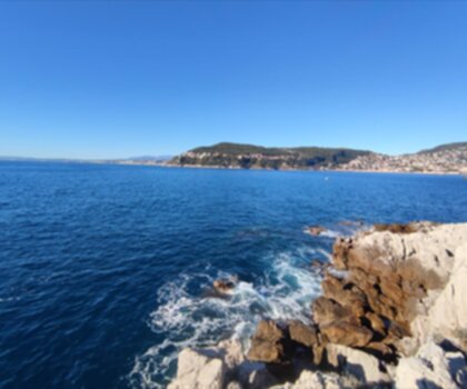
Sentier du Littoral
Alpes-Maritimes
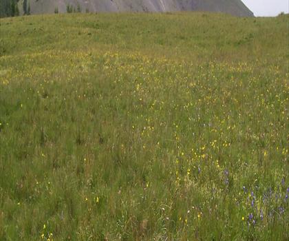
Parc national du Mercantour
Alpes-Maritimes
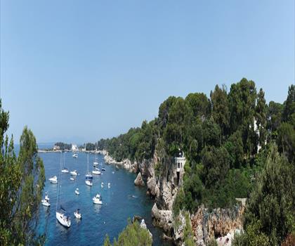
Le Sentier du Littoral
Alpes-Maritimes

Parc naturel régional des Préalpes d'Azur
Alpes-Maritimes
Cascade De Clars
Alpes-Maritimes
Gorges de la Siagne
Alpes-Maritimes
Hiking near Sydney
22 trails to explore ~5181 km away
We work hard to provide the most up-to-date and error-free data possible. If something seems incorrect, let us know! Your contribution helps the whole community.
Hikers' opinions
Be the first to review!
No hiker has shared their experience yet. Share your impressions and help other hikers!