
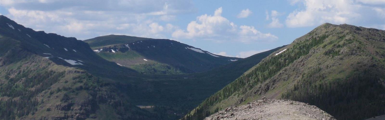
Ready to explore Continental Divide National Scenic Trail? Here's everything you need to know before you go!
Discover the trail
Trail description
The Continental Divide National Scenic Trail (CDT) follows the Rocky Mountains from Mexico to Canada. The U.S. Forest Service gives it 3,100 miles, 2,140 of them on National Forest System lands across 20 national forests. The Continental Divide Trail Coalition (CDTC) says Congress established it in 1978 and that about 160 miles are still incomplete.
One trail, five states
The CDT crosses New Mexico, Colorado, Wyoming, Idaho and Montana. No single permit covers the whole trail: the CDTC advises full-length hikers to plan for at least three permits (Blackfeet Nation, Glacier National Park, Yellowstone National Park). According to the CDTC, a full thru-hike takes five to seven months.
Grand Lake and Rocky Mountain National Park
The CDTC says the trail passes directly through the Town of Grand Lake. Through Rocky Mountain National Park the route is about 30 miles on the CDTC's Grand Lake page, does not follow the Continental Divide itself, and climbs to 11,500 feet, taking in high peaks and fragile alpine tundra. Between the North Inlet and Tonahutu trailheads it forms a 28-mile loop; the CDTC's thru-hiking page calls the loop through the park "just 25 miles". To reach these trailheads, take State Highway 278 heading south and turn left onto County Road 663: Tonahutu is on the left and North Inlet on the right. From the East Shore trailhead, the trail heads south along Shadow Mountain Lake.
Permits and camping in Colorado
Per the CDTC, backcountry camping in Rocky Mountain National Park costs US$26 per person per night, and hard-sided bear canisters are required; they can be rented in Grand Lake. In the Indian Peaks Wilderness, the CDTC says not to camp without a permit, and that camping between Lonesome Peak and Devil's Thumb, or after Rollins Pass, avoids the requirement. Permits come from the Arapahoe and Roosevelt National Forests.
Dogs
The CDTC page on pets does not say where dogs are allowed. It asks owners to keep dogs from chasing wildlife and cows, to store dog food bear-safe, and to follow Leave No Trace principles, regulations and etiquette.
Maps, closures and safety
The CDTC offers its 4th edition maps free (one inch to a half mile), along with GPX and KMZ route data. Before leaving, it asks hikers to check its Closures and Alerts page, which covers fires, reroutes and trail alerts, and it links to SNOTEL snow data and the Colorado Avalanche Information Center. It advises leaving an itinerary with someone you trust: some areas have no cell service, and a satellite messenger is more reliable there.
Everything you need for your next hike. Bilingual, printable, 1 page.
Get your free hiking checklistRecommended gear for this trail
As an Amazon Associate I earn from qualifying purchases.


Ready to go?
Everything you need to know before you goStarting Point
The trail has no start in Colorado. The map pin is the town of Grand Lake (Grand County), which the CDT runs through. For the Rocky Mountain National Park section, the CDTC lists the North Inlet and Tonahutu trailheads (County Road 663, off Highway 278) and East Shore (Jericho Road, to Shoreline Way).
When?
As an Amazon Associate I earn from qualifying purchases.
Affiliate links — LGPO may earn a commission at no extra cost to you.
- Hiking shoes Essential
- → Salomon Elixir Tour Mid WP · 203.38 $
- Layered clothing Essential
- Rain jacket Essential
- Trekking poles
- → Black Diamond Trail Ergo Cork · 69.99 $
- Headlamp
- → Petzl Actik Core 625 · 103.95 $
FAQ - Frequently asked questions
Everything you need to knowOutings near Continental Divide National Scenic Trail
Discover other trails you might enjoy

Colorado River Trail
Rockies Playground · 2.8 km away

Colorado River
Rockies Playground · 16.8 km away

Saint Vrain Mountain, Colorado
Denver and Cities of the Rockies · 22.6 km away
Winter Park Ski Resort
Rockies Playground · 40.7 km away
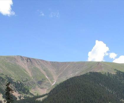
Berthoud pass
Rockies Playground · 50.4 km away
Ute Peak
Rockies Playground · 53.2 km away
Hiking near Regina
4 trails to explore ~1137 km away
We work hard to provide the most up-to-date and error-free data possible. If something seems incorrect, let us know! Your contribution helps the whole community.
Hikers' opinions
Be the first to review!
No hiker has shared their experience yet. Share your impressions and help other hikers!