

Ready to explore Ute Peak? Here's everything you need to know before you go!
Discover the trail
Oh no! We don't have any photos 😢
This trail hasn't been captured yet. Be the first to share your adventure!Available trails
| TrailTrails | Dist.Distance | GainElevation | Est. timeEstimated time | Difficulty | GPX |
|---|---|---|---|---|---|
|
|
17.8 km | 827 m | ≈ 5h30 |
Trail description
Where Ute Peak is
The USGS GNIS lists Ute Peak as a summit in Grand County, Colorado (feature ID 175673). TopoQuest gives an elevation of 12,273 ft (3,741 m), the same value recorded in OpenStreetMap; the USFS page on the Ptarmigan Peak Wilderness gives 12,297 ft. The GNIS also lists other summits named Ute Peak in Colorado, in Montezuma and Mineral counties; this page covers the one in Grand County.
According to the USFS, the Ptarmigan Peak Wilderness (12,760 acres, designated by Congress in 1993) lies north of Silverthorne in the Williams Fork Mountains. Ptarmigan Peak (12,458 ft) anchors the southern end of the range and Ute Peak the northern end.
The trails
The Ute Peak Trail (#24) is 13.6 miles (21.9 km) one way, according to the USFS. It starts at the Ute Peak Trailhead, passes through a tunnel under the railroad tracks near the start, meets the Ute Pass Trail (#31) as it gains elevation, and continues toward Ute Peak. The USFS says the hike up to the ridge is steep and strenuous, but the trail levels out at the top. Views of the Continental Divide and the Gore Range are plentiful.
The Ute Pass Trail (#31) is 2.4 miles (3.9 km) one way. The USFS presents it as an easier way to reach the higher parts of the Ute Peak Trail. It climbs from about 9,560 ft at the pass to 11,060 ft at the junction with #24; beyond that, it continues to tree line and follows the Williams Fork ridge. It is suitable for hikers and horse riders.
According to Recreation.gov, the trail climbs to Ute Peak, then follows the Williams Fork ridge to Ptarmigan Peak; parts of the trail are faint, but the ridgeline is easy to follow. The USFS also describes a one-way alpine ridgeline hike of about 12 miles that links the Ptarmigan Peak trail with the Ute Peak/Pass trail.
Ute Pass to the summit: distance and elevation
The figures shown here describe the round trip between the Ute Pass Trailhead and the summit, on trail #31 and then #24. The total is a calculation: the 3.9 km of #31 comes from the USFS, and the 5.0 km of #24 between the junction and the summit is measured on OpenStreetMap. That makes 8.9 km one way, or 17.8 km round trip. The difference in elevation between the pass (9,560 ft, per the USFS) and the summit (12,273 ft) is 2,713 ft (827 m).
Where to start
Ute Pass Trailhead (39.8233, −106.1053 per the USFS): on County Road 3 (Forest Road 132), on the Grand/Summit county line, on the south side of the road. From Parshall, take County Road 3 south to the Summit County line. A large roadside pull-off holds about 15 vehicles. There are no restrooms.
Ute Peak Trailhead (39.8122, −106.0506 per the USFS): a minor trailhead on Forest Road 138 (County Road 30) in the Williams Fork Valley, 23 miles south of Parshall (US 40) via County Road 3. There are no restrooms. On OpenStreetMap, trail #24 measures 7.4 km between this trailhead and the summit. The trail crosses private land, so stay on the trail.
Rules and safety
Part of the trail is inside the Ptarmigan Peak Wilderness, where wilderness regulations apply. A USFS order (Dillon Ranger District, in effect May 10, 2024 through December 31, 2028) requires dogs to be on a leash of 6 ft (1.8 m) or shorter and limits groups to 15 people (25 with pack or saddle animals). It bans camping within 100 ft of lakes, streams and trails, and fires within 100 ft of streams and trails, within a quarter mile of any lake and above 11,000 ft. The USFS wilderness page adds that bicycles, motorized equipment and drones are prohibited.
Recreation.gov notes that most of the trail is above tree line, so watch for lightning during afternoon storms.
Services and amenities
Everything you need for your next hike. Bilingual, printable, 1 page.
Get your free hiking checklistRecommended gear for this trail
As an Amazon Associate I earn from qualifying purchases.


Ready to go?
Everything you need to know before you goStarting Point
Ute Pass Trailhead, on County Road 3 (Forest Road 132), on the Grand/Summit county line, south side of the road (USFS: 39.8233, −106.1053). Other trailhead: Ute Peak Trailhead, on Forest Road 138 (County Road 30) in the Williams Fork Valley (USFS: 39.8122, −106.0506).
When?
As an Amazon Associate I earn from qualifying purchases.
Affiliate links — LGPO may earn a commission at no extra cost to you.
- Hiking shoes Essential
- → Salomon Elixir Tour Mid WP · 203.38 $
- Layered clothing Essential
- Rain jacket Essential
- Trekking poles
- → Black Diamond Trail Ergo Cork · 69.99 $
- Headlamp
- → Petzl Actik Core 625 · 103.95 $
FAQ - Frequently asked questions
Everything you need to knowOutings near Ute Peak
Discover other trails you might enjoy
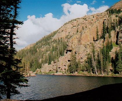
Mirror Lake Trail
Rockies Playground · 21.8 km away

Deluge Lake Trail
Rockies Playground · 24.0 km away
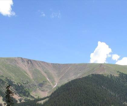
Berthoud pass
Rockies Playground · 28.2 km away
Winter Park Ski Resort
Rockies Playground · 30.2 km away
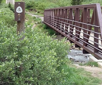
Grays Peak Trail
Denver and Cities of the Rockies · 31.3 km away
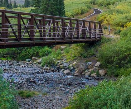
Grays Peak, Colorado
Denver and Cities of the Rockies · 32.4 km away
Hiking near Regina
4 trails to explore ~1186 km away
We work hard to provide the most up-to-date and error-free data possible. If something seems incorrect, let us know! Your contribution helps the whole community.
Hikers' opinions
Be the first to review!
No hiker has shared their experience yet. Share your impressions and help other hikers!