
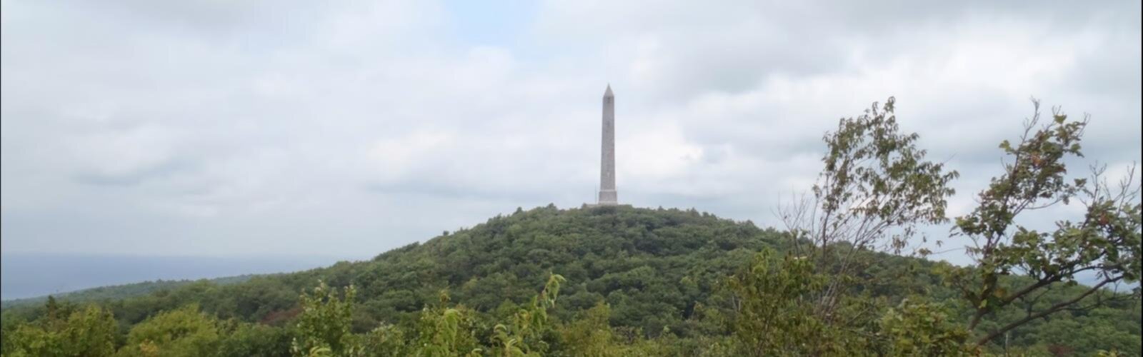

Ready to explore Hamburg Mountains High Point, New Jersey? Here's everything you need to know before you go!
Discover the trail
Oh no! We don't have any photos 😢
This trail hasn't been captured yet. Be the first to share your adventure!Trail description
Hamburg Mountain and High Point in New Jersey sit within the Delaware Water Gap region, offering a rugged and rewarding experience for hikers who want something more than a casual walk in the woods. This area draws people who are comfortable with uneven terrain and are looking for a genuine backcountry feel without driving hours from the metro area.
The Terrain
The landscape here is classic New Jersey Highlands — rocky ridgelines, mixed hardwood forest, and open ledges that reward the effort it takes to reach them. The trails move through dense canopy before breaking out onto exposed rock faces where the views open up considerably. Underfoot, expect roots, loose stone, and sections where you're essentially scrambling rather than walking. Trekking poles are a smart call, especially on the descent.
The Hamburg Mountain area connects to the broader trail network in this part of the state, which means you have options depending on how much ground you want to cover. The ridgeline itself has a raw, undeveloped character that feels increasingly rare in the northeastern United States.
What Makes This Area Stand Out
Within the Delaware Water Gap region, Hamburg Mountain offers a less-trafficked alternative to some of the more popular destinations nearby. The trailhead doesn't have the same name recognition as some other spots in the area, which works in your favor on weekends when parking lots elsewhere are overflowing. The forest here has a quiet density to it — you're not walking alongside crowds, and the wildlife reflects that. Keep your eyes open and your noise level down.
The connection to High Point adds another dimension to the hike. Reaching the high ground gives you a sense of the broader ridge system that defines this part of New Jersey, and on a clear day the payoff is real. This isn't a manufactured viewpoint — it's the kind of spot you earn.
Trail Character
The trails in this area are not heavily manicured. Blowdowns, seasonal mud, and unmarked side paths are part of the experience. If you're used to well-groomed state park trails, this will feel different — in a good way if you're ready for it, and potentially frustrating if you're not. A downloaded offline map or a GPS track is strongly recommended before you head out. Cell service in the area can be unreliable.
The route involves meaningful elevation change, and the rocky sections require attention. This isn't a trail for young children or anyone who isn't comfortable with uneven footing. For experienced hikers, though, the challenge is part of the appeal.
Practical Information
- Location: Hamburg Mountain and High Point are located in the Delaware Water Gap area of New Jersey.
- Trailhead access: Check current road and parking conditions before you go — access points in this region can vary seasonally and some require navigating unmarked forest roads.
- Navigation: Bring a downloaded map. Trail signage in this area is minimal in places, and relying solely on your phone's data connection is risky.
- Footwear: Sturdy hiking boots with ankle support are the right call given the rocky, rooted terrain.
- Water: Carry everything you need. There are no reliable water sources or facilities along the trail.
- Dogs: Check current regulations for the specific land management area before bringing a dog. Rules can vary across parcels in this region.
Seasonal Considerations
Spring brings mud and the possibility of icy patches at elevation well into April. Summer is lush but can be hot and humid — start early if you're going in July or August. Fall is the prime season for this kind of terrain: cooler temperatures, drier trails, and the hardwood forest puts on a serious show. Winter hiking is possible for those with the right gear, but the rocky sections become significantly more hazardous when iced over.
Who This Hike Is For
Hamburg Mountain and High Point in New Jersey are best suited for hikers who have some experience under their belt and are comfortable navigating terrain that doesn't hold your hand. If you're looking for a paved path or a clearly signed loop with benches along the way, this isn't it. But if you want a legitimate ridge hike with real views, genuine solitude, and the kind of trail that reminds you why you started hiking in the first place, this area delivers.
It's also a solid option for hikers based in the New York or Philadelphia metro areas who want to get into proper backcountry terrain without a long drive — the Delaware Water Gap region as a whole punches well above its weight for accessible wilderness, and Hamburg Mountain is one of its quieter, more authentic corners.
The Essential Hiking Checklist
Everything you need for your next hike. Bilingual, printable, 1 page.
Get your free hiking checklistRecommended gear for this trail
As an Amazon Associate I earn from qualifying purchases.


Ready to go?
Everything you need to know before you goWhen?
How much?
As an Amazon Associate I earn from qualifying purchases.
Affiliate links — LGPO may earn a commission at no extra cost to you.
- Hiking shoes Essential
- → Salomon Elixir Tour Mid WP · 203.38 $
- Layered clothing Essential
- Rain jacket Essential
- Trekking poles
- → Black Diamond Trail Ergo Cork · 69.99 $
- Headlamp
- → Petzl Actik Core 625 · 103.95 $
FAQ - Frequently asked questions
Everything you need to knowSimilar hikes nearby
Discover other trails you might enjoy
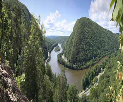
Mt Tammany Red Dot Trail
Delaware Water Gap
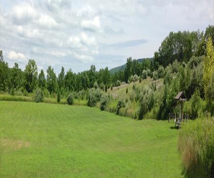
Appalachian Trail Boardwalk
Delaware Water Gap

Lebanon Lake
Delaware Water Gap
AMC Mohican Outdoor Center
Delaware Water Gap
Hiking near Newark
0 trails to explore ~54 km away
We work hard to provide the most up-to-date and error-free data possible. If something seems incorrect, let us know! Your contribution helps the whole community.
Hikers' opinions
Be the first to review!
No hiker has shared their experience yet. Share your impressions and help other hikers!