
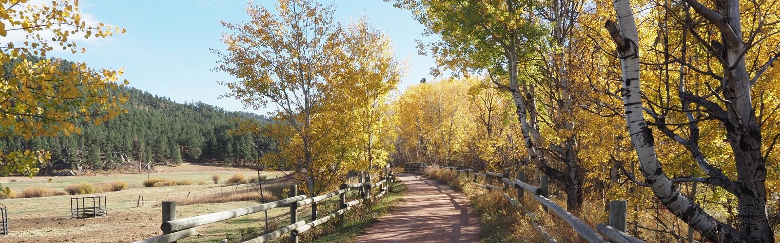

Ready to explore George S. Mickelson Trail? Here's everything you need to know before you go!
Discover the trail
Oh no! We don't have any photos 😢
This trail hasn't been captured yet. Be the first to share your adventure!Trail description
The George S. Mickelson Trail is one of South Dakota's most celebrated rail-trails, cutting through the heart of the Black Hills on a converted railroad corridor. Whether you're hiking, biking, or simply looking for a long, scenic route through pine-covered hills and historic gold rush country, this trail delivers an experience that's hard to match anywhere in the region.
What Kind of Trail Is This?
The Mickelson Trail follows the old Deadwood to Edgemont Burlington Northern railroad bed, which means the grade stays gentle throughout — a major draw for families, casual hikers, and cyclists who want distance without brutal climbs. The crushed limestone surface is well-maintained and accessible for a wide range of users. This isn't a rugged backcountry scramble; it's a long-distance corridor trail designed for multi-day adventures or shorter out-and-back sections depending on your starting point.
The trail passes through tunnels blasted through solid rock, over trestles spanning creek valleys, and through small Black Hills communities that still carry the character of the region's mining and railroad past. These aren't just scenic checkpoints — they're genuine landmarks that give the trail a sense of place and history you won't find on a typical forest path.
The Terrain and Landscape
The Black Hills surround you for most of the route. Ponderosa pine dominates the hillsides, with stretches of open meadow and creek-side sections that break up the forest canopy. The landscape shifts noticeably as you move through different elevations and drainages — rocky outcrops, grassy draws, and dense timber all make appearances depending on where you are on the trail.
Wildlife sightings are common. Deer are a regular presence, and the quieter sections of trail — especially early morning — give you a real chance to spot birds and other animals without the noise of a busy trailhead. The corridor's linear nature means you're moving through habitat rather than looping through it, which changes the feel of the experience entirely.
Tunnels and Trestles
The tunnels are one of the most distinctive features of the Mickelson Trail. Carved through the granite and schist of the Black Hills, they're cool, dark, and genuinely impressive — a reminder of the engineering effort that went into building the original railroad. Bring a light source if you plan to walk through them; they're not lit, and the darkness is complete once you're inside.
The trestles offer elevated views across creek valleys and forested drainages. Standing on one of these wooden structures above the tree line gives you a perspective on the Black Hills terrain that you simply can't get from the ground. These are natural stopping points for photos and a good excuse to slow down and take in the surroundings.
Access Points and Trailheads
The trail has multiple access points along its length, which makes it flexible for day hikers who want to cover a specific section rather than committing to the full route. Trailheads are spaced throughout the corridor, and several small communities along the way offer resupply options for those doing longer stretches. Parking is available at the main trailheads, though availability can vary depending on the season and day of the week.
A trail pass is required to use the George S. Mickelson Trail. Passes are available at self-pay stations at the trailheads and can also be purchased in advance. This fee supports ongoing maintenance of the trail surface, trestles, and facilities — and given the condition of the trail, it's money well spent.
Who Is This Trail For?
The Mickelson Trail works well for a wide range of users. Hikers looking for a long-distance point-to-point experience will find the gentle grade and consistent surface ideal for covering serious mileage without punishing their knees. Families with kids can pick a shorter section between two trailheads and enjoy a manageable out-and-back without worrying about technical terrain.
Cyclists are a major presence on the trail, and the shared-use corridor means hikers should expect to encounter bikes, especially on weekends and during peak summer months. The trail is wide enough that passing isn't an issue, but it's worth keeping in mind if you're looking for a solitary wilderness experience — this is a popular, well-used trail.
Horseback riding is also permitted on designated sections of the trail, adding to the variety of users you'll encounter. Dogs are welcome on leash.
Planning Your Visit
The Black Hills experience real seasons, and trail conditions on the Mickelson Trail reflect that. Spring can bring muddy sections as snowmelt works through the crushed limestone surface. Summer is the busiest period, with long daylight hours and warm temperatures making it the most popular time to visit. Fall brings cooler air and changing colors in the deciduous pockets along the route — a genuinely good time to be out here. Winter use is possible but conditions vary significantly, and some facilities may be closed.
- Trail surface: Crushed limestone throughout
- Grade: Gentle, following the original railroad bed
- Tunnels: Multiple — bring a headlamp or flashlight
- Trestles: Several, with elevated views of the surrounding terrain
- Trail pass: Required — available at trailhead self-pay stations
- Dogs: Permitted on leash
- Bikes: Permitted — shared use corridor
- Horses: Permitted on designated sections
- Multiple access points: Allows flexible day-use sections
What Makes It Worth the Trip
The George S. Mickelson Trail stands out in the Black Hills because it combines genuine history, distinctive infrastructure, and consistent scenery over a long continuous corridor. The tunnels and trestles alone set it apart from most rail-trails in the country. Add the ponderosa pine landscape, the wildlife, and the connection to the region's railroad and mining heritage, and you have a trail that rewards both the casual day visitor and the committed long-distance traveler.
The Essential Hiking Checklist
Everything you need for your next hike. Bilingual, printable, 1 page.
Get your free hiking checklistRecommended gear for this trail
As an Amazon Associate I earn from qualifying purchases.


Ready to go?
Everything you need to know before you goWhen?
How much?
As an Amazon Associate I earn from qualifying purchases.
Affiliate links — LGPO may earn a commission at no extra cost to you.
- Hiking shoes Essential
- → Salomon Elixir Tour Mid WP · 203.38 $
- Layered clothing Essential
- Rain jacket Essential
- Trekking poles
- → Black Diamond Trail Ergo Cork · 69.99 $
- Headlamp
- → Petzl Actik Core 625 · 103.95 $
FAQ - Frequently asked questions
Everything you need to knowSimilar hikes nearby
Discover other trails you might enjoy
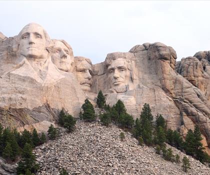
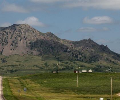
Hiking near Brandon
5 trails to explore ~673 km away
We work hard to provide the most up-to-date and error-free data possible. If something seems incorrect, let us know! Your contribution helps the whole community.
Hikers' opinions
Be the first to review!
No hiker has shared their experience yet. Share your impressions and help other hikers!