
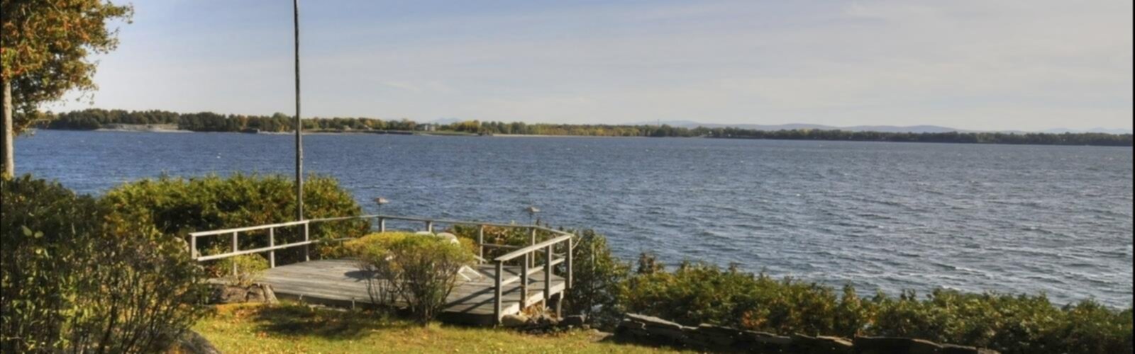

Ready to explore Isle La Motte Another Side of Vermont? Here's everything you need to know before you go!
Discover the trail
Oh no! We don't have any photos 😢
This trail hasn't been captured yet. Be the first to share your adventure!Trail description
Points of Interest on the Island
Beyond the Fisk Quarry Preserve, the island has a few other spots worth seeking out:
- Goodsell Ridge Preserve: Another protected area on the island managed by the Isle La Motte Preservation Trust, featuring more reef exposures and natural habitat. The landscape here gives you a good sense of how the reef geology shapes the entire island.
- Saint Anne's Shrine: Located on the western shore of the island, this marks the site of a short-lived French military outpost established in 1666. The shrine grounds sit right on the lake and include a small beach — one of the few sandy spots on Lake Champlain in Vermont.
- Lake Champlain shoreline: The island's position in the northern part of the lake means you're looking out toward Quebec to the north and the Adirondacks to the west. The light on the water in the late afternoon is worth the trip on its own.
The Essential Hiking Checklist
Everything you need for your next hike. Bilingual, printable, 1 page.
Get your free hiking checklistRecommended gear for this trail
As an Amazon Associate I earn from qualifying purchases.


Ready to go?
Everything you need to know before you goStarting Point
To access the hiking trails, head to the designated parking area located at 4039 Main Street, Isle La Motte, VT 05463. This is the primary starting point for exploring the trails in the area.
When?
How much?
As an Amazon Associate I earn from qualifying purchases.
Affiliate links — LGPO may earn a commission at no extra cost to you.
- Hiking shoes Essential
- → Salomon Elixir Tour Mid WP · 203.38 $
- Layered clothing Essential
- Rain jacket Essential
- Trekking poles
- → Black Diamond Trail Ergo Cork · 69.99 $
- Headlamp
- → Petzl Actik Core 625 · 103.95 $
FAQ - Frequently asked questions
Everything you need to knowSimilar hikes nearby
Discover other trails you might enjoy

Vermont Association of Snow Travelers
Central Vermont
Northern Forest Canoe Trail
Central Vermont
Sterling Pond Trail
Central Vermont
Lake Mansfield Trout Club
Central Vermont
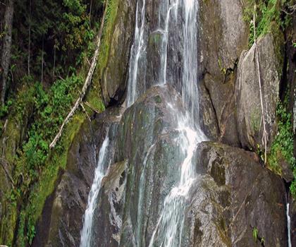
Moss Glen Falls
Central Vermont
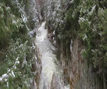
Mill Trail
Central Vermont
Hiking near Sydney
22 trails to explore ~7537 km away
We work hard to provide the most up-to-date and error-free data possible. If something seems incorrect, let us know! Your contribution helps the whole community.
Hikers' opinions
Be the first to review!
No hiker has shared their experience yet. Share your impressions and help other hikers!