
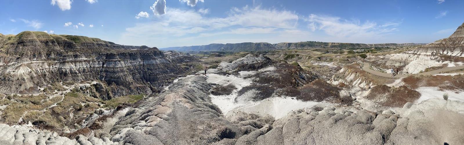

Ready to explore Midland Provincial Park? Here's everything you need to know before you go!
Discover the trail
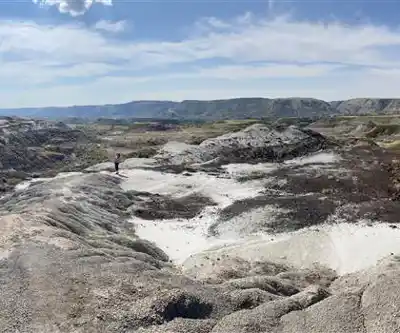
Trail description
Midland Provincial Park is one of central Alberta's quieter gems — a compact park that delivers a genuinely varied hiking experience without the lineups and parking headaches you'll find at more famous destinations. At 2.8 kilometers with 500 meters of elevation gain, this trail punches above its weight, offering enough terrain diversity and natural interest to keep you engaged well beyond what the distance suggests. Budget around two hours and fifteen minutes for the full route.
Trail Experience and Terrain
The trail moves through a landscape that shifts noticeably as you gain elevation. Lower sections roll through open areas where the sky feels wide and the views start building early. As you climb, the character of the trail changes — forest cover increases, the ground softens underfoot, and the temperature drops a few degrees even on warm days. That transition between open and forested terrain is one of the more satisfying aspects of this route; it never feels monotonous.
The 500-meter elevation gain over 2.8 kilometers means the trail has some real pitch to it in places. It's rated easy, but that gain is genuine, and you'll feel it in your legs on the way up. The reward is a series of natural viewpoints where the central Alberta countryside opens up around you — rolling hills, patches of boreal forest, and the kind of wide horizon that reminds you exactly where you are in this province.
The trail is well-maintained and clearly marked, which makes route-finding straightforward. Footing varies depending on recent weather — rocky and firm in dry conditions, softer and potentially muddy after rain or during spring snowmelt. Either way, the path is manageable for most hikers with reasonable footwear.
Wildlife and Natural Features
The park's mix of open terrain and forested sections creates distinct habitat zones within a relatively small area. White-tailed deer are a common sight, particularly during the quieter hours of early morning or evening. The varied plant communities also attract a good range of bird species, so it's worth slowing down and listening as you move through different sections of the trail.
The open areas support wildflower growth through spring and into summer, while the deciduous portions of the forest put on a strong show in fall. Because the habitat shifts several times over the course of the route, repeat visits in different seasons genuinely feel like different hikes — the details you notice change substantially with the light, the season, and the weather.
Educational and Cultural Context
What gives Midland Provincial Park an extra layer of interest is its connection to the paleontological history of central Alberta. The park sits in a region with deep geological significance, and the proximity to the Royal Tyrrell Museum adds real context to what you're walking through. If you're visiting with kids or anyone curious about natural history, pairing the hike with a museum visit makes for a full and genuinely educational day out. The rock formations and soil variations along the trail reflect millions of years of environmental change — it's worth pausing to look at what's underfoot, not just what's on the horizon.
Seasonal Considerations
Central Alberta's seasons each bring something different to this trail. Spring hiking means wildflowers in the lower sections, but also soft ground and potentially muddy stretches as the frost works its way out. Summer offers the most reliable conditions and the longest days, though the open sections can get warm — there's limited shade in those areas, so sun protection matters. Fall is arguably the strongest season here: comfortable temperatures, good footing, and the deciduous sections turning yellow and orange. Winter shifts the park into snowshoe territory rather than traditional hiking.
Weather in this part of Alberta can move quickly. A clear morning can turn windy and cool by afternoon, especially at the higher viewpoints where there's nothing to block the wind. Check the forecast before you head out and dress with that variability in mind.
What to Bring
The 2.8-kilometer distance is short enough that you don't need to overpack, but the elevation gain and terrain variety mean a few basics genuinely matter here:
- Water: More than you think you'll need, especially in summer. The open sections offer little shade, and the climb increases your fluid requirements.
- Footwear: Hiking boots or sturdy trail shoes with ankle support are the right call. The rocky sections and potential mud make casual athletic shoes a less comfortable choice.
- Layers: Temperature shifts between the open meadow sections and the forested areas are noticeable. A lightweight wind shell or rain jacket is worth throwing in your pack even on days that start sunny.
- Snacks: The elevation gain is real enough that a bit of fuel on the way up makes the climb more comfortable.
- Binoculars: Optional, but worthwhile if wildlife or bird observation is part of why you're out here.
Staying on Trail
The varied plant communities throughout the park are sensitive to foot traffic, and the park's compact size means that shortcuts and off-trail wandering have a concentrated impact. Stick to the designated path, pack out everything you bring in, and give wildlife the space it needs. The trail is well-defined enough that there's no real reason to leave it — and the route itself takes you through the best the park has to offer.
The Essential Hiking Checklist
Everything you need for your next hike. Bilingual, printable, 1 page.
Get your free hiking checklistRecommended gear for this trail
As an Amazon Associate I earn from qualifying purchases.


Ready to go?
Everything you need to know before you goStarting Point
The midland provincial park is located in central Alberta, about an hour's drive north of Calgary. From Calgary, take Highway 2 north to the town of Cochrane. Turn left onto Highway 22 and drive for about 30 minutes until you reach the park entrance.
When?
How much?
As an Amazon Associate I earn from qualifying purchases.
Affiliate links — LGPO may earn a commission at no extra cost to you.
- Hiking shoes Essential
- → Salomon Elixir Tour Mid WP · 203.38 $
- Layered clothing Essential
- Rain jacket Essential
- Trekking poles
- → Black Diamond Trail Ergo Cork · 69.99 $
- Headlamp
- → Petzl Actik Core 625 · 103.95 $
FAQ - Frequently asked questions
Everything you need to knowSimilar hikes nearby
Discover other trails you might enjoy
Horsethief Canyon
Canadian Badlands
Dinosaur Provincial Park
Canadian Badlands
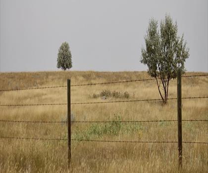
Kinbrook Island Provincial Park
Canadian Badlands

Drumheller HooDoos Trail
Canadian Badlands
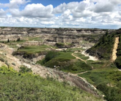
Horseshoe Canyon
Canadian Badlands

Cabin Lake
Canadian Badlands
Hiking near Airdrie
90 trails to explore ~89 km away
We work hard to provide the most up-to-date and error-free data possible. If something seems incorrect, let us know! Your contribution helps the whole community.
Hikers' opinions
Be the first to review!
No hiker has shared their experience yet. Share your impressions and help other hikers!