


Ready to explore Great Divide Trail? Here's everything you need to know before you go!
Discover the trail
Oh no! We don't have any photos 😢
This trail hasn't been captured yet. Be the first to share your adventure!Trail description
The Great Divide Trail (GDT) is one of the most ambitious long-distance hiking routes in North America. Stretching approximately 1,123 kilometers through the Canadian Rockies, it runs along the Continental Divide from Waterton Lakes National Park on the Canada-US border all the way north to Kakwa Provincial Park. This is not a casual weekend trip — it's a serious wilderness undertaking that demands experience, solid navigation skills, and a genuine tolerance for remote, rugged terrain.
What Kind of Trail Is This?
The GDT is not a single, uniform trail. It's a patchwork of established hiking paths, backcountry routes, mountain bike trails, roads, and wilderness corridors, all stitched together to form one continuous north-south route along the Great Divide. Some sections are well-marked and maintained; others are raw wilderness where route-finding becomes a real challenge. That contrast is part of what defines the experience.
The trail passes through five national parks, eight regional parks, three provincial natural parks, two natural areas, and two special management zones. Outside protected park boundaries, conditions shift significantly — expect less infrastructure, fewer trail markers, and longer stretches between resupply points.
The GDT is designated for non-mechanized use. That means foot travel and horseback riding only. While it crosses the Trans-Canada Trail and the Great Divide Mountain Bike Route in places — sharing roughly 30 kilometers with those routes — the GDT itself is strictly for hikers and equestrians.
The Numbers
At 1,123 kilometers with approximately 17,000 meters of total elevation gain, the Great Divide Trail is a genuine thru-hike. Most people completing the full route plan for 30 to 40 days on trail. The difficulty rating is very hard — and that's not an exaggeration. This route is best suited to experienced backcountry hikers who are comfortable with long daily mileage, river crossings, off-trail navigation, and extended time in remote wilderness.
What You'll Encounter on the Trail
The landscape along the GDT is relentlessly dramatic. You'll move through alpine meadows, dense subalpine forest, glacially carved valleys, and high rocky passes. Glacial streams are a constant presence — beautiful to look at, cold and fast to cross. Snow can fall at elevation even in midsummer, so conditions can change quickly and without much warning.
Wildlife is abundant throughout the corridor. Grizzly bears and black bears are present along much of the route, and bear awareness and proper food storage are non-negotiable. You may also encounter wolves, mountain lions, woodland caribou, and a wide range of bird species. Mosquitoes are a genuine factor in lower-elevation and wetter sections, particularly earlier in the season.
The scenery shifts constantly over 1,123 kilometers. Snow-capped peaks, iridescent glacial lakes, sweeping ridgeline views, and dense old-growth forest all make appearances. No two days look the same.
Planning and Logistics
Thru-hiking the GDT requires serious advance planning. Resupply logistics are complex given the remoteness of much of the route. Permits are required for camping within the national parks along the trail, and booking ahead is strongly recommended — especially for the more popular park sections during peak summer months.
The trail sees the most use from June through August, when snow conditions at higher elevations are most manageable. That said, early-season hikers should be prepared for significant snowpack on passes, and late-season travelers need to account for early autumn storms.
Because sections of the trail vary so widely in character — from groomed park paths to unmarked wilderness — carrying detailed topographic maps and knowing how to use them is essential. GPS is a useful backup, but not a substitute for solid map-and-compass skills on the more remote segments.
Who Should Attempt the GDT?
The Great Divide Trail is built for experienced, self-sufficient wilderness travelers. If you're new to backcountry hiking, this is not the place to start. But if you've logged serious miles in remote terrain, know how to manage river crossings, navigate off-trail, and handle multi-week resupply logistics, the GDT offers something genuinely rare: a long, continuous wilderness journey through some of the most spectacular mountain scenery in the world.
Many hikers choose to complete the trail in sections over multiple seasons rather than attempting the full thru-hike in one go — a perfectly valid approach that lets you experience different parts of the route without committing to a 30-to-40-day expedition all at once.
Getting Started
The southern terminus of the Great Divide Trail is at Waterton Lakes National Park, near the Canada-US border in southwestern Alberta. The northern terminus is at Kakwa Provincial Park in the northern Rockies. Most thru-hikers travel south to north, though the route can be completed in either direction.
Before heading out, consult the Great Divide Trail Association for current route conditions, updated maps, and section-by-section information — trail conditions and route details can change from year to year, and their resources are the most reliable source for up-to-date planning information.
The Essential Hiking Checklist
Everything you need for your next hike. Bilingual, printable, 1 page.
Get your free hiking checklistRecommended gear for this trail
As an Amazon Associate I earn from qualifying purchases.


Ready to go?
Everything you need to know before you goWhen?
How much?
As an Amazon Associate I earn from qualifying purchases.
Affiliate links — LGPO may earn a commission at no extra cost to you.
- Hiking shoes Essential
- → Salomon Elixir Tour Mid WP · 203.38 $
- Layered clothing Essential
- Rain jacket Essential
- Trekking poles
- → Black Diamond Trail Ergo Cork · 69.99 $
- Headlamp
- → Petzl Actik Core 625 · 103.95 $
FAQ - Frequently asked questions
Everything you need to knowSimilar hikes nearby
Discover other trails you might enjoy
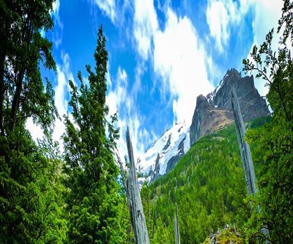
Fossil Mountain
Canadian Rockies

Snake Indian Mountain
Canadian Rockies
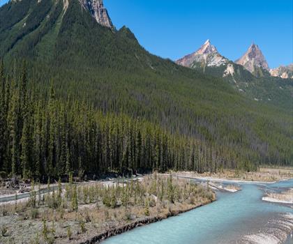
Mushroom Peak
Canadian Rockies
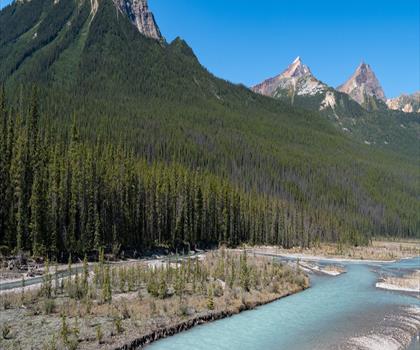
Mount Woolley
Canadian Rockies
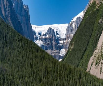
Stutfield Peak
Canadian Rockies
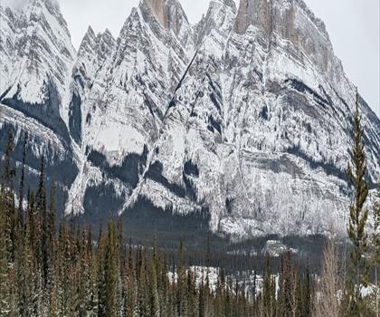
Mount Sarbach
Canadian Rockies
Hiking near Calgary
120 trails to explore ~228 km away
We work hard to provide the most up-to-date and error-free data possible. If something seems incorrect, let us know! Your contribution helps the whole community.
Hikers' opinions
Be the first to review!
No hiker has shared their experience yet. Share your impressions and help other hikers!