
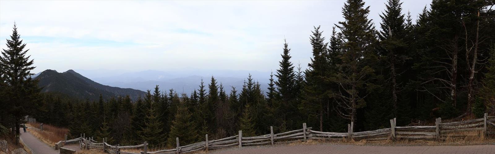
Ready to explore Mount Mitchell? Here's everything you need to know before you go!
Discover the trail
Trail description
Mount Mitchell is one of the more demanding objectives in Alberta's Canadian Rockies, and it earns that reputation honestly. At 19.3 kilometers with 3,040 meters of elevation gain, this is a full-day mountain hike that asks a lot from you — and gives back in equal measure. The views, the terrain variety, and the sheer physical accomplishment of reaching the summit make this a standout experience in Alberta North.
What to Expect on the Trail
The hike starts in forested terrain, which is actually a welcome introduction. The tree cover keeps things cooler during the early push, and the trail is well-defined as it winds upward through the lower slopes. This section gives you time to find your rhythm before the real climbing begins.
As you gain elevation, the forest gradually opens up. The transition from dense canopy to more exposed terrain is one of the most satisfying parts of the hike — you start to feel the scale of what you're climbing, and the views begin to open in all directions. Eventually you reach the alpine zone, where the landscape shifts to open meadows, rocky ridgelines, and the kind of wide-open sky that makes the Canadian Rockies so distinctive.
The 3,040 meters of elevation gain is the defining challenge here. That's a serious number — it means sustained climbing over the full length of the route, with very little flat relief to recover on. Your legs will know they've worked by the time you're done. The upside is that the changing terrain keeps the experience engaging throughout. You're not grinding up the same slope for hours; the character of the hike genuinely evolves as you climb.
Summit and Views
The summit of Mount Mitchell delivers the kind of panoramic perspective that justifies the effort. From the top, you're looking out across a broad sweep of the Canadian Rockies — neighboring peaks, deep valleys, and the layered ridgelines that define this part of Alberta. It's the sort of view that takes a moment to fully absorb.
The alpine meadows just below the summit are worth slowing down for as well. Depending on the season, these high-elevation grasslands can be remarkably colorful, and they offer a strong visual contrast against the surrounding rock and sky. If you're carrying a camera, you'll find no shortage of compelling compositions between the meadows and the peaks.
Time and Fitness Expectations
The estimated duration for this hike is 8 hours and 45 minutes, and that's a reasonable baseline for fit, experienced hikers moving at a steady pace. If you're not regularly doing big elevation days, plan for more time — 10 to 12 hours is realistic for many people, especially when you factor in breaks, summit time, and the slower pace that naturally comes with tired legs on the descent.
Start early. An alpine start isn't just about beating the crowds — it gives you a buffer against afternoon weather, which can move in quickly in the mountains. Getting off the summit before early afternoon is a smart target.
Gear and Preparation
A hike of this length and elevation gain requires proper preparation. A few things worth emphasizing:
- Layers and rain gear: Conditions at the summit can be dramatically different from the trailhead. Even on a warm morning below, it can be cold and windy up top. A rain shell and warm mid-layer are non-negotiable.
- Water and food: Bring more than you think you need. The sustained climbing burns through both quickly, and there's no resupply on the route. Electrolyte tabs or drink mix are worth carrying for a day this long.
- Navigation: The main trail is generally well-marked, but having a downloaded map or GPS backup is good practice on a remote mountain like this, particularly if weather reduces visibility.
- Bear awareness: Black bears are present in this area. Make noise on the trail, carry bear spray, and store food properly. Early morning and evening hours see more wildlife activity, so stay alert during those windows.
Safety on the Mountain
The combination of distance, elevation, and remote terrain means you need to take safety seriously on Mount Mitchell. Check the weather forecast before you go, but also keep an eye on conditions throughout the day — mountain weather doesn't always follow the forecast. Afternoon thunderstorms are a real concern in the Rockies, and being on an exposed summit or ridgeline when one rolls in is a situation you want to avoid.
Tell someone your plans before you head out, including your expected return time. On a hike this long, having someone who knows where you are and when to expect you back is a simple precaution that matters.
Leave No Trace
The alpine meadows on Mount Mitchell are fragile. High-elevation ecosystems recover slowly from damage — what looks like a minor shortcut across a meadow can leave marks that last for years. Stay on the established trail, pack out everything you bring in, and give wildlife the space they need. These practices are what keep places like this worth coming back to.
Everything you need for your next hike. Bilingual, printable, 1 page.
Get your free hiking checklistRecommended gear for this trail
As an Amazon Associate I earn from qualifying purchases.


Ready to go?
Everything you need to know before you goStarting Point
Mount Mitchell is an official place name in Alberta (about 52.4033° N, 117.5036° W). No official source consulted gives a trailhead or parking area for this summit. Check with the land manager before planning your trip.
When?
As an Amazon Associate I earn from qualifying purchases.
Affiliate links — LGPO may earn a commission at no extra cost to you.
- Hiking shoes Essential
- → Salomon Elixir Tour Mid WP · 203.38 $
- Layered clothing Essential
- Rain jacket Essential
- Trekking poles
- → Black Diamond Trail Ergo Cork · 69.99 $
- Headlamp
- → Petzl Actik Core 625 · 103.95 $
FAQ - Frequently asked questions
Everything you need to knowOutings near Mount Mitchell
Discover other trails you might enjoy
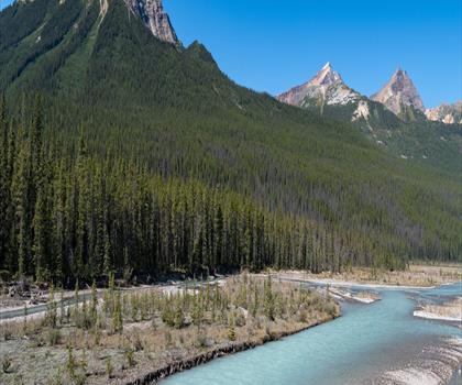
Mount McGuire
Canadian Rockies · 3.0 km away
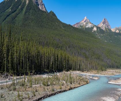
Gong Peak
Canadian Rockies · 3.0 km away
Mushroom Peak
Canadian Rockies · 10.6 km away
Mount Woolley
Canadian Rockies · 11.2 km away
Little Alberta
Canadian Rockies · 13.4 km away
Stanley Falls
Canadian Rockies · 13.4 km away
Hiking near Jasper
83 trails to explore ~67 km away
We work hard to provide the most up-to-date and error-free data possible. If something seems incorrect, let us know! Your contribution helps the whole community.
Hikers' opinions
Be the first to review!
No hiker has shared their experience yet. Share your impressions and help other hikers!