


Ready to explore Mount Southesk? Here's everything you need to know before you go!
Discover the trail
Oh no! We don't have any photos 😢
This trail hasn't been captured yet. Be the first to share your adventure!Trail description
Mount Southesk is one of those Canadian Rockies objectives that earns its reputation the hard way — through genuine remoteness, serious elevation gain, and terrain that keeps you honest from start to finish. This is not a peak you stumble onto by accident. Getting here requires commitment, and that commitment is exactly what keeps the crowds away and the wilderness intact.
The Approach and Terrain
The route to Mount Southesk moves through several distinct environments, each with its own character and demands. Lower sections pass through dense montane forest — spruce and fir standing close together, roots crossing the trail, the occasional muddy stretch after rain. It's the kind of forest that feels genuinely wild rather than managed, and it sets the tone for what's ahead.
As you gain elevation, the trees thin and the subalpine zone opens up. Meadows appear, and during the peak of summer they carry a solid spread of wildflowers — Indian paintbrush, alpine forget-me-nots, mountain avens. The views start opening up here too, giving you your first real sense of the scale of the surrounding terrain.
Higher still, the trail becomes less defined. Route-finding becomes part of the job. Cairns may mark portions of the upper route, but you can't count on them being complete or current. The alpine section involves scrambling over loose rock and navigating steep scree slopes where foot placement matters on every step. The final push to the summit crosses exposed ridges that require both physical endurance and a clear head. With 3,100 metres of elevation gain, this is a serious undertaking by any measure.
What Makes This Mountain Different
The thing that genuinely sets Mount Southesk apart from better-known peaks in the Canadian Rockies is its isolation. You're not going to share the summit with a crowd. The remote location filters out casual visitors, which means the mountain retains a wilderness character that's increasingly hard to find in this range. Out here, you're more likely to cross paths with wildlife than other hikers — and that's not a small thing.
That isolation also means you carry more responsibility. Cell coverage is unreliable at best and nonexistent at worst. Self-rescue capability matters here. Before you leave, tell someone your planned route and your expected return time. Carry a first aid kit and know how to use it. A satellite communicator is worth serious consideration given how far you are from help.
Summit Views
The views from the top of Mount Southesk are the payoff for everything the mountain asks of you. The surrounding peaks stretch out in every direction, with deep valleys cutting through the landscape below and glacial lakes visible in the distance. On a clear day, the panorama covers a substantial sweep of the Canadian Rockies — the kind of view that makes you stop talking and just look. Bring a camera with a full battery, and bring a backup.
Wildlife
The ecosystems around Mount Southesk support a solid range of wildlife. Deer and elk are common at lower elevations, especially in the early morning and late afternoon. Both black bears and grizzly bears inhabit this area — proper food storage and bear awareness are non-negotiable, not optional. Higher on the mountain, mountain goats navigate the rocky terrain with the kind of casual confidence that makes human scrambling look clumsy by comparison.
Weather and Conditions
Weather in the alpine zone of the Canadian Rockies changes fast. Afternoon thunderstorms are a real and regular hazard in summer, bringing lightning, hail, and sharp temperature drops. Snow is possible above treeline at any point in the season. Start early, watch the sky, and be willing to turn around if conditions shift against you. The mountain will be there another day.
Trail conditions in the lower sections vary with precipitation and season. Stream crossings may be required depending on water levels. The upper route involves loose rock and steep slopes that become significantly more serious when wet or icy. Early and late season attempts may require mountaineering equipment and winter travel skills.
Practical Considerations
An estimated 4 hours and 15 minutes is the baseline for this route, but that figure should be treated as a minimum for fit, experienced hikers moving efficiently. Factor in rest stops, weather delays, route-finding time on the upper sections, and the return trip. Pack more food and water than you think you need, carry layers for temperature swings, bring rain protection, and have emergency shelter available.
Leave No Trace principles matter especially in a place this remote. Pack out everything you bring in, stay on durable surfaces when the trail disappears, and keep a respectful distance from any wildlife you encounter. The wilderness character of Mount Southesk is worth protecting — and it depends on every person who visits making the right calls out there.
The Essential Hiking Checklist
Everything you need for your next hike. Bilingual, printable, 1 page.
Get your free hiking checklistRecommended gear for this trail
As an Amazon Associate I earn from qualifying purchases.


Ready to go?
Everything you need to know before you goStarting Point
The mount southesk is located in Alberta. To get to the start of the trails, take Highway 2 west from Edmonton to the town of Devon. Turn north on Highway 60 and drive for about 10 km. The trailhead is on the east side of the road.
When?
How much?
As an Amazon Associate I earn from qualifying purchases.
Affiliate links — LGPO may earn a commission at no extra cost to you.
- Hiking shoes Essential
- → Salomon Elixir Tour Mid WP · 203.38 $
- Layered clothing Essential
- Rain jacket Essential
- Trekking poles
- → Black Diamond Trail Ergo Cork · 69.99 $
- Headlamp
- → Petzl Actik Core 625 · 103.95 $
FAQ - Frequently asked questions
Everything you need to knowSimilar hikes nearby
Discover other trails you might enjoy
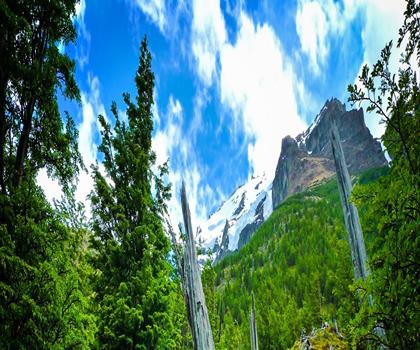
Fossil Mountain
Canadian Rockies

Snake Indian Mountain
Canadian Rockies
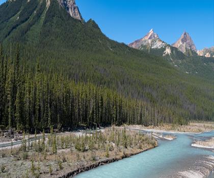
Mushroom Peak
Canadian Rockies
Mount Woolley
Canadian Rockies
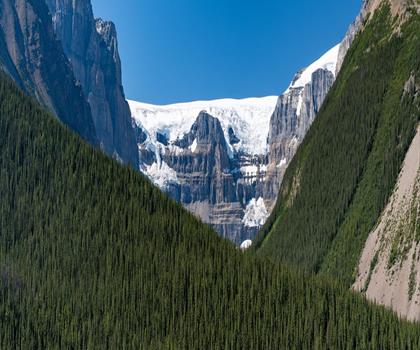
Stutfield Peak
Canadian Rockies
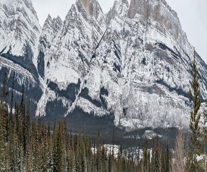
Mount Sarbach
Canadian Rockies
Hiking near Jasper
82 trails to explore ~68 km away
We work hard to provide the most up-to-date and error-free data possible. If something seems incorrect, let us know! Your contribution helps the whole community.
Hikers' opinions
Be the first to review!
No hiker has shared their experience yet. Share your impressions and help other hikers!